Research Articles When geophysics meets agriculture to uncover hidden soil and water dynamics for climate resilient cropping systems
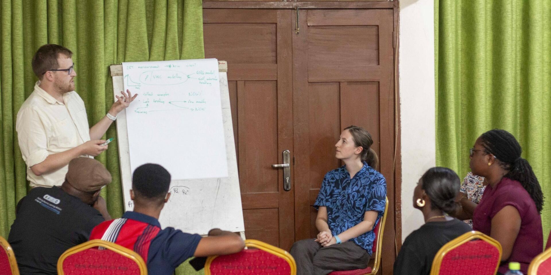

What happens beneath a crop field when it rains? Where does the water go? How long does it remain in the root zone? How does it move through the soil profile, and when does it become water that is no longer available to the crop?
These are fundamental questions in agricultural research, but they are also difficult to see. We can observe the crop above ground, measure rainfall at a weather station, measure soil moisture at selected points and assess crop yield at harvest. Yet between these measurements lies a dynamic underground system in which soil structure, pores, water, roots and groundwater interact continuously across space and time.
This hidden system matters greatly for farmers. As rainfall becomes increasingly variable and dry periods occur within growing seasons, the ability of a soil to capture, store and supply water to crop roots can influence whether a crop continues to grow or experiences water stress. Practices such as retaining crop residues and maintaining soil cover are widely promoted as climate-smart approaches because they can protect the soil surface, improve soil condition and reduce water losses. However, important questions remain about how these practices actually change water movement and storage beneath the field.
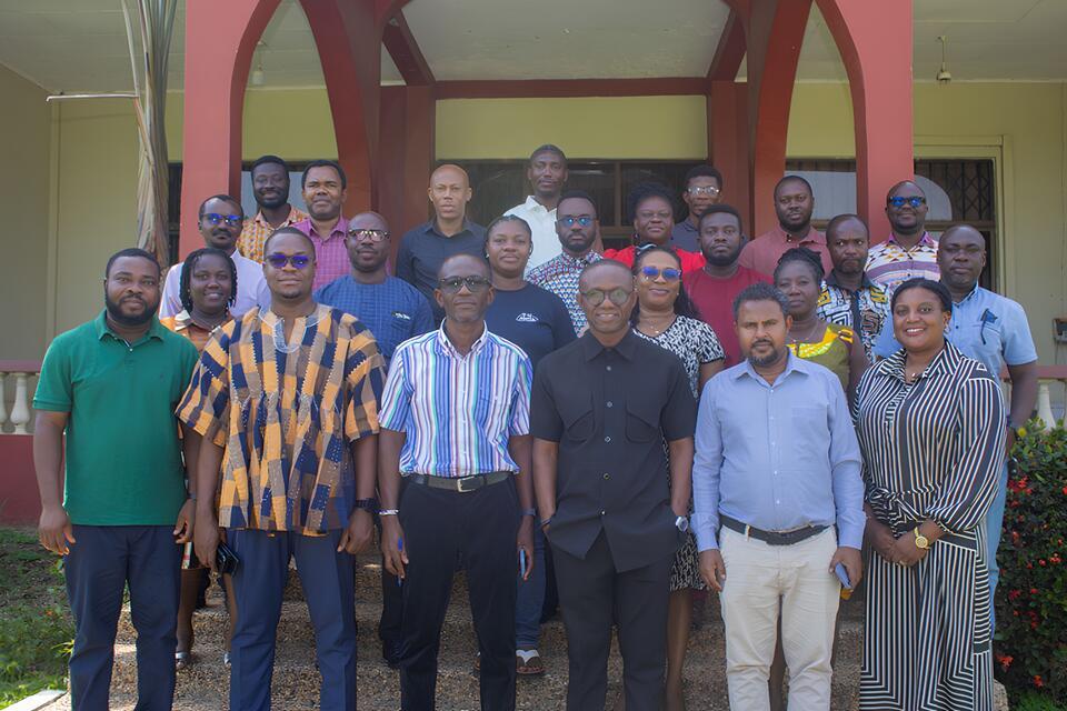
This is where a new interdisciplinary research collaboration in Ghana is looking beneath the surface. A project titled Geophysics for climate smart agriculture in Africa, funded by the United Kingdom Research and Innovation (UKRI), brings together the British Geological Survey (BGS), the University of Nottingham, the Alliance of Bioversity International and CIAT, Kwame Nkrumah University of Science and Technology (KNUST), and the CSIR-Crops Research Institute (CSIR-CRI) to deepen understanding of the processes that shape agricultural resilience and sustainability in a changing climate
At the heart of the research is a practical agricultural question: can retaining crop residues and maintaining soil cover help crops make better use of rainfall by changing how water enters, moves through and is stored within the soil?
The working hypothesis is that residue retention, particularly when combined with cover cropping, can reduce rapid water loss from the soil surface, promote infiltration and improve water storage within the root zone. These changes could help maintain water availability to crops during periods of limited or erratic rainfall. But to understand whether and why this happens, researchers need to observe processes that conventional agricultural measurements often capture only at isolated points.
Seeing what happens beneath the crop
At the centre of the collaboration is Electrical Resistivity Tomography (ERT), a geophysical approach that allows researchers to observe changes in the subsurface across space and over time.
ERT works by measuring the electrical resistivity of the subsurface. Because resistivity is influenced by factors including soil moisture, soil properties and the movement of water, repeated measurements can provide information about changes occurring within the soil profile. When ERT observations are calibrated and interpreted alongside direct soil and water measurements, they can help researchers understand how water moves and is stored within agricultural soils.
Rather than asking only how wet the soil is at a particular location, the project asks a broader question: how does agricultural management influence the movement and storage of water through the soil profile, and what do these changes mean for crop productivity?
For the British Geological Survey, this represents an opportunity to bring advanced geophysical monitoring into agricultural research.
As Russel Swift, the overall project lead, explains:
“ERT gives us a way of observing the subsurface as a dynamic system. Rather than taking occasional measurements at a few points, we can begin to follow how the soil responds to rainfall and drying across a volume of soil. That opens a new window into the physical processes underlying agricultural experiments.”
This new window is particularly important because many of the processes that determine crop resilience occur below the surface and remain largely invisible to conventional field observations.
From crop residues to root-zone water
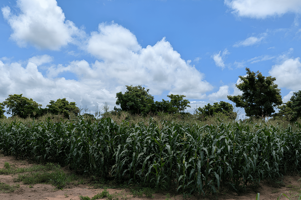
The agricultural foundation for the research is the field experiment hosted by CSIR-Crops Research Institute. The experiment compares conventional maize management with cover cropping and different levels of crop-residue mulching, creating an experimental platform in which the team can investigate how management practices influence relationships between soil, water and crops.
Crop residues are more than material left on the soil surface after harvest. They can influence the physical environment in which crops grow. By protecting the soil surface, residues may reduce evaporation, moderate soil temperature and protect soil aggregates from the impact of rainfall. As residues decompose, they can also contribute to changes in soil organic matter and soil structure. These changes can influence the soil pore system through which water enters and moves through the profile. They may affect infiltration, water storage, drainage and the rate at which the root zone wets and dries.
For farmers, however, the important question is not simply whether residues change the soil. The question is whether those changes help crops make better use of available rainfall and maintain productivity when water becomes limiting.The project therefore seeks to connect what farmers can see above ground, such as crop growth and yield, with what is happening beneath the surface.
Dr Kwaku Onwona Hwesofour Asante, a research scientist and an early-career researcher on the project, highlights this connection:
“The strength of this collaboration lies in bringing geophysical observation into a real agricultural experiment. With residue retention and cover cropping, we want to understand not only whether these practices improve crop performance, but how they change the soil-water environment beneath the crop. If we can see how residues influence infiltration, water storage and the supply of water to the root zone, we can better understand why these practices work and when they are most useful to farmers facing increasing rainfall variability and dry periods.”
This agricultural context is essential. Geophysical measurements can reveal patterns and changes beneath the soil surface, but those signals need to be interpreted within the context of crop management, soil properties, rainfall, crop growth and ultimately agricultural performance.
Seeing how water moves through the soil profile
One of the most important opportunities presented by ERT is the ability to investigate not simply where water is present, but how water moves through the soil profile. Rainfall does not simply become soil moisture. Once it reaches the field, water can infiltrate into the soil, be temporarily stored within soil pores, become available to plant roots, evaporate, move laterally or drain below the rooting zone. Some of this water may eventually contribute to groundwater recharge.
These processes are not constant. They are influenced by soil structure, residue cover, roots, rainfall intensity, antecedent soil moisture and crop development. The same rainfall event can therefore produce very different water dynamics under different management systems. This makes residue retention particularly interesting. If residues alter the way rainfall interacts with the soil surface, they may change the speed and pattern of infiltration. If they contribute to improved soil structure and pore connectivity, they may also influence how water is redistributed within the soil profile. If more water is retained within the root zone for longer, crops may have greater access to water between rainfall events.
The project will use ERT alongside conventional soil measurements to observe these changes across a larger volume of soil and at multiple points in time. The team will investigate differences in wetting and drying, water storage, root-zone water supply, infiltration and movement below the rooting zone.
This is where a multifunctional perspective becomes important, connecting what happens beneath the soil with agricultural decisions above it and the wider implications for productivity, sustainability and resilience Dr Patricia Amankwaa-Yeboah, a Co-PI of the project from the Alliance of Bioversity International and CIAT notes:
“Understanding soil and water dynamics is fundamental to designing climate-smart farming systems. Apart from our technical role in understanding the soil and water dynamics, we will help connect the physical evidence generated through the project with agricultural management decisions and the stakeholders who ultimately need to use that evidence.”
The objective, therefore, is not geophysics for its own sake. It is to use geophysical approaches to generate new insights into how agricultural management shapes the soil environment and to translate these insights into evidence that can support more effective and climate-resilient farming systems.
Making geophysics more accessible
A particularly important component of the collaboration is being led by KNUST, where researchers will work on the development, testing and deployment of low-cost, open-source and open-hardware resistivity instrumentation, including OhmPi-based systems. This is about more than purchasing equipment. The ambition is to strengthen local capacity to design, build, operate, repair and improve geophysical monitoring systems within Ghana and across West Africa.
Commercial geophysical equipment can be expensive and difficult to access. Developing instrumentation locally creates an opportunity for researchers to build systems that can be adapted to agricultural research needs and maintained within local institutions. As Dr Cyril Boateng, the Co-PI from the West Africa Geophysics Laboratory at KNUST, explains:
“We are not only applying ERT in Ghana; we are building the capability to develop and operate the technology locally. The development of low-cost resistivity instrumentation creates an opportunity for Ghanaian researchers to own the tools, the knowledge and the systems needed for future geophysical monitoring.”
The project will initially use available equipment so that field monitoring can begin early while locally developed instrumentation is produced and tested. In the longer term, the ambition is to expand the number of instrumented treatments and establish stronger capacity for continuous and accessible ERT monitoring.
This local technology-development component is important because it shifts the collaboration from simply using geophysical technology to also building the capability to develop, maintain and improve it.
Turning measurements into evidence
Seeing the subsurface is only the first step. The greater challenge is understanding what those observations mean. ERT will generate complex datasets containing information that varies across both space and time. These observations need to be considered alongside soil measurements, weather data, crop growth and yield, and the different management treatments within the agricultural experiment.
The University of Nottingham brings expertise in statistics and data science to address this challenge. Its role is to help determine how these complex datasets can be analysed rigorously and translated into robust scientific evidence. Dr Murray Lark from the University of Nottingham explains:
“The value of high-resolution monitoring is realised when we can translate complex spatial and temporal datasets into strong statistical evidence. We will help to determine whether observed differences between management systems are consistent, meaningful and explainable.”
The analytical challenge is therefore not simply to collect more data. It is to determine which changes are meaningful, how they vary across treatments and time, and how they relate to crop performance.
That distinction matters for farmers. A recommendation to retain residues is more useful when researchers can understand how the practice performs under different rainfall conditions, soil environments and levels of residue retention. Such evidence can ultimately support more targeted and practical recommendations rather than assuming that the same management approach will have the same effect everywhere.
Building the next generation of researchers
Perhaps one of the most important outcomes of the collaboration will not be a dataset or an instrument, but the people who develop the ability to work across these disciplines. The collaboration is designed to build the capabilities of early-career researchers across Ghanaian institutions through hands-on experience in geophysics, field experimentation, instrumentation, soil and water science, data management, statistics and scientific interpretation.
Researchers will gain experience across the full research process. They will work with field experiments, install and operate geophysical equipment, collect soil and crop measurements, process complex datasets and use statistical approaches to interpret spatial and temporal patterns.
This cross-disciplinary experience is particularly important because the questions being addressed do not belong to a single discipline. They sit at the intersection of physics, soil science, hydrology, agronomy, engineering and data science. The collaboration provides an opportunity to build a new generation of researchers who can move between these disciplines and use different forms of evidence to address complex agricultural and environmental questions.
A new way of looking at agricultural experiments
The broader ambition of the project is simple but potentially transformative. Can we better understand climate-smart agriculture by looking beyond what happens to the crop above ground and also understanding what happens to the soil and water beneath it? The project seeks to build this connection by examining how management practices such as residue retention and cover cropping influence soil structure and water dynamics, how those changes affect water availability in the root zone and how this ultimately influences crop performance.
It will also investigate how changes in soil-water dynamics influence the movement of water deeper into the soil profile, with implications for groundwater recharge, nutrient movement and conditions associated with N₂O emissions.
The collaboration thus brings together several perspectives that are often considered separately. Agricultural experiments provide the management context. Soil science helps explain changes in the physical environment. Geophysics provides a way of observing the subsurface. Instrumentation makes that observation more accessible. Statistics and data science help transform complex measurements into evidence.
The fieldwork has begun. The instruments are being developed and installed. The datasets will grow. Researchers will learn across disciplines. And beneath the crop canopy, there is an entire soil-water-root system waiting to be understood.
Because sometimes, to understand what is happening above the ground, we first need to learn what is happening below it.