Blog From memory to map: How communities in Monze, Zambia are turning generations of grazing knowledge into digital maps for a climate-resilient future

In March 2026, 40 herdsmen and village leaders in Monze, Zambia, worked with partners to transform generations of grazing knowledge into digital maps, helping communities improve rangeland management and adapt to climate change.
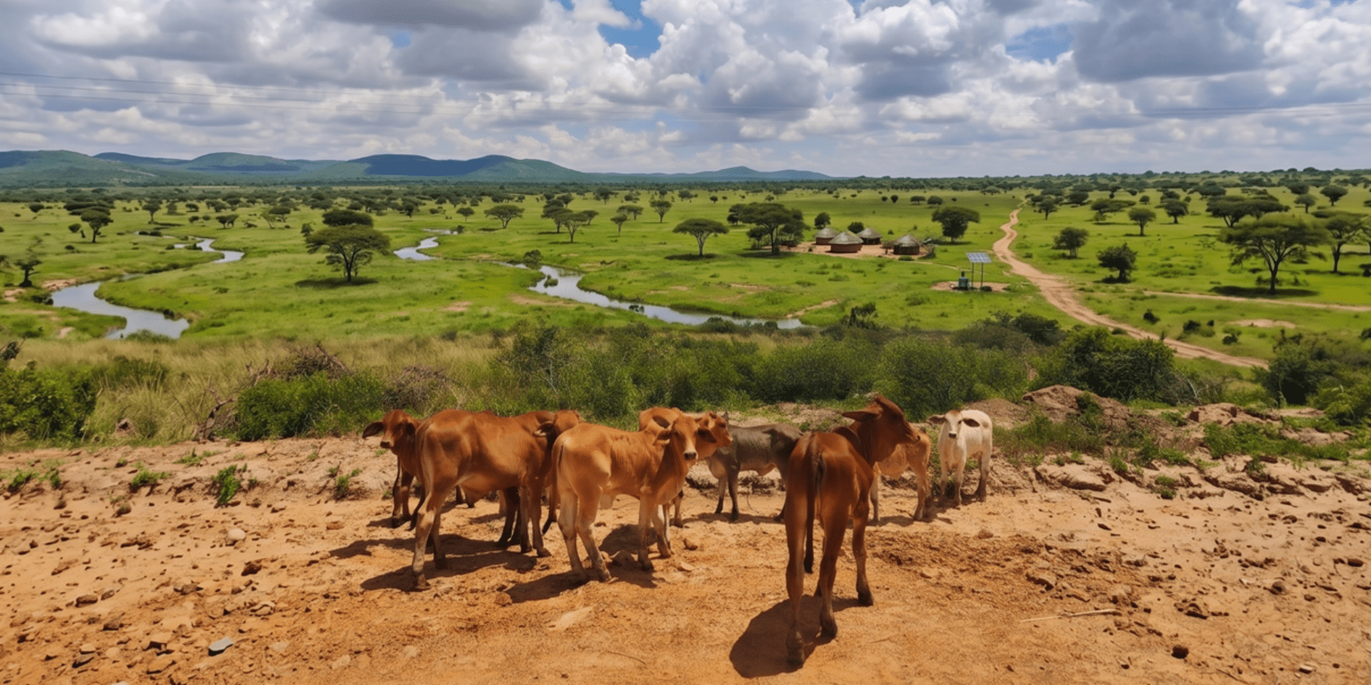
The land around Monze does not give up its secrets easily. Stretching across Southern Zambia in a gently undulating patchwork of open grassland, seasonal streams, flood plains, and low scattered hills, this landscape has sustained cattle herders and their families for generations.
The knowledge required to navigate it to know which paddock floods first, which hillside stays green deepest into the dry season, where a seasonal stream can be trusted and where it cannot is not written down anywhere. It lives in the memories of senior herdsmen, passed orally from father to son, tested season after season against a landscape that is itself slowly changing.
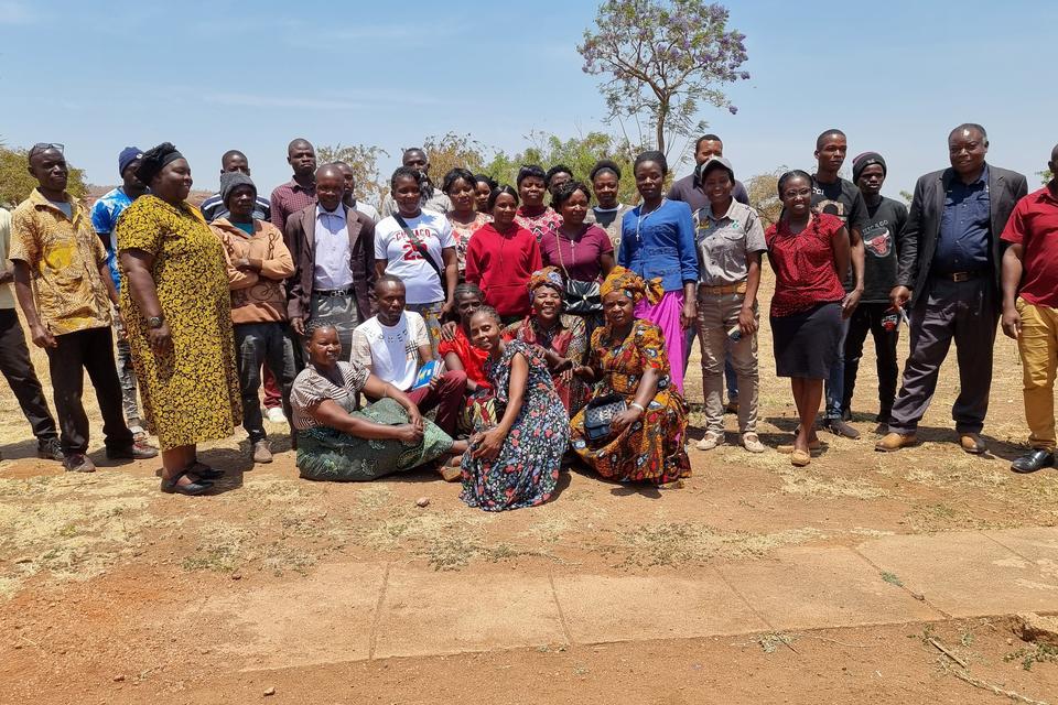
That is why, when forty senior herdsmen and Village Headmen gathered in Monze in late March 2026, they came not just as participants in a workshop. They came as the experts.
A landscape under pressure
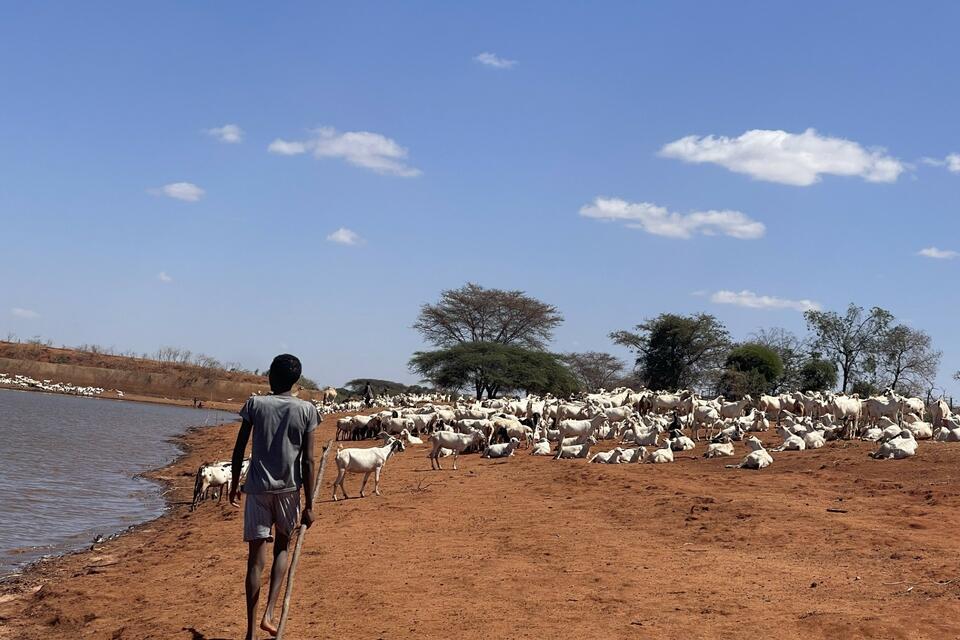
Monze District has long been the heartland of livestock production in Zambia's Southern Province. Estimates suggest there are at least 300,000 head of cattle here, alongside similarly large numbers of small ruminants a figure that reflects both the productivity of the land and the growing commercial pressures upon it. A lucrative and expanding export market to the Democratic Republic of Congo has brought renewed government attention to the livestock sector, and with it, intensifying demand on pastures that are already being squeezed by climate change.
Changing rainfall patterns, longer dry seasons, and encroaching land-use pressures are straining a system built on seasonal mobility and deep ecological knowledge. Tensions over pasture access between neighbouring communities, and between pastoralists and the wildlife of the Kafue Flats are rising. To the west and south, the boundaries of Lochinvar National Park and the Kafue Flats Wetland (a designated Ramsar site of international significance) define limits that cannot and must not be breached. The challenge facing communities is real and urgent: how to manage finite resources more efficiently, without sacrificing the ecological integrity that makes those resources possible in the first place.
The journey that led here
The participatory mapping workshop held from 24th–27th March 2026 did not begin in Monze. Its origins lie in a field visit made in December 2025, when a delegation of herdsmen and Village Chiefs from Monze travelled to the Africa Centre for Holistic Management Institute in Zimbabwe. There, they witnessed first-hand the transformative potential of structured rangeland management: paddock rotation plans that allowed pastures to recover; land quality assessments that distinguished productive grassland from degraded ground; and clear evidence of pasture regeneration where thoughtful management had replaced uncontrolled grazing.
The visit left a mark. The communities returned to Monze with a new vocabulary for challenges they had always known, and with an assignment: to go back to their wards and collectively identify their key grazing areas, emerging conflicts, and the solutions that felt within reach. That process of reflection and community consultation would provide the raw material for the March workshop.
The workshop: four days, forty experts
The March workshop was jointly organized by Solidaridad Zambia and the Alliance of Bioversity International and CIAT and funded by the International Water Management Institute (IWMI) through the Water and Soil Accelerator project. Forty participants attended, representing the four target traditional wards of Banakaila, Moonze, Munjenze, and Chitebba. Alongside them sat representatives from the District Forest Department, the Zambia Wildlife Authority, the International Cranes Foundation, and other government and civil society stakeholders.
From the outset, the design of the workshop reflected a clear conviction: the communities were not there to receive information. They were there to generate it.
Day one: naming the challenges, owning the solutions
The workshop opened with participants feeding back on the consultation exercise they had carried out in their home communities since returning from Zimbabwe. Divided into four groups by ward, they laid out the landscape of challenges they faced: pressures on pasture, emerging conflicts, degraded water points, uncontrolled burning. They then worked together to identify potential solutions the first seeds of what, eventually, will become community-developed bylaws for rangeland management.
What emerged from the room was not simple consensus. There was vigorous debate, especially when participants were asked to rank solutions by their likely impact and ease of implementation. Nearly everyone agreed that banning uncontrolled bush burning would have a high positive impact. Almost no one agreed on how easy it would be to enforce. That tension between knowing what is right and finding a way to make it real was not papered over. It was held, discussed, and documented. The exercise was designed not to produce a tidy resolution, but to sharpen communities' ability to think critically about what was realistic.
Day two: learning the full picture
Day Two opened with presentations from the International Cranes Foundation and the Zambia Wildlife Authority. The focus: the ecological significance of Lochinvar National Park and the Kafue Flats Wetland landscapes that sit at the very edge of the communities' traditional grazing areas, and whose health is inseparable from the health of the pastures beyond their boundaries.
For many participants, this was a moment of renewed recognition. The Kafue Flats is not an abstraction. It is the wet-season refuge for cattle herds, the source of seasonal grasses that sustain animals through the transition from rains to dry season. Understanding it as a formally designated site of global ecological importance added a new dimension to something communities had always known in practical terms: that the land beyond their paddocks mattered.
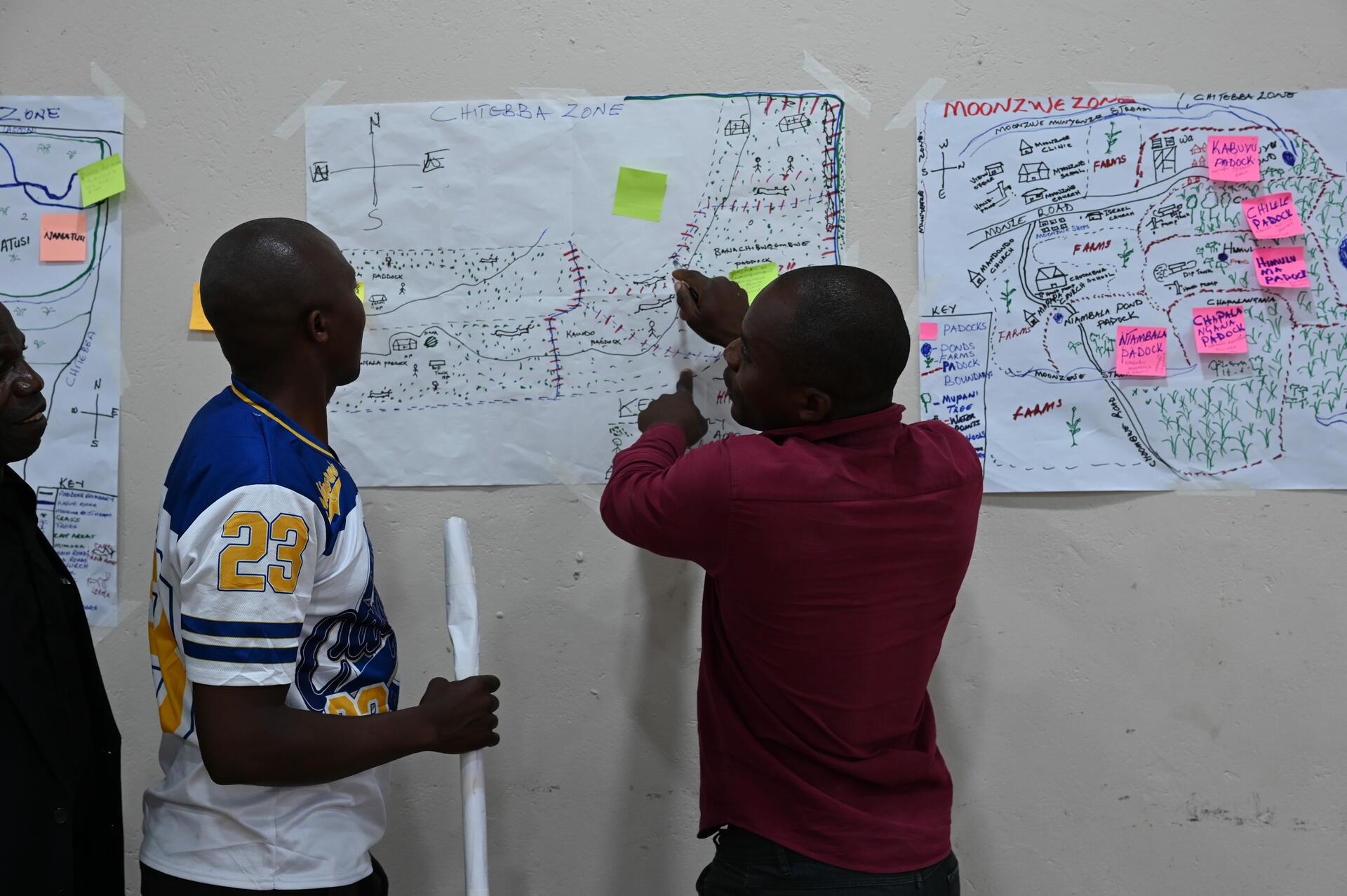
After the presentations, the room shifted into cartographic mode. Participants took flip charts, pens, and the spatial knowledge stored in their own memories and began to draw. Roads, rivers, boreholes, water points, dip tanks, churches, schools, prominent trees, and paddock boundaries gradually appeared, each group producing a map with its own distinct character and 'signature style.'
High levels of engagement and interaction animated every table. Each person had the opportunity to add what they knew a seasonal stream that only a herdsman who had grazed there in a dry year would remember; a paddock boundary marked by a prominent Acacia that appeared on no official map but was known by everyone in the ward. The individual contributions wove together into something larger: not just a map of the land, but a portrait of the community's relationship with it.
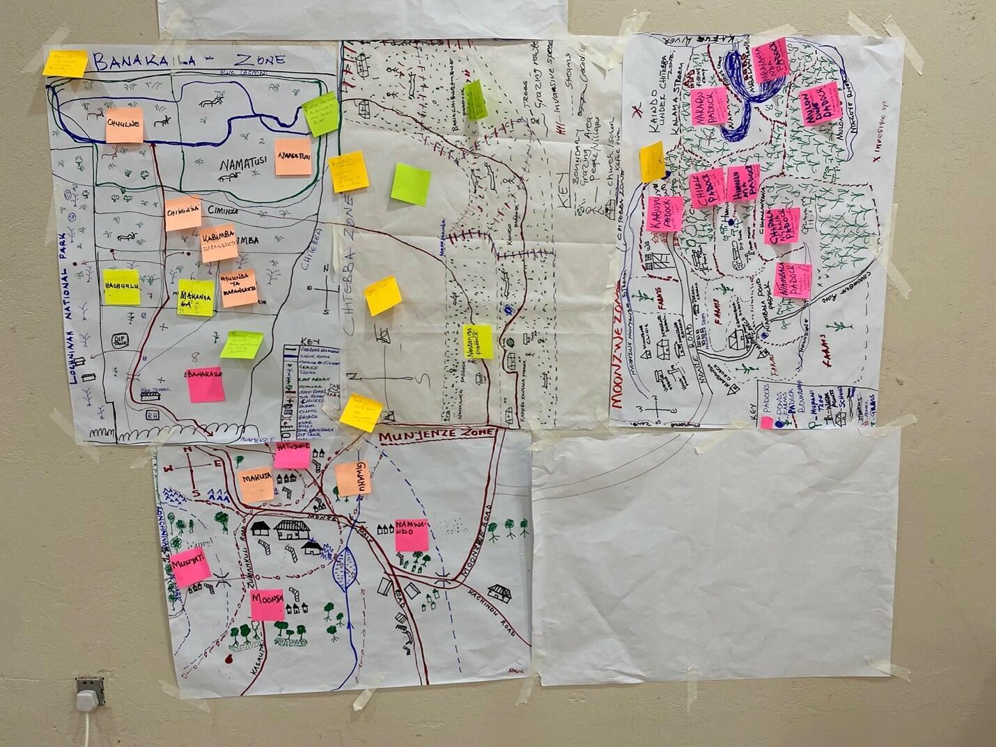
By the end of Day Two, the groups brought their individual maps together, placing them side by side and working collectively to align boundaries, reconcile any discrepancies, and assemble a coherent mosaic of the full grazing landscape.
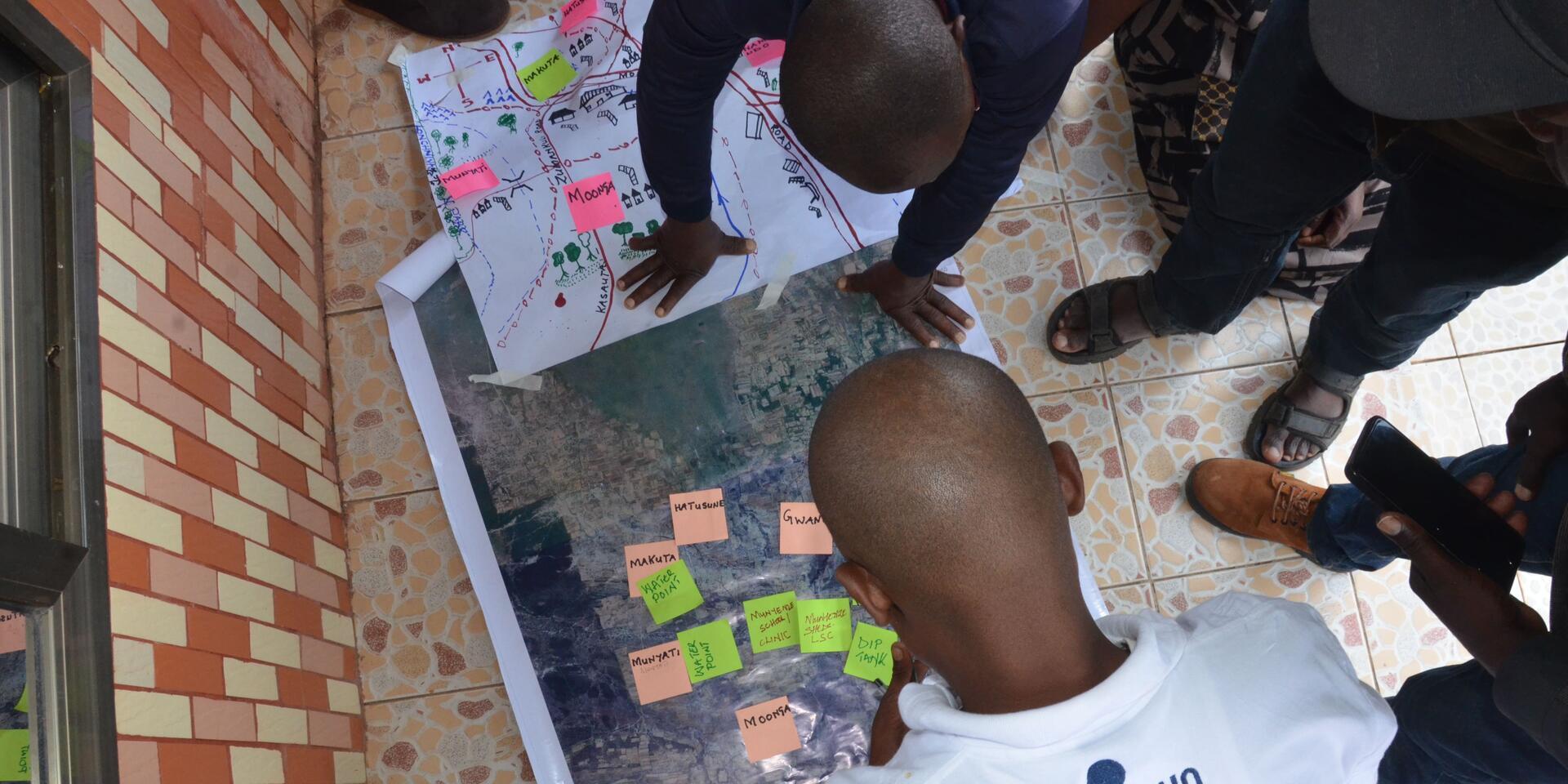
Participants sketching maps on flip charts.
Day three: from paper to pixel
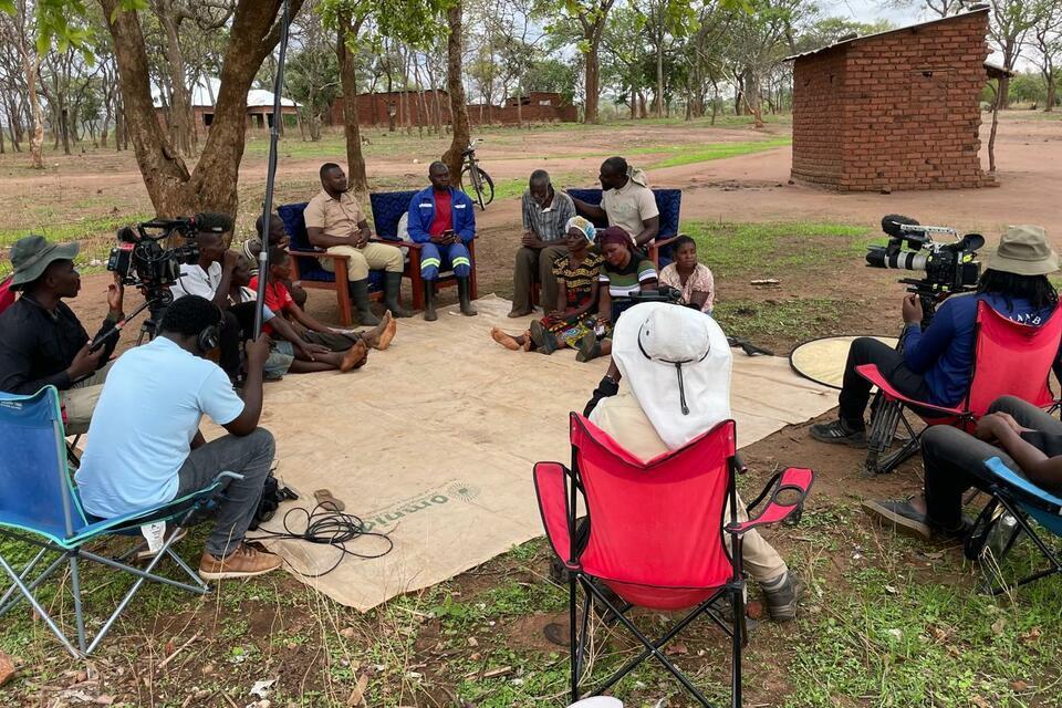
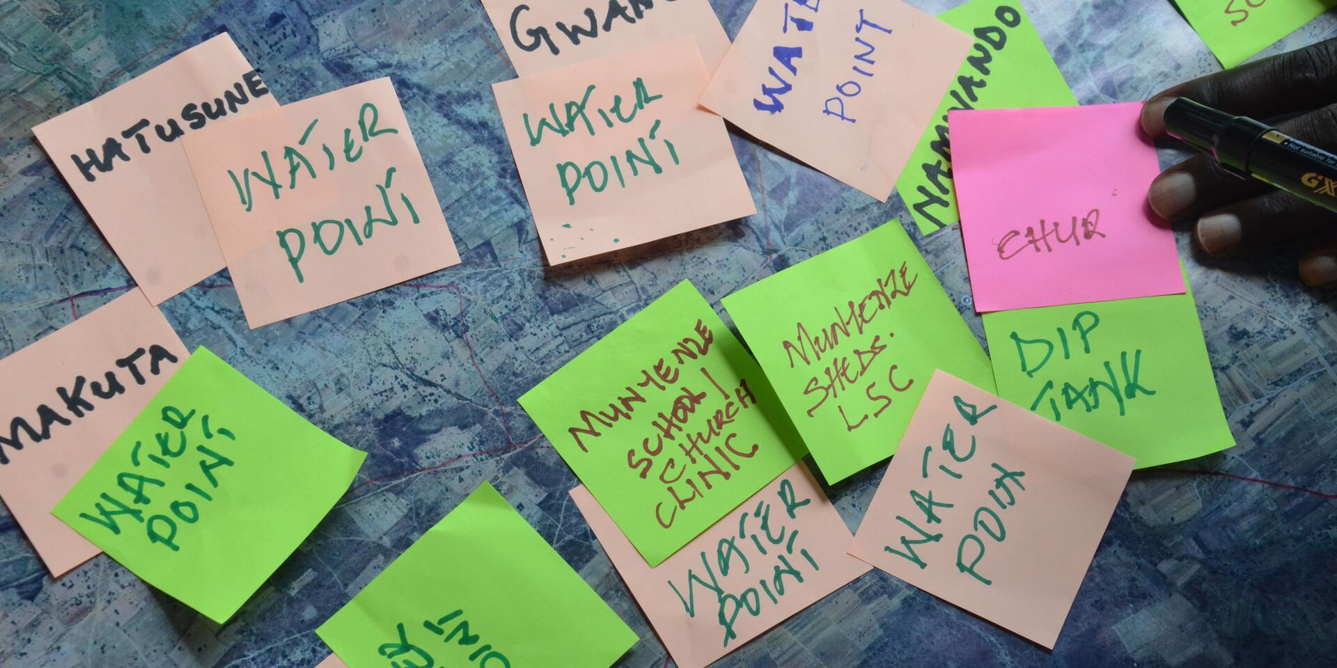
Day Three was the day the maps changed form. With a projection of Google Maps on the wall and participants gathered around screens, the Alliance technical team worked directly alongside the herdsmen and headmen to transfer what was on the flip charts into a georeferenced digital record. It was painstaking, collaborative work. Every paddock boundary needed to be confirmed. Every water point needed a location. Participants who had drawn the maps now guided the digitisation process pointing, correcting, confirming.
Slowly, the landscape they had always known began to appear in a new form: clean digital polygons, precisely located points, boundary lines that would endure beyond any individual's memory.
Day four: The map meets the land
The final day brought the process full circle. Teams from Solidaridad and Alliance, accompanied by community members, went into the field to ground-truth the digital maps. It was, in the words of the facilitators, the moment when everything became real.
The large Acacia tree that had stood as a boundary marker on the hand-drawn map was suddenly there, casting real shade.
Roads that had been lines on paper now stretched across the green landscape in every direction. Water points that had been dots on a screen were now visible, physical features in a living environment. The accuracy of what the communities had produced entirely from memory and lived experience was striking.
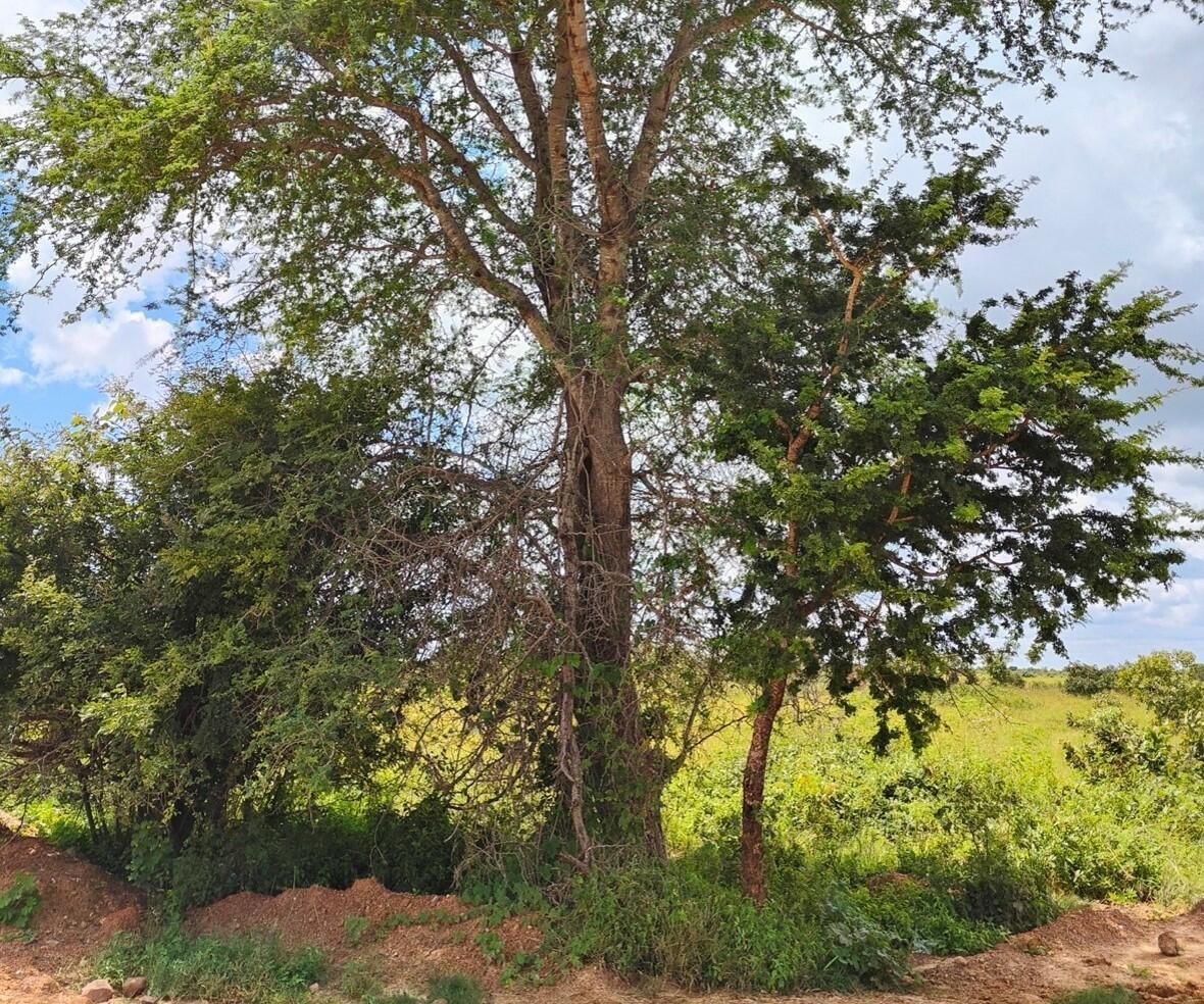
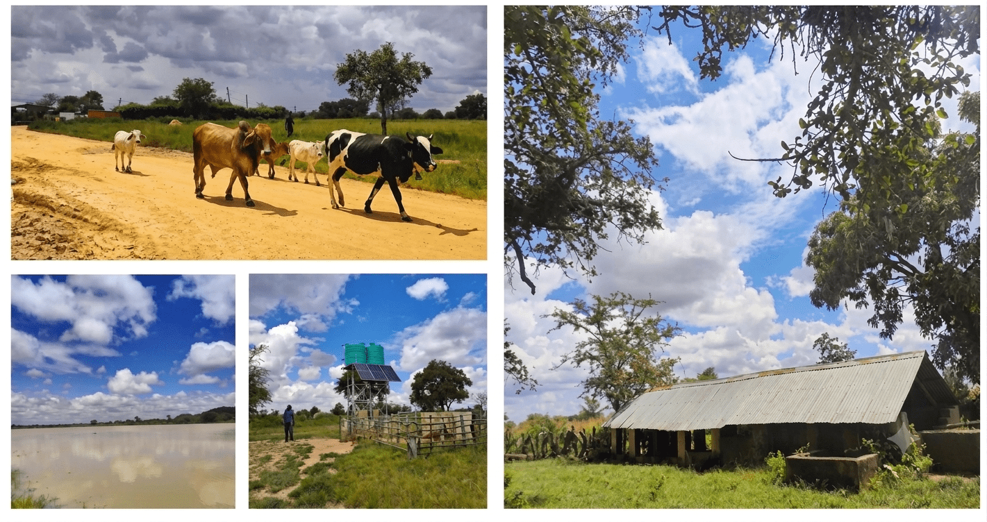
For the project team, this was also a moment of quiet recognition. The depth of ecological knowledge carried by these communities accumulated over generations and refined by decades of practical experience was not just an asset to be documented. It was the foundation on which any meaningful adaptation to climate change would have to be built.
What the maps will do next
The digital maps created during this process are not an end in themselves. They are a starting point. In the coming months, the paddock boundaries and landscape features captured during the workshop will be overlaid with the satellite-derived indicator of pasture quality that the Alliance team has been developing for Monze District. The result will be a dynamic planning tool: one that shows not just where the paddocks are, but how the quality of pasture within them changes through the seasons, from the green abundance of the wet season to the lean stretch of the dry.
Armed with this information, communities with support from Solidaridad and Alliance will be able to develop rotational grazing plans that maximise efficiency while reducing pressure on the adjacent protected areas. The maps will also support future infrastructure planning: identifying where new water points or dip tanks are most needed and making the case to government and funders with georeferenced precision.
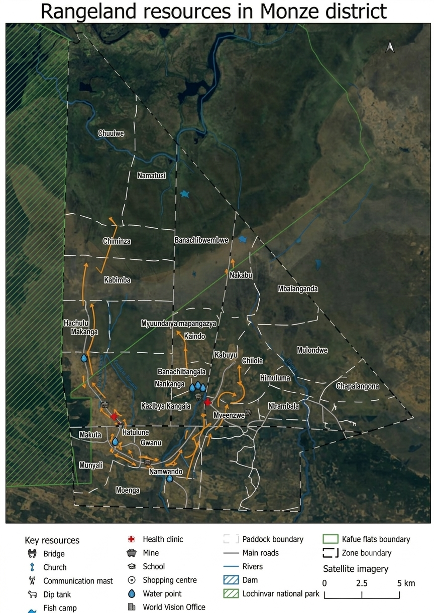
Draft digital maps showing grazing zones and paddock polygons, water points, and other features.
About this work
The participatory mapping process is part of the Soil Health and Water Accelerator project, a two-year initiative (September 2025–June 2027) implemented across Central, Eastern, and Southern Provinces of Zambia. The project is funded by the International Water Management Institute (IWMI) and jointly implemented by Solidaridad Zambia and the Alliance of Bioversity International and CIAT (Alliance).
This work supports CGIAR's Climate Action Program, contributing directly to its goals of scaling digital climate advisory services and strengthening locally led adaptation across sub-Saharan Africa.