Blog A Map to Understand Cadmium Variability in Andean Cacao Soils and Beans

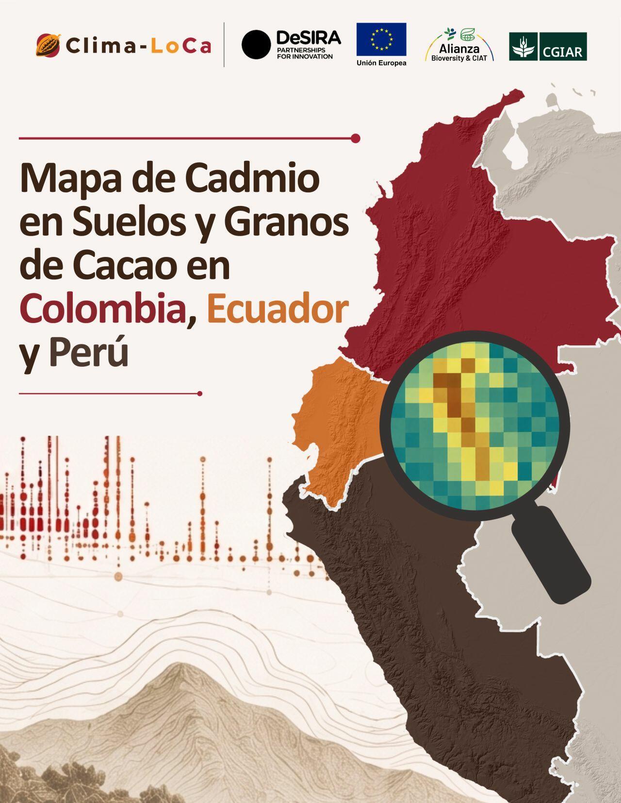
The Clima-LoCa project launched a map of cadmium levels in cacao-growing soils and cacao beans across Colombia, Ecuador, and Peru. Developed through a regional partnership, the tool helps users understand cadmium variability and informs decision-making across the cacao sector.
In the cacao-growing regions of Colombia, Ecuador, and Peru, cadmium has become an increasingly familiar term. For many farming families, it has also become a real concern: a laboratory result can influence their ability to sell their cacao, access higher-value markets, or maintain commercial relationships built over many years. The Clima-LoCa project was established with support from the European Commission (EC) and its DeSIRA platform, specifically to address this challenge by promoting low-cadmium, climate-relevant innovations that strengthen the resilience and inclusiveness of cacao value chains across the three Andean countries.
Clima-LoCa has worked through an interdisciplinary approach that integrates soil and climate, cacao genetics, socioeconomics, dissemination, and decision-making support. This combination is essential because the presence and socioeconomic impacts of cadmium in cacao beans do not depend on a single variable—nor do the solutions. Its accumulation is associated with soil characteristics, genetic material, and climatic conditions, while the impacts on producers’ and exporters’ incomes also depend on the final product and its market. Therefore, solutions require technical information, dialogue with producers, and coordination among supply chain stakeholders, as well as actions by decision-makers regarding planning policies and mitigation measures.
In this context, on June 17, Clima-LoCa held the virtual launch of the Map of Cadmium in Cacao Soils and Beans in Colombia, Ecuador, and Peru, a product that synthesizes years of field sampling, data modeling, capacity building, and regional collaboration across the three countries. The event introduced a tool designed to better understand the spatial variability of cadmium in cacao-growing regions and to spark discussions on how to use that information to make better decisions in the field, within local organizations, in the industry, and in public institutions.
The map comes at a critical time for the region. Cadmium is a heavy metal that occurs naturally in the Earth's crust and, under certain soil conditions, can be absorbed in larger quantities by cacao plants and accumulate in the beans. Its presence in cacao-derived products has led to regulatory limits in international markets, including the European Union, with the aim of protecting consumer health. For producing countries, these regulations pose an additional challenge: maintaining the recognized quality of their cocoa, protecting rural incomes, and moving toward more resilient and sustainable production systems.
The map’s significance lies in its ability to address a complex question: where is the risk concentrated, what factors might help explain it, and what would be the most effective mitigation strategies for different regional contexts. Rather than treating cadmium as a uniform problem, the tool allows users to observe differences between regions, correlate information on soil and bean properties, and support spatial analyses of the environmental conditions that influence the accumulation of the metal. This site-specific information is essential for guiding mitigation strategies, identifying areas with greater exposure to safety regulations, and strengthening land-use planning.
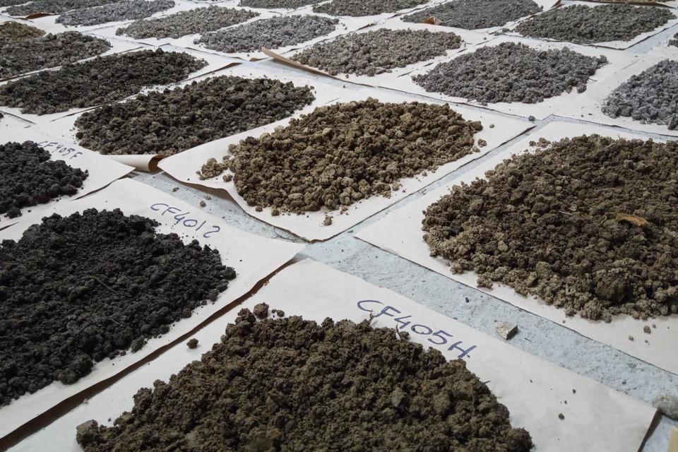
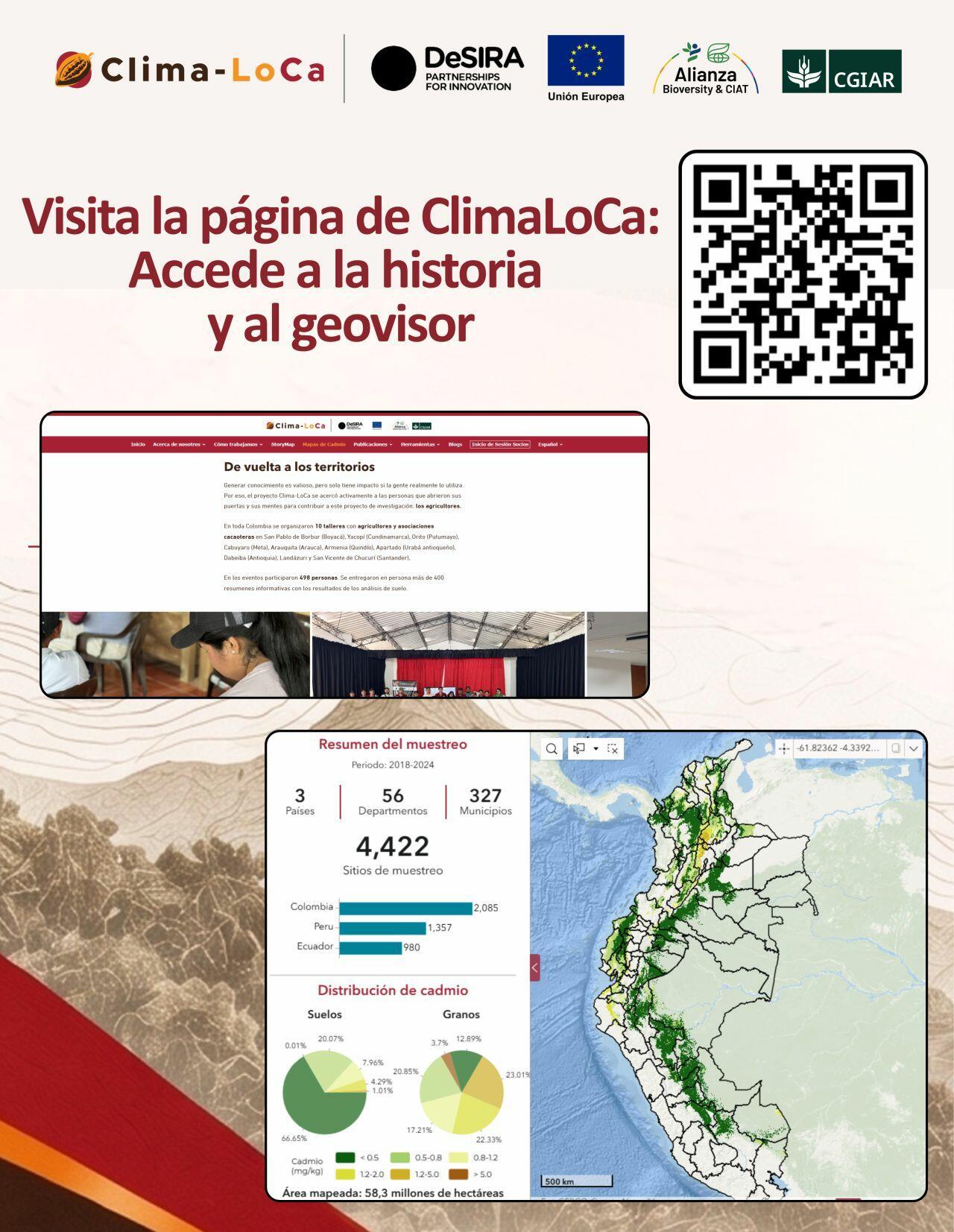
Behind the application lies a research history that combined fieldwork, laboratory analytical capabilities, statistical models, and artificial intelligence—known as “digital soil mapping.” There is also a network of people and institutions that contributed data, expertise, and local knowledge so that the information could be transformed into a useful tool. Clima-LoCa has highlighted that the application allows users to explore the spatial variability of cadmium in cacao soils and beans and to understand the scientific process that made its development possible.
That process also strengthened national capacities in digital soil mapping. The initiative was led by the Alliance of Bioversity International and CIAT and involved institutions from Colombia, Ecuador, and Peru, including the Agustín Codazzi Geographic Institute (Instituto Geográfico Agustín Codazzi), the Colombian Geological Service (Servicio Geológico Colombiano), the Ministry of Agriculture, Livestock, and Fisheries of Ecuador, ESPOL, and Peru's National Institute for Agrarian Innovation (INIA). This regional collaboration made it possible to bring together different perspectives on a shared challenge and move toward a deeper understanding of cadmium behavior in cacao-growing regions.
The launch of the map also serves as a reminder that science becomes more valuable when it can be used by decision-makers. For a farmer, having information about cadmium can help them better understand their farm, discuss issues with technical experts, and evaluate management practices. For a cacao-sector organization, it can help plan sampling, guide technical assistance, and strengthen marketing processes. For a public institution, it can help design policies, prioritize land-use planning, and promote evidence-based interventions. In all cases, the map transforms scattered data into a shared understanding of the territory.
During the launch, a panel discussion was held with various experts from the sector, including representatives from Peru’s Ministry of Agriculture, Ecuador’s Ministry of Agriculture, the Colombian Geological Service, ESPOL, and the Agustín Codazzi Geographic Institute. One of the main points of consensus was the importance of continuing to strengthen collaboration and the exchange of information among institutions within and between countries. The panelists emphasized the importance of access to this type of information, which enables the generation of knowledge accessible to all and helps strengthen decision-making at various institutional levels.
They also highlighted that each institution contributes specific capabilities and strengths which, when integrated, make it possible to continue developing models and tools that are useful for a range of planning and decision-making processes.
Another key aspect highlighted by the participants was the value of the information for territorial planning and risk management in production chains, as well as its contribution to the development of knowledge and training for both students and professionals involved in the sector.
The map does not end the conversation about cadmium in cacao; it expands it. By highlighting the variability of the problem, it also helps identify where new research, better management strategies, and greater support efforts are needed. The tool provides a foundation for countries to move forward with greater precision and better-informed decisions, avoiding one-size-fits-all responses to diverse territorial realities. In a region where cacao sustains local economies, productive identities, and rural development opportunities, that precision can make a tangible difference.
With this launch, Clima-LoCa delivers more than just a technical product. It offers a way to view Andean cacao with more information, greater cooperation, and a better ability to anticipate challenges. At every point on the map there is data, but there are also farms, families, organizations, technicians, companies, and researchers who have worked to ensure that cadmium ceases to be an invisible barrier and becomes a variable that can be understood, managed, and addressed collectively.
More information: Cadmium Maps | ClimaLoCa
Related content