Blog Surviving drought with better data: Ethiopian pastoralists use a digital monitoring system to avoid crisis
Can better data help pastoralists stay ahead of drought? In Ethiopia’s rangelands, a digital monitoring system is helping communities, researchers, and local authorities track water and pasture conditions before crisis strikes.
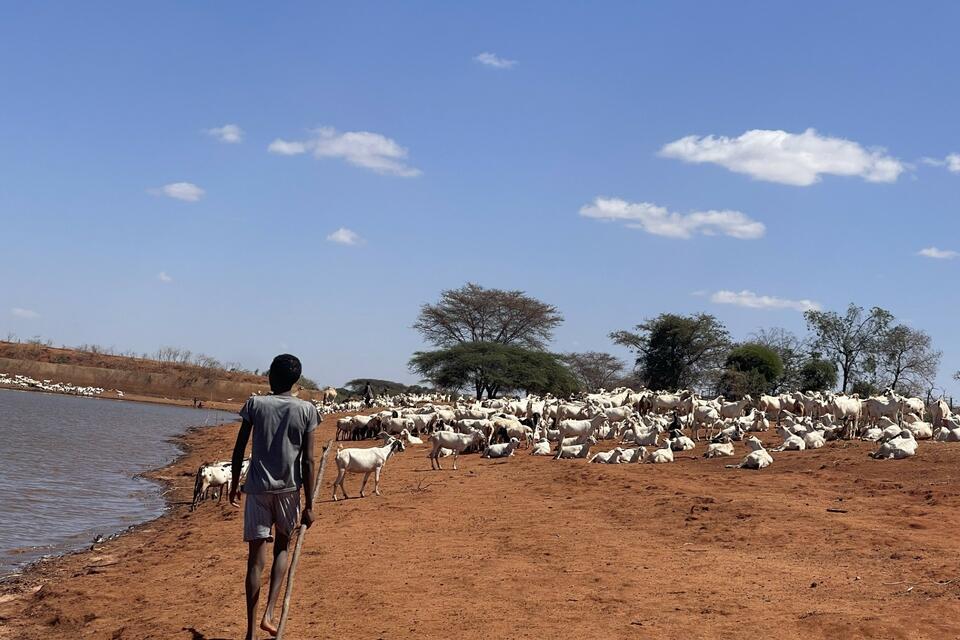
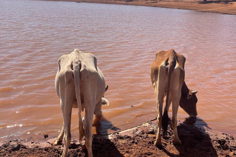
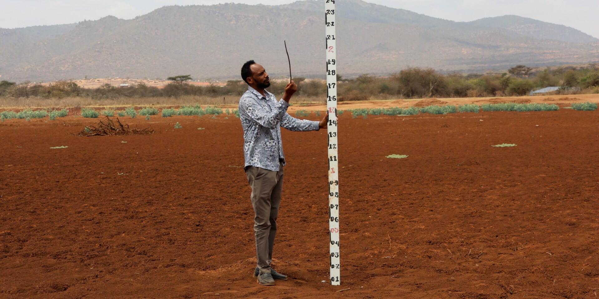
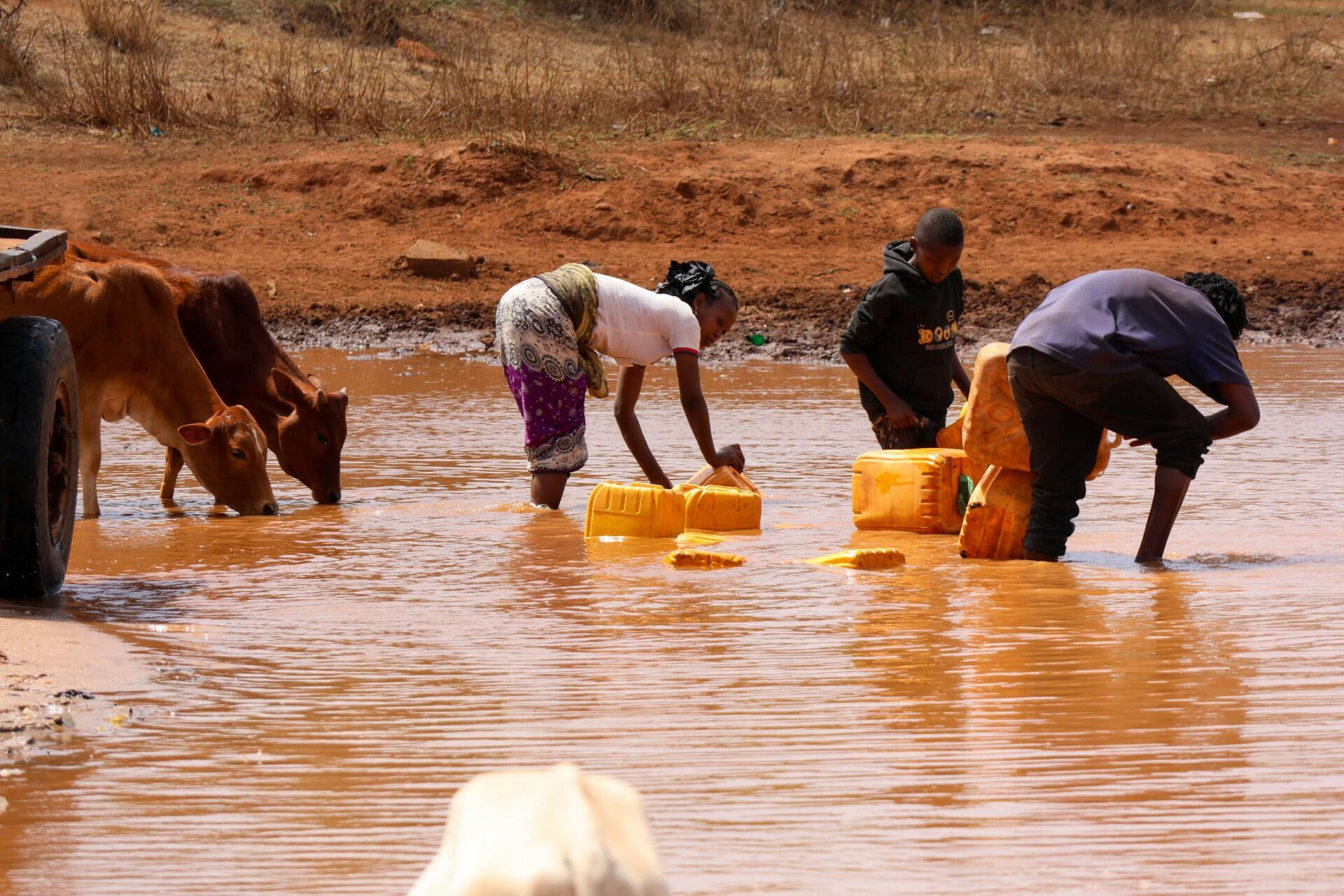
Across Ethiopia’s pastoral landscapes, livestock production hinges on two fragile resources: water and pasture. When either of these gets scarce, pastoralists face cascading risks that threaten both livelihoods and regional food security. With climate variability intensifying in recent decades, drought return time become more frequent and severe, depleting water points, reducing pasture, and impacting livestock productivity. In these circumstances, timely, reliable information can bring proactive risk management into practice before it pose crises.
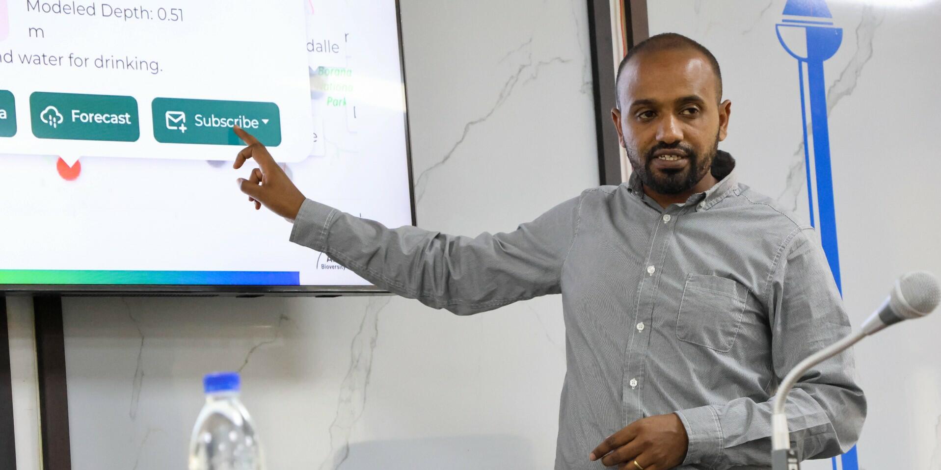
Recognizing this urgent need, the Alliance of Bioversity International and CIAT worked with the Ethiopian Institute of Agricultural Research (EIAR) to co-develop and operationalize the National Rangeland Monitoring System. This digital platform, which is integrated into Ethiopia’s national infrastructure, strengthens climate risk management in pastoral areas by combining field observations (such as the daily hydrological observation record) with climate forecasts and satellite data for early preparedness.
Olika Dessalegn, an Agrometeorologist at EIAR, emphasizes the system’s practical impact:
“The monitoring system integrates data from the field with satellite information to provide a clearer picture of rangeland conditions. This helps decision makers and communities respond earlier to emerging risks.”
The platform produces daily monitoring updates, monthly situation bulletins, and seasonal climate advisory bulletins, complemented by Community Information Centers (CICs) and SMS alerts to ensure accessibility of the advisory to the community. Yet as he further points out,
“Our role is to ensure that the information collected in the field becomes useful knowledge that supports pastoralists and strengthens resilience across the region.”
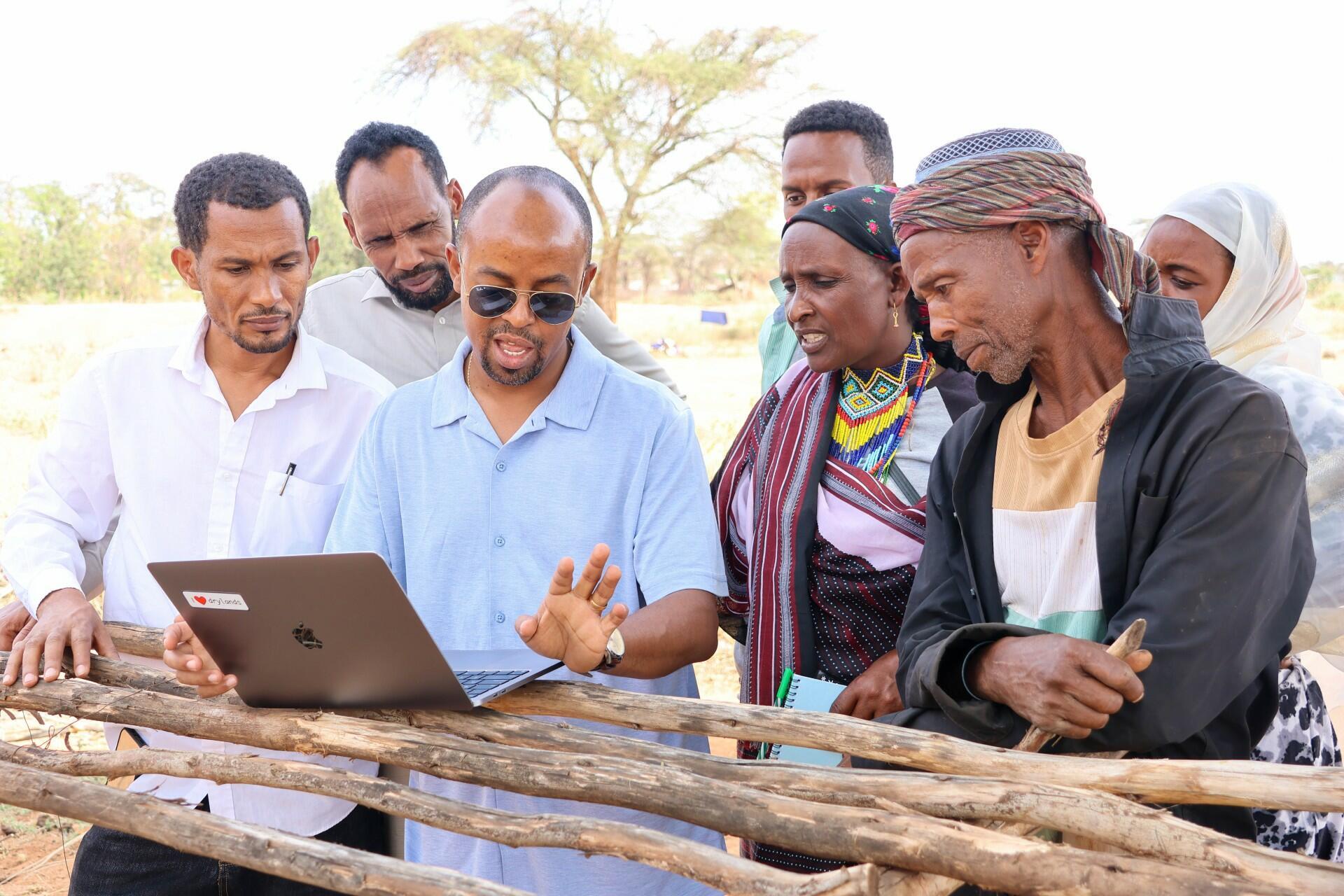
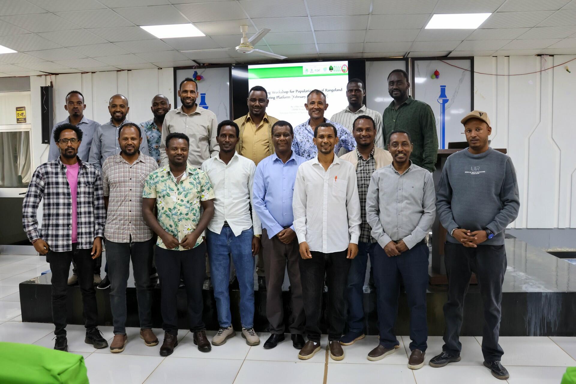
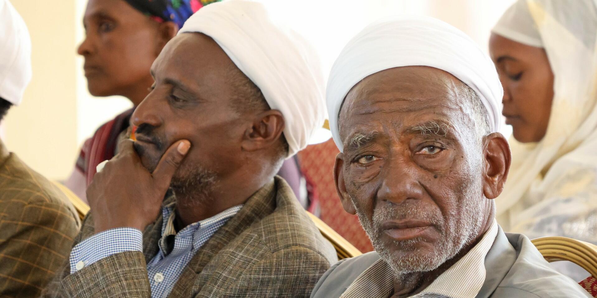
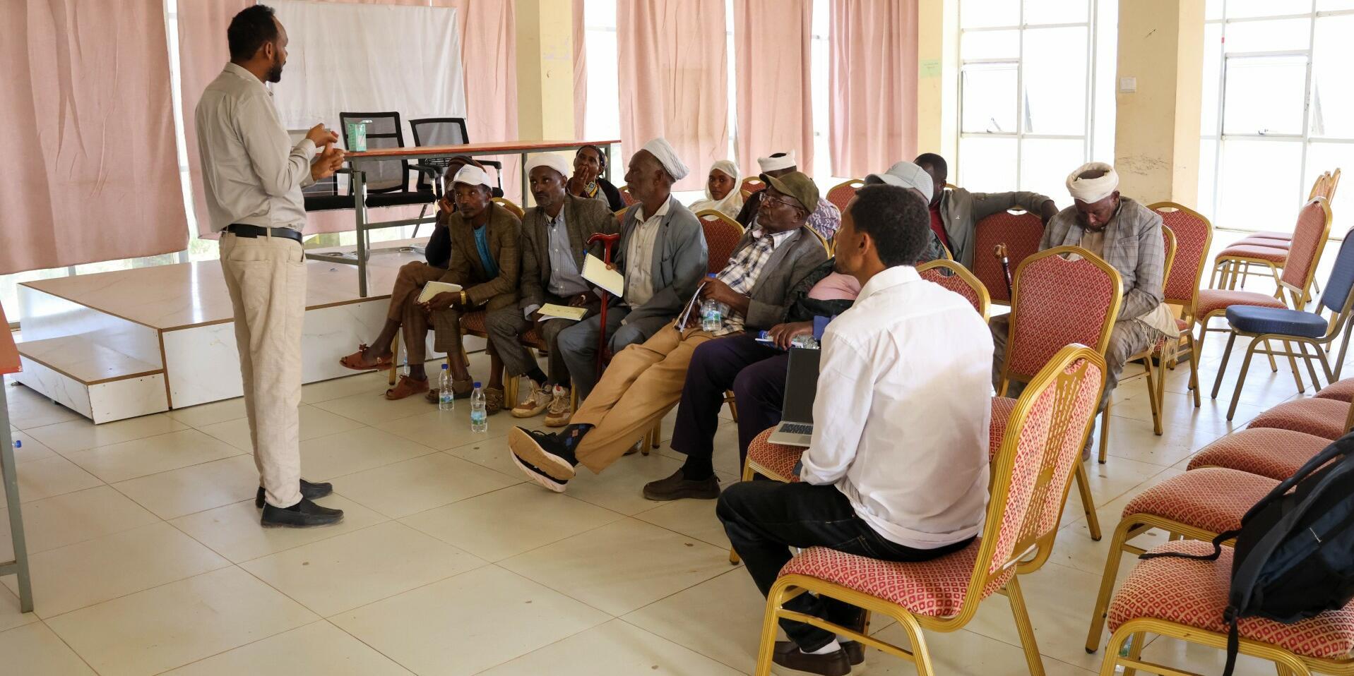
To translate the platform into tangible improvements in pastoral livelihoods, the project team brought together institutional actors, researchers, and local leaders, in a two-day capacity building workshop in Yabello, Borena. Day one focused on strengthening understanding among intermediary institutions, water offices, pasture management departments, disaster risk management offices, finance and agriculture units, as well as research institutions such as Borena University and Yabello Pastoral and Dryland Agricultural Research Center. The local development partners joined to determine how their activities could utilize the platform for climate risk management.
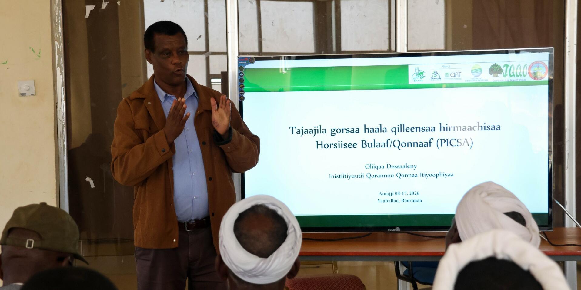
The first day focused on technical demonstration. As Jatani, Early Warning System Coordinator at CIMA, explained:
“What makes this initiative unique is that it is user centered from the base. The information we generate is not just for research, but it is designed to reach pastoralists directly and help them make reasonable decision on resources including where and when to move their animals.”
By clarifying institutional roles and demonstrating how the system can integrate into planning and response processes, the workshop laid the foundation for coordinated action across agencies responsible for water and pasture management.
Day two focused on community leaders and elders who govern rangeland resources at the woreda level. Their decisions determine how water points are managed, where livestock graze, and when seasonal movements occur, all these are choices that have immediate consequences for pastoral livelihoods. Through structured thematic sessions, facilitators demonstrated how the platform can guide daily operational decisions, support seasonal planning, and strengthen sustainability by embedding information use into local governance systems.
The feedback from participants underscored the transformative potential of the system. A local DRM officer in Yabello reflected:
“The system strengthens our ability to monitor drought conditions and respond quickly. When we see changes in water availability or pasture conditions, we can alert communities earlier.” Similarly, a village elder noted: “Before, we relied mostly on experience and traditional knowledge to decide where to move our livestock. Now we also have information that helps us understand what is happening across the rangeland. This knowledge helps protect our livestock, which are the foundation of our lives.”
Researchers also highlighted the dual value of the platform for science and practice. Wakala Gababo explained:
“Reliable information about water points and pasture conditions is critical for both scientific analysis and practical decision making in pastoral systems. The data generated through this platform allows us to connect research with real world solutions that benefit pastoral communities.”
By linking empirical observation with local decision-making, the system creates a feedback loop where science informs action, and community experience informs ongoing research.
Sintayehu Workeneh Dejene, Research Management Coordinator at the Alliance, framed the broader vision:
“Pastoral livelihoods depend on timely information about water and pasture. With this monitoring system, we are strengthening the ability of communities and institutions to anticipate risks and respond before crises escalate.” He emphasized that collaboration is central to success: “This initiative shows the power of collaboration. The Alliance worked closely with the EIAR, government ministries, and local institutions to develop a system that responds to the real needs of pastoral communities.”
The system’s innovation lies in its integration of multiple data streams from field observations to satellite imagery, and its translation into actionable insights. Sintayehu adds:
“What makes this system transformative is that it brings together multiple sources of information and translates them into practical insights for pastoralists and decision makers. Our goal is not only to monitor rangeland and water conditions, but also to ensure that this information reaches the people who need it most. By strengthening coordination across institutions, we can expand the system’s impact across pastoral areas.”

Sintayehu Workeneh Dejene
Research Management Coordinator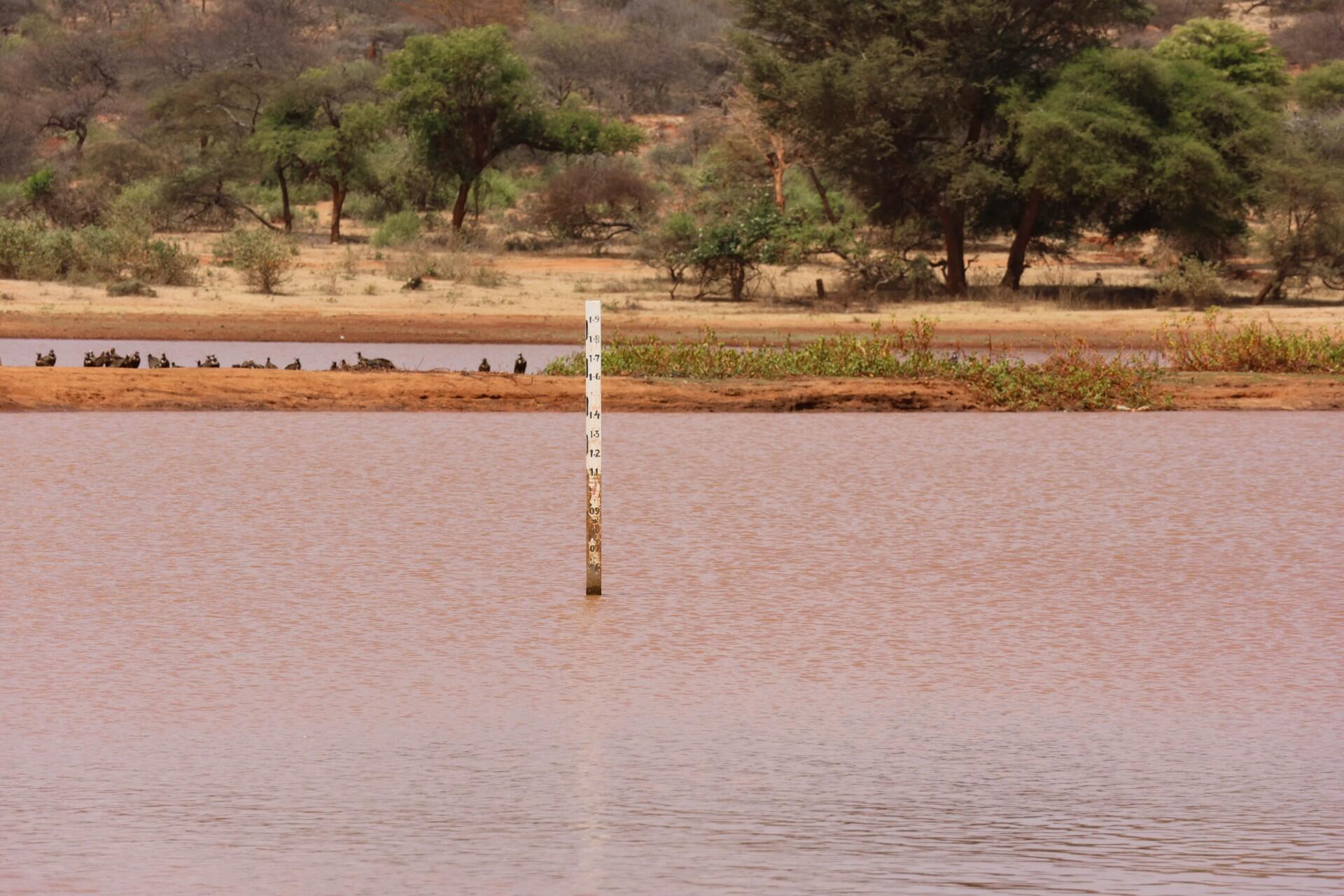
Ultimately, the workshop and the platform it highlighted are part of a broader effort to turn climate information into practical resilience. As Jatani notes:
“When pastoralists have access to reliable information about water and pasture, they reduce risk. Instead of reacting to drought, they can anticipate it.” Sintayehu echoes this point: “Access to reliable information allows pastoral communities to plan ahead, reduce uncertainty, and protect their livestock and livelihoods in the face of increasing climate variability.”
By centering local leaders, integrating institutional actors, and embedding data into decision making, the strengthening climate risk management in pastoral areas through digital innovation system demonstrates how digital tools, when combined with community engagement and institutional coordination, can move from concept to impact, protecting both livestock and the people whose lives depend on them.