
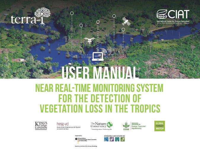
Terra – I
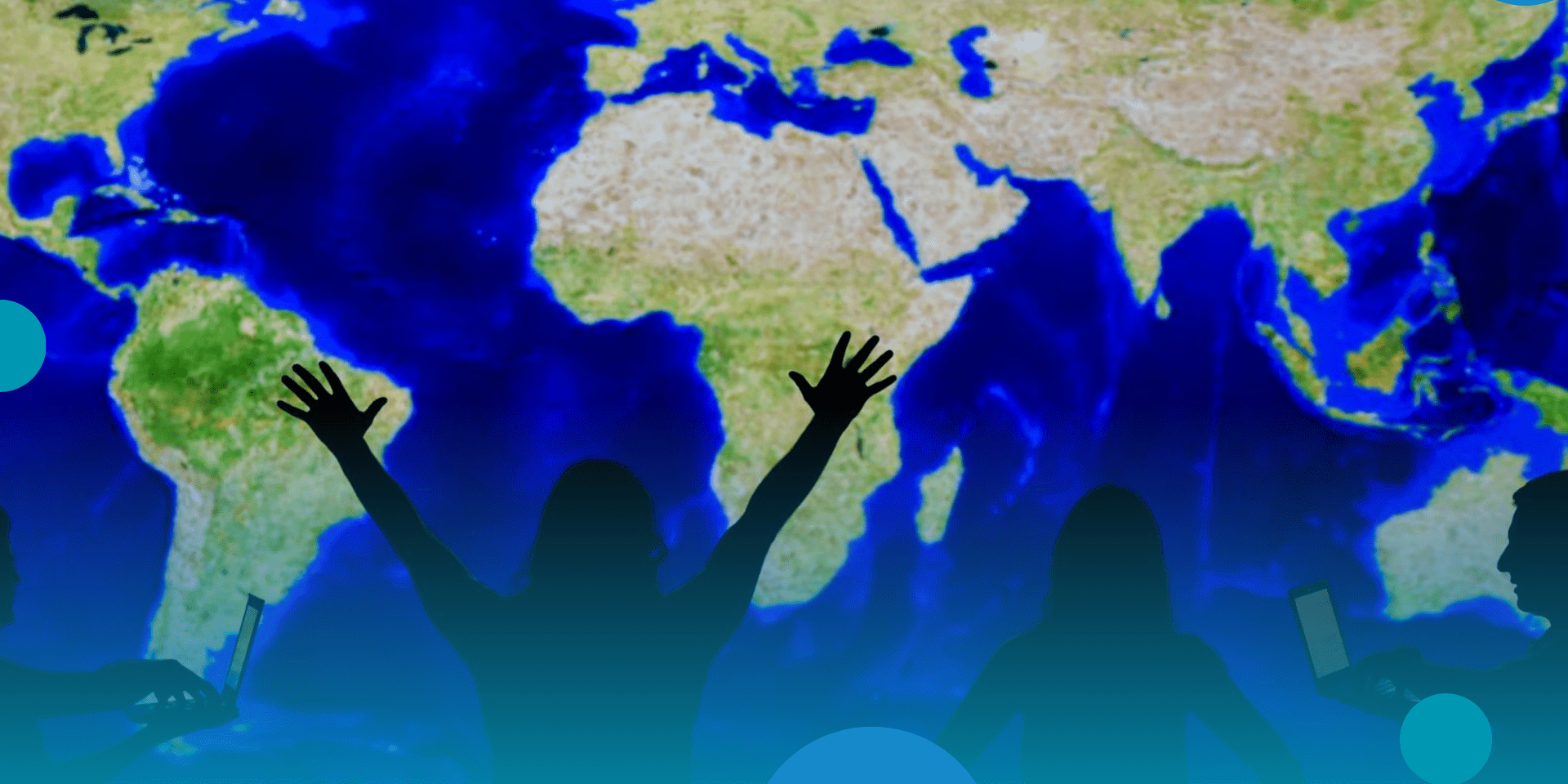
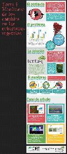
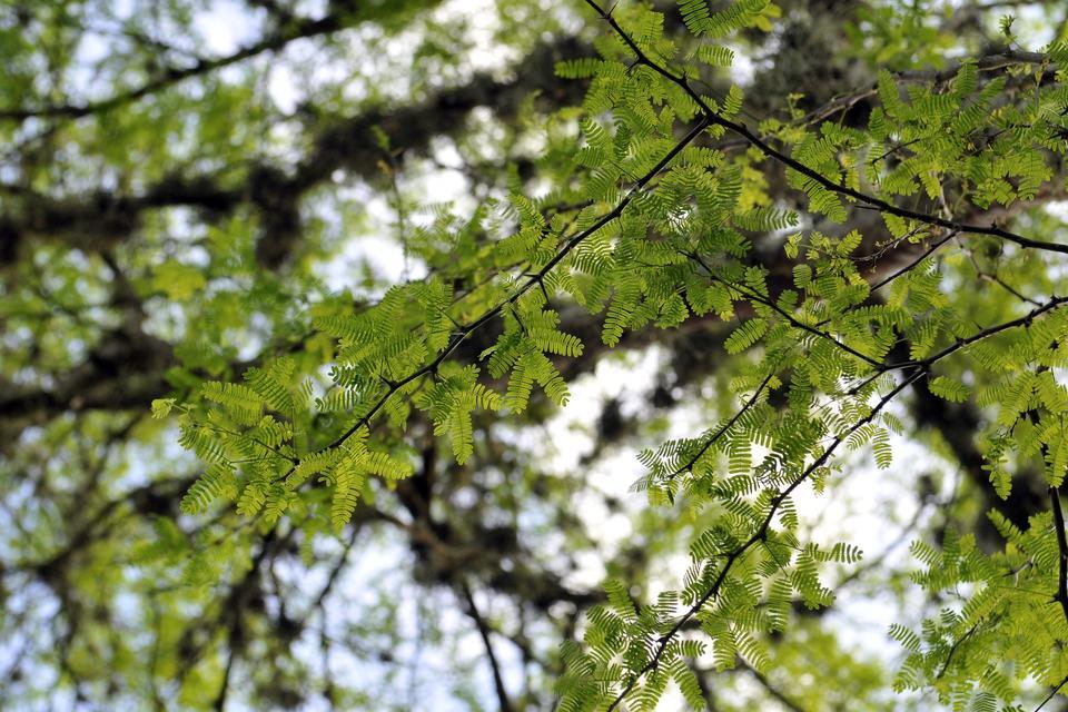
Terra-i is a near-real-time environmental monitoring system that detects and reports land-cover change and forest loss across the tropics using satellite imagery and machine-learning models. Developed by the Alliance of Bioversity International and CIAT, the platform has evolved from MODIS (250 m) to higher-resolution Sentinel imagery (10 m), enabling more precise and timely alerts to support conservation efforts, governance, and policy enforcement.
The platform integrates automated detection with institutional workflows and public dashboards, allowing users to visualize, analyze, and validate deforestation dynamics. Terra-i supports the full research-to-impact pathway, from data generation and model calibration to capacity building and decision-making.
In what context is this tool useful?
Terra-i is used by governments, NGOs, and researchers for proactive forest monitoring and enforcement. It strengthens institutional capacity and promotes sustainable land-use decisions, contributing to global deforestation-reduction goals.
Terra-i tool is useful to identify land-cover changes resulting from human activities and make use of data at different levels. Stakeholders can use this information to carry out natural resource management actions and create synergies between national and local institutions for protection and conservation, as well as improve the governance processes of natural resources at the local, municipal, and national levels.
Results achieved
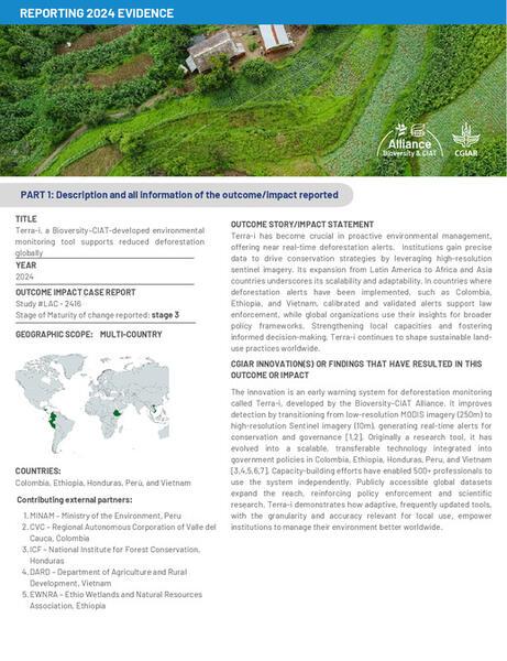
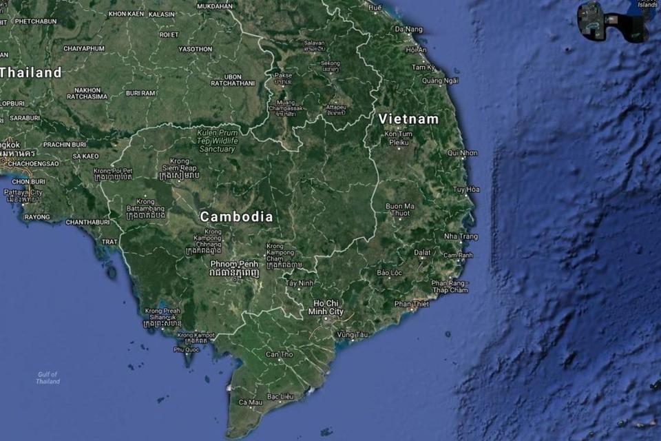
Implemented in Colombia, Peru, Honduras, Vietnam, and Ethiopia, enabling integration of deforestation alerts into national and regional monitoring systems.
Over 500 professionals trained in GIS and remote-sensing monitoring.
Used by agencies such as CVC (Colombia), MINAM (Peru), ICF (Honduras), UN-REDD (Vietnam), and EWNRA (Ethiopia).
Variations, scaling and adaptations
The system has been implemented in several countries and regions.
The advantage of the tool is its ease of installation and configuration, as it is created with free software, it can be implemented quickly with minimal computational requirements.
A manual has been written for the tool so that it can be used in any geographical area.
Variations
This version is related to Satellite based solution for Agroforestry Supply Chain Sustainability https://www.terra-iplus.org/
Contact us
Jhon Jairo Tello
Senior Analyst
Jorge Andres Perez Escobar
Research AssociateTERRA-I Perú y el análisis de los cambios de uso en el territorio -- Ucayali, Perú
Terra-i Honduras: La herramienta de monitoreo de cobertura forestal
LA APP PARA GANARLE A LA DEFORESTACIÓN
Publications


More publications
- Road Impact Assessment Using Remote Sensing Methodology for Monitoring Land-Use…
- Land use Status and Trends in Amazonia
- A methodology for near real-time monitoring of habitat change at continental sc…
- Reporte de la validación en campo del Sistema Terra-i (CIAT) en las comunidades…
- Terra-i + Using machine learning to manage impacts of coffee production in Ocot…
- Segunda fase de implementación del sistema Terra-i en el Valle del Cauca, para …
- REDD en el Amazonas: Herramientas y Metodologías para Tomar Decisiones
- Herramientas y Métodos para la Planeación y Toma de Decisiones en Agricultura y…
- Validation of the Terra-I Forest Loss Detection
- Terra-i, herramienta clave para los paisajes sostenibles en la Amazonía
- Terra-I: Capturing Forest Changes In Viet Nam Through An Almost Real Time Monit…
- Opportunities for improving conservation early warning and alert systems
- Has global deforestation accelerated due to the COVID-19 pandemic?
- https://linkinghub.elsevier.com/retrieve/pii/S0143622817310779
- Global Meat Consumption Trends and Local Deforestation in Madre de Dios: Assess…
Updates
Research leaders
Louis Reymondin
Senior ScientistFunders
Terra-i es una colaboración desarrollada por la Alianza de Bioversity International y el CIAT, junto con el Programa de Investigación de CGIAR sobre Bosques, Árboles y Agroforestería (FTA), The Nature Conservancy (TNC, una organización ambiental global), la Escuela de Negocios e Ingeniería (HEIG-VD, con sede en Suiza) y el King’s College London (KCL, con sede en el Reino Unido).