Terra-i user manual for monitoring land-cover changes is now available
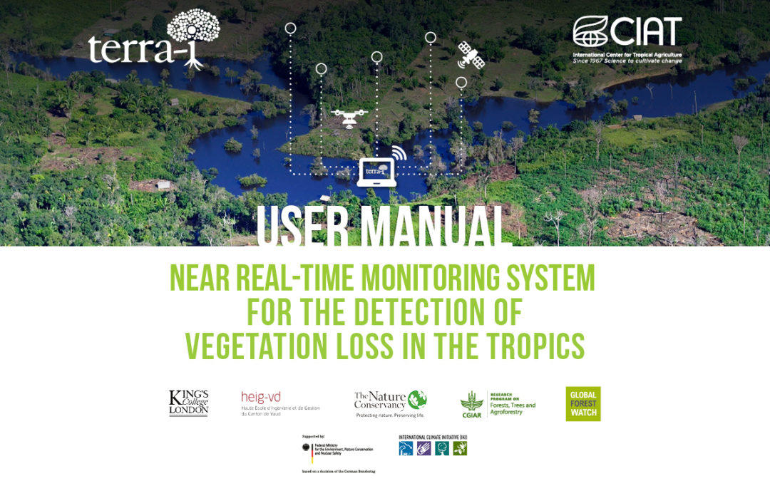
Terra-i, a project by CIAT’s Decision and Policy Analysis (DAPA) and Agroecosystems and Sustainable Landscapes (ASL) research areas, presents its “User manual – Near real-time monitoring system for the detection of vegetation loss in the tropics.”
By: Paula A. Paz and Jhon Jairo Tello
The manual is a technical guide that explains step by step the process to use satellite information to issue early warnings on land-cover changes. It is freely available for download, and is targeted to technicians involved in mapping deforestation and land-use changes, interested in the applicability of the resulting data in a range of fields, such as identification of areas of interest for implementing REDD+ projects, capacity strengthening for protected areas management, surveillance of micro watersheds, impact analysis of environmental policies, among other applications. All of this aimed at contributing to forest preservation and management.
The Terra-i tool enables stakeholders to use the data at different levels to take action in natural resource management and create synergies between national and local institutions for protecting and conserving natural resources, as well as enhancing related governance processes, at national and subnational scales.
The manual was prepared within the framework of an inter-institutional cooperation agreement between the Peruvian Ministry of Environment (MINAM) and the International Center for Tropical Agriculture (CIAT), and was used originally in Spanish for a series of training sessions with the aim of implementing an early warning system in Peru. Likewise, the training material has been used to build capacity among technicians in Colombia and Honduras, and other stakeholders interested in forest monitoring.
The Terra-i manual provides instructions to use the system from the software installation to the mapping of vegetation loss every 16 days and generation of statistical analysis of the rate of land-cover change. It also includes a detailed methodology and codes used by CIAT researchers for monthly updating the early warnings on land-cover change in the tropics (Latin America, Asia, Africa, and Oceania). The manual comprises the following six chapters:

“The Terra-i manual is an important guide to help the users who have shown interest in the system to understand, in an easy, clear manner, how it operates and the processes carried out to issue warnings. Moreover, it is useful to clear up any doubts that may arise when processing information. For our team, it is important as well to have a manual to help us standardize the processes we carry out on a regular basis”
Jhon Jairo Tello DaguaTerra-i is a monitoring system that provides users with analysis of MODIS (NVDI) and TRMM (rainfall) images that forecast changes due to anthropic interventions, in near real time, at a 250 m resolution. It was first developed and rolled out in Latin America in 2012, and then made available to Asia, Africa, and Oceania in 2016. Since June 2012, Terra-i has data freely available for download at www.terra-i.org. Today, a map of vegetation loss is generated every 16 days and kept on record together with data from January 2004 until today, at pan-tropical level.
Terra-i.org is a free web-based tool that facilitates specialized information for sustainably harnessing and conserving natural resources and ecosystems.
As of today, the tool has been adopted and implemented by national and subnational governments in Peru, Colombia (Valle del Cauca department), Honduras, and Vietnam, joining efforts based also on their experience and local knowledge. The Terra-i team continues to develop and apply new machine learning and remote sensing methodologies to achieve higher spatial-temporal resolution. Those methodologies are being incorporated to build a more robust multi-level monitoring system for land-cover and land-use changes with the aim of delivering more accurate information, thus helping strengthen conservation law enforcement and improve transparency in forest monitoring across the tropics.
ACKNOWLEDGMENTS
Terra-i was developed in 2006 by the International Center for Tropical Agriculture (CIAT), in collaboration with The Nature Conservancy (TNC), the University of Applied Sciences of Western Switzerland (HEIG-VD), and King’s College London (KCL), with financial support from TNC, the CGIAR Research Program on Forests, Trees and Agroforestry (FTA), and Global Forest Watch (GFW). The Terra-i user manual was prepared under the Sustainable Amazonian Landscapes (SAL) project, which is part of the International Climate Initiative (IKI). The German Federal Ministry for the Environment, Nature Conservation and Nuclearsupports this initiative based on a decision adopted by the German Bundestag.