
Agua de Honduras
Agua de Honduras is a governmental data platform that provides communities with data on hydrology, vegetative cover, soil properties and water demand, along with future climate scenarios. The Agua de Honduras platform was designed to aid water management decisions at the level of microwatersheds, subwatersheds and entire watersheds – hydrographic delimitations generated and officially approved for Honduras in 2018 through the platform’s implementation.
A key element of the platform is AGRI (AGua para RIego, its Spanish name), a decision-making tool for identifying sites for irrigation and drinking water. The award-winning AGRI has attracted the attention of other international agencies such as the Food and Agriculture Organization of the United Nations (FAO) and the Caribbean Development Bank (CDB), which supported the expansion and migration of this novel tool to the whole of Central America, East Africa, and five countries in the Caribbean.
Agua de Honduras aims to benefit millions of Hondurans, by providing policymakers with information necessary to make smarter water investment decisions and improve water management.
In what context is this tool useful?
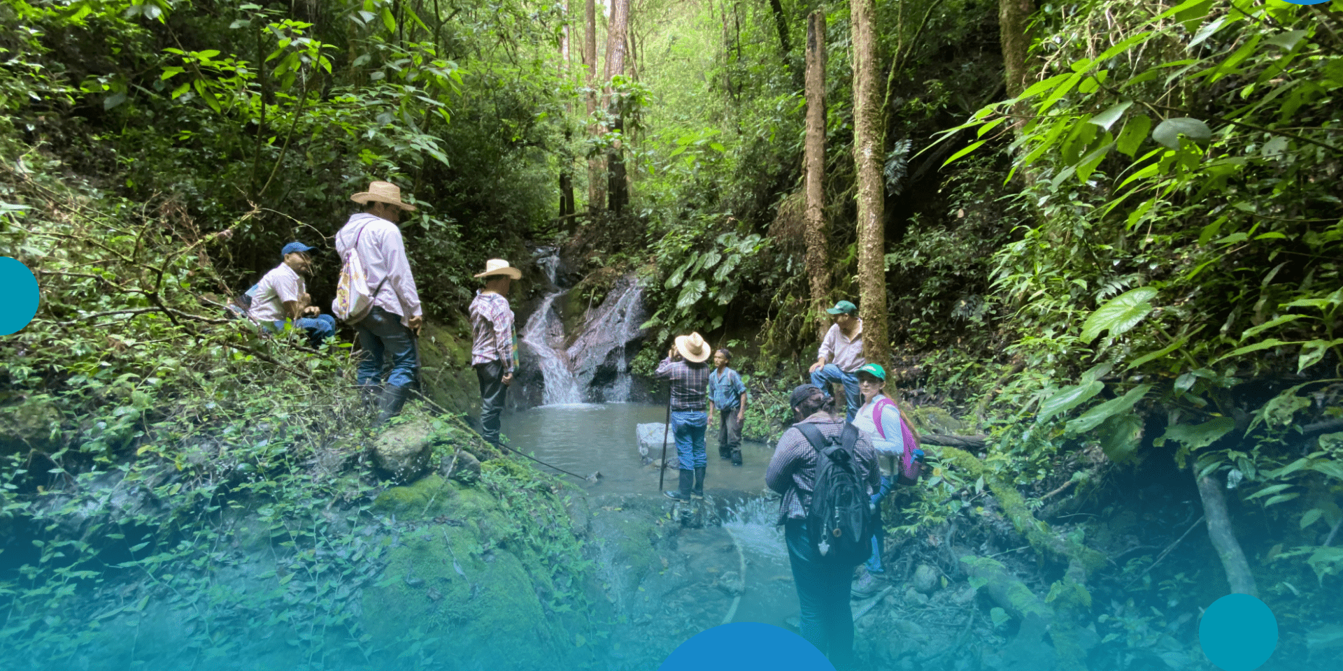
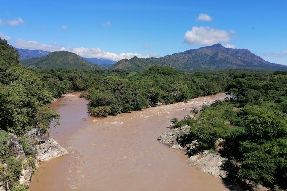
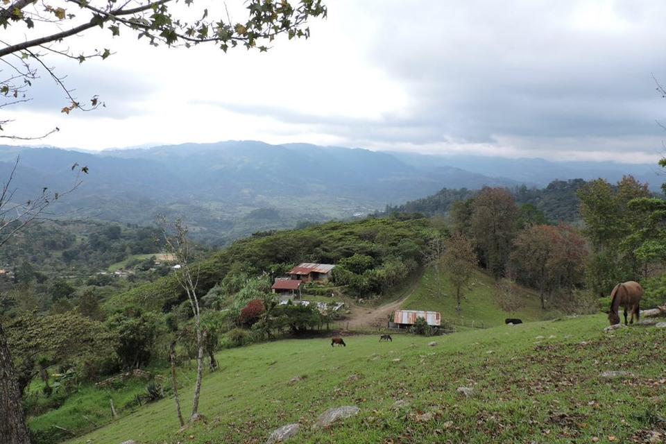
For the past decades, access to water resources has been one of the greatest challenges for economic and social development in some Central American countries, such as Honduras. Specifically, much of Western Honduras (the region where the platform was initially implemented) can be brutally dry, constraining most farmers to rainfed subsistence agriculture. With climate unpredictability, farmers and governments often lack the information needed to make the smartest water and agricultural investments.
These situations prompted a team of Alliance researchers to develop a digital technology named “Agua de Honduras” platform, aimed to enable technicians and decision makers from the local to national level to access water-related information, enter local data, obtain statistics, simulate scenarios, find new water resources and, most importantly, have all of this information readily available; supporting in turn municipal, governmental and international cooperation investments related to water conservation and improvement of access to water for smallholder farming and human consumption.
Results achieved
Developed through inter-institutional cooperation agreements with the Government of Honduras, the platform integrates scientific methodologies and digital technologies to provide comprehensive data on hydrography, climate, soils, vegetation cover, water demand and quality, and flooding—enabling informed decision-making.
Since its initial implementation in western Honduras in 2016 it has transformed national water resource management with backing from various international agencies and a total budget of approximately USD 3.4 million.
Currently, the platform covers 97% of Honduran territory —equivalent to 6,661 micro-watersheds—accessible through most tools that make up the Water Planning Support System. These tools have been adapted to the HydroBID water balance model, developed by RTI and funded by the IDB, which covers 52% of the national territory.
At the local level, the platform has been successfully implemented in about 67 micro-watersheds in partnership with local organizations and municipal governments.
One such organization has already used the platform to guide land acquisition decisions as a strategy to increase water availability for drinking water systems.
A significant achievement is the formal legalization of 110 watershed management councils, empowering local communities to actively participate in water governance.
This legalization is backed by Ministerial Agreement No. 0840-2019.
which recognizes the platform’s key role in policy development and decision-making.
Case Highlights
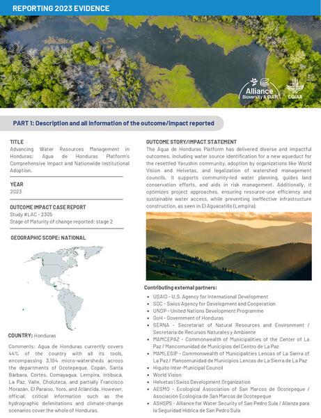
In Yarushin (Santa Rosa de Copán), a region severely affected by climate events, the platform identified the optimal water source for a new aqueduct that will benefit 1,080 people and support the community’s relocation.
Innovations like AGRI (AGua para RIego), the platform’s flagship tool, have optimized the identification of water sources in Tecomapa (Cololaca) and El Aguacatillo (Lempira), avoiding ineffective investments and ensuring sustainable access to water for 555 residents. Additionally, 537.09 hectares of land critical for groundwater recharge have been acquired.
Partnerships
Partnerships with the Ecological Association of San Marcos de Ocotepeque (AESMO) and the Commonwealth of Municipalities of Central La Paz (MAMCEPAZ) have extended the platform’s reach. AESMO included the platform in its 2022–2026 strategic plan, and MAMCEPAZ is implementing it in more micro-watersheds than originally planned—demonstrating the platform’s scalability and effectiveness in local water planning.
Thanks to workshops and outreach campaigns, registered users increased by 428% since February 2024, enhancing water management capacity.
Engagement and Capacity Strengthening
- 26 water quality kits distributed (as of Dec 2023), empowering local stakeholders.
- By December 2024 154 local organizations trained (116 remain active).
- 269 women and 524 men involved.
- Empowering local stakeholders.
- Fostering a culture of collaboration and knowledge sharing.
Enabling Policy and Disaster Preparedness.
Data contributed to the creation of the San Pedro Sula Water Fund.
Initial investment: USD 30,000 from ASHSPS (San Pedro Sula Water Security Alliance).
The platform guided the installation of a limnimetric station for flood monitoring.
Supported disaster risk planning and preparedness.
Other applications include:
Other impactful cases include World Vision’s use of the platform to efficiently identify water sources, and Guayabal’s Water Board (San José, La Paz) using it to analyze optimal routes for water distribution systems.
Finally, the adoption of the platform by SERNA as the country’s primary water planning system underscores its importance in promoting resilience and equitable development nationwide.
These achievements highlight the platform’s diverse value as a cornerstone of water management in Honduras, driving positive change for communities and ecosystems throughout the country.
Variations on this method
To expand the impact already made by the platform, new analyses and tools have been included, strengthening decision-making and helping address water management challenges:
1. Identification of Flood-Prone Areas
This allows the planning of crucial actions in the face of extreme events, such as those that occurred in 2020 (hurricanes Eta and Iota).
2. Flood Index for Micro-Watersheds
A flood index has been created for all micro-watersheds contained in the water planning system.
3. Integration of Planning Platforms
Integration between Agua de Honduras and Terra-i strengthens decision-making capacities.
4. Groundwater Module
A groundwater module was developed, with an initial pilot covering the Siguatepeque aquifer in Comayagua.
5. Adaptation of HydroBID Water Balance
HydroBID, developed by RTI and funded by the IADB, was adapted for 52% of the national territory. As a result, the platform’s water balance now covers 97% of the country.
Publications
More publications
- Agri, Better Land Purchase for Water Conservation
- Strengthening Community-Based Water Governance
- Transformando Vidas en las Montañas de Honduras
- Evaluación de la degradación ambiental y vulnerabilidad frente al cambio clim…
- Diplomado Plan de Acción Hídrica para la Microcuenca Chamalucuara
- Tesis de Pregrado: Planificación Hídrica Considerando Diferentes Escenarios d…
Datasets
- Official hydrographic delineations of Honduras
- 30-seconds (1 Km2) monthly, seasonal and annual gridded Historical Climate Surf…
- 30-seconds (1 Km2) gridded Future Climate Change Scenarios for Honduras
- Replication Data for: 4-km gridded historical and future scenarios for sea leve…
- 30 Arc-Second Historical and Future Scenario Climate Surfaces for Western Hondu…
- Digital mapping of soil properties in the Center and West of Honduras, Central …
- Digital mapping of soil properties in the West of Honduras, Central America
Additional Resources
Updates

Research leaders

Jefferson Valencia Gómez
Research Team LeaderFunders
Funding
The platform has been supported by:
USAID (Honduras | U.S. Agency for International Development)
SDC (Honduras | Swiss Agency for Development and Cooperation)
UNDP (United Nations Development Program), specifically for the generation of climate change scenarios
Partners
SERNA (Ministry of Natural Resources and Environment of Honduras)
DGRH (Dirección General de Recursos Hídricos)
The platform, a first of its kind, was developed within the frameworks of inter-institutional cooperation agreements between CIAT – now part of the Alliance of Bioversity International and CIAT – and the Government of Honduras through SERNA. It was funded by USAID, SDC, and UNDP (for climate change scenario development), with the participation of SERNA’s Climate Change Department.