
AGRI (AGua para RIego)
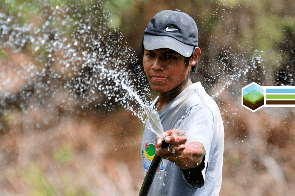
AGRI (AGua para RIego, its Spanish name) is an automated GIS tool to support greater precision and efficiency in identifying water sources, increasing the cost-effectiveness of irrigation for smallholder farmers, while also ensuring drinking water supplies for rural communities, to improve food security and income generation. AGRI integrates publicly available information on terrain, soil and climate with mathematical and hydrological models to identify water sources for small-scale irrigation.
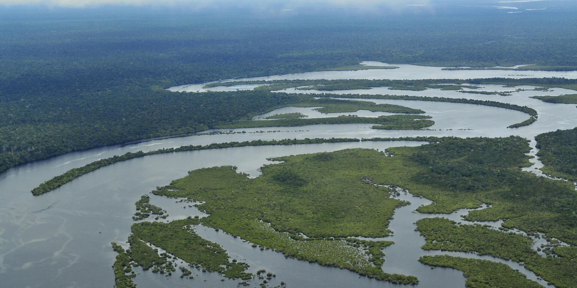
Starting at the plot to be irrigated, AGRI scans the surrounding area to identify potential sites for river diversion and rainwater harvesting. AGRI also displays viable routes for transporting water by gravity from the source to the field where it will be used and identifies the water drainage area for each site.
AGRI – World Sources, the last online free version of AGRI, supports water supply and demand analysis for each potential site. The tool includes a component for estimating reservoir size and simulating its performance over time based on water consumption. Additionally, it allows users to analyze key variables related to the corresponding drainage areas, such as elevation, slope, soil clay content, precipitation, surface runoff, curve number, and vegetation cover. These features collectively enable users to make more informed decisions by evaluating multiple variables, exploring different scenarios, and assessing potential impacts at each site.
In what context is this tool useful?
The award-winning AGRI reduces from months to just a few days the time needed to identify viable sources of water by providing useful information in order to make better decisions. AGRI identifies potential biophysical water diversion and harvesting sites, however it is up to the user to validate these in field and comply with local administrative, legal, social, and environmental regulations. AGRI covers site identification, their distance from plots, potential for transport of water to plots, and assessment of obstacles in the provided conduction routes.
Results achieved
Honduras case study results show that 28% of the water intake sites previously identified by technicians (without the support of AGRI) were found to be not feasible for gravity-driven irrigation. On the other hand, for the feasible water intake sites, AGRI was able to provide viable and shorter water transportation routes to farms in 70% of the cases.
Furthermore, AGRI was able to provide alternative feasible water intake sites for all farms considered, with correspondingly viable water transportation routes for 74% of them.
Additionally, the tool has been validated in several countries, including Belize, Antigua, Barbados, Jamaica, Ethiopia, Kenya, Rwanda, and Argentina, obtaining the following results:
- 82% of the evaluated sites for rainwater harvesting met the necessary biophysical conditions, such as water accumulation, soil clay content, and terrain concavity, suitable for reservoir construction.
- 95% of the evaluated sites for water intakes were located on a drainage, and among these, 76% had a continuous water supply throughout the year.
These findings underscore AGRI’s ability to provide accurate results, optimize project timelines, reduce costs, and mitigate risks in small irrigation systems of the world’s most vulnerable communities.
Variations on this method
The tool has had three developments so far.
1. First Desktop version based on commercial software (ArcGIS - ESRI)
2. Online version in the Agua de Honduras platform, also based on the same commercial software.
3. A new version (AGRI - World Sources) based on free software, also online, for larger regions (e.g. Central America, East Africa, the Caribbean). This version provides new components that support decision-making on hydrological viability of identified alternative sites and microwatersheds (drainage areas) and generation of estimative information for feasibility analysis of proposals based on the characterization of infrastructure considering pipeline lengths and reservoir size pre-dimensioning required to satisfy a proposed water demand.
The first two versions were funded by USAID and the third by the Food and Agriculture Organization of the United Nations (FAO).
Tools often used together with this tool
This tool is often used in conjunction with Agua de Honduras and TERRA-i.
Research leaders

Jefferson Valencia Gómez
Research Team LeaderFunders
Funding
USAID (Honduras | U.S. Agency for International Development), FAO (Food and Agriculture Organization of the United Nations)
Partners
CRS (Catholic Relief Services), CDB (Caribbean Development Bank)