Adapting global dietary recommendation indices to assess retail food environment quality: Spatial insights from rural and urban Kenya
Spatial Analytics across disciplines informs policymaking in Kenya: dialogue between Alliance and KALRO
Strengthening the conservation and digital data management of neglected and underutilized species in Tanzania, Benin, Uganda, and Ghana.
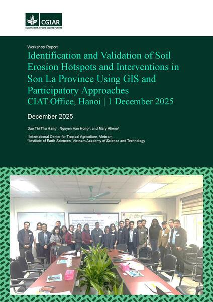
Identification and validation of soil erosion hotspots and interventions in Son La Province using GIS and participatory approaches
Policy response options to crop disease epidemics: The case of Cassava Brown Streak Disease (CBSD) in Southeast Asia
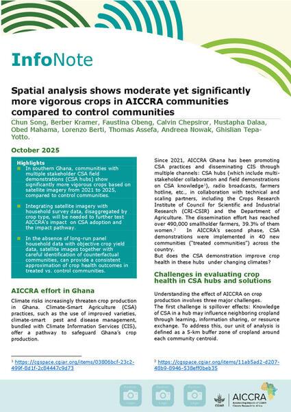
Spatial analysis shows moderate yet significantly more vigorous crops in AICCRA communities compared to control communities
The Nutrition-Sensitive Food Environment Index: A comprehensive approach to assessing food environments in association with health risks for policy decision making
Mapping peatland distribution and quantifying peatland below‐ground carbon stocks in Colombia's Eastern Lowlands
Spatiotemporal analysis of rainfall and temperature variability and trends for a mixed crop-livestock production system: its implications for developing adaptation strategies
Leveraging spatial econometrics for enhanced impact assessment: Insights from agricultural innovation