Research Articles Using remote analysis to study the influence of landscape on biodiversity in agroforestry systems
Conserving biodiversity in regenerative agroforestry systems depends not only on the management practices within a plot, but also on the surrounding natural and human-generated habitats. In agricultural systems, more heterogeneous landscapes, i.e. with more diversity of habitats and land use, may have a greater richness of fauna and flora species and associated ecological functions. Although this link is not yet completely clear, it highlights the need to approach research from a broader spatial perspective.
By Sandra Duarte Guardia and Carolina Ocampo-Ariza
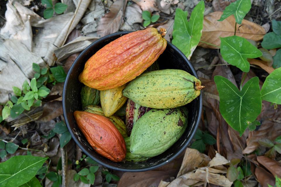
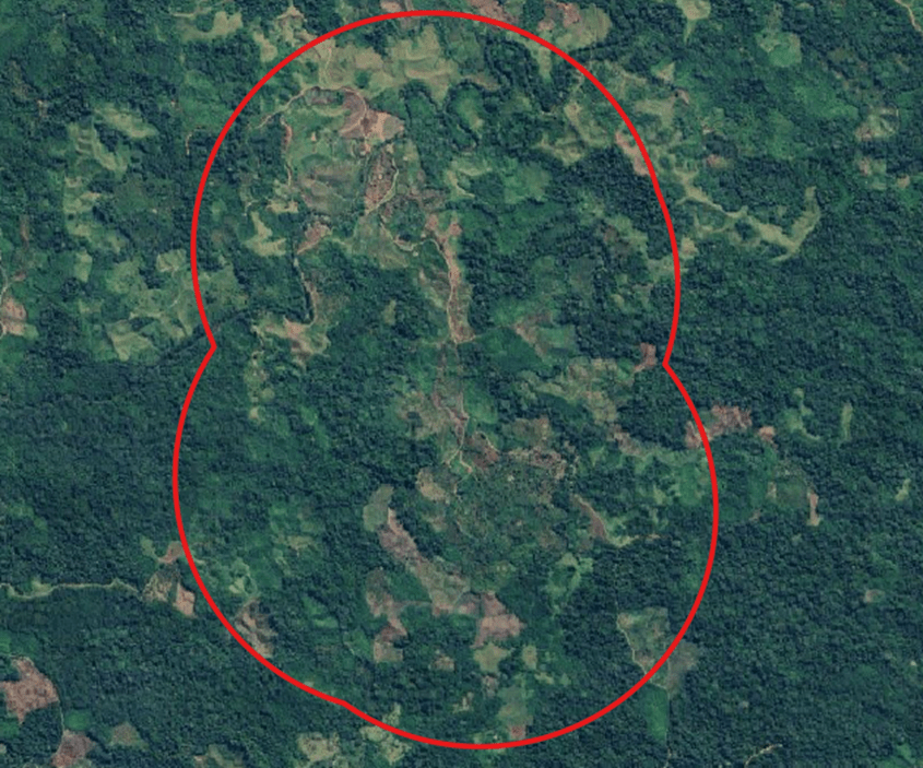
Satellite imagery and its increased free availability at high resolution provides a novel tool for assessing in great detail the diversity of land uses over a wide area. This dramatically reduces the costs associated with mapping habitats at large scales. In the framework of the Regenerative Ecological Agriculture project, implemented by the Alliance Bioversity & CIAT and the COS Stock as a tool for the prediction of biodiversity values (PE501080680), funded by PROCIENCIA, implemented by Universidad Científica del Sur, we seek to evaluate how landscape conformation influences the biodiversity of birds, bats and insects within cocoa agroforestry systems of the Colpa de Loros cooperative in the region of Ucayali, Peru.
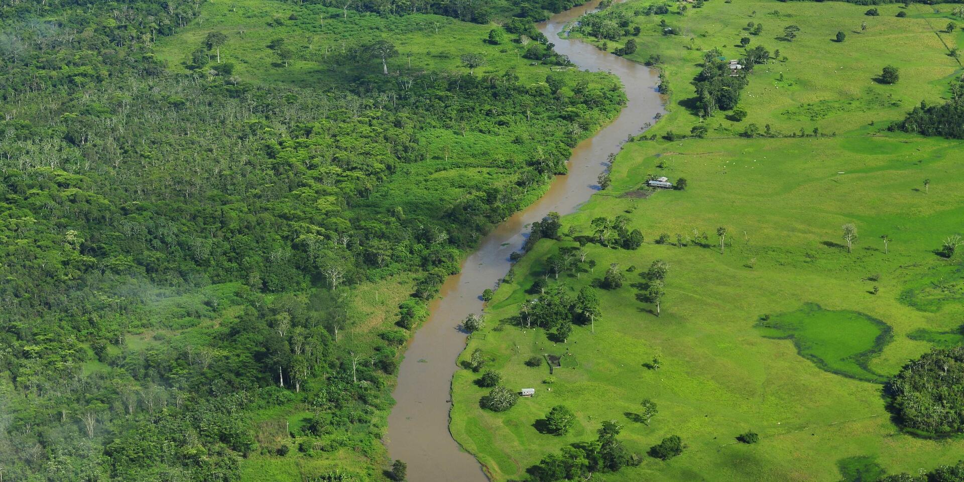
We rely on geographic information systems to calculate the diversity of land cover present in a 1 km buffer around each of our 40 study points. Using satellite imagery, we classify all the land around the points into 7 land cover categories: (1) agroforestry systems and tall forests; (2) bare soil; (3) built-up areas (integrating villages, houses and access roads); (4) pastures and other degraded areas with little vegetation; (5) monocultures, mainly cocoa and oil palm; (6) water bodies such as rivers and springs; and (7) secondary forest. Using the open access program QGIS, we create polygons for each category, thus generating a digitized map of the area around the plot.
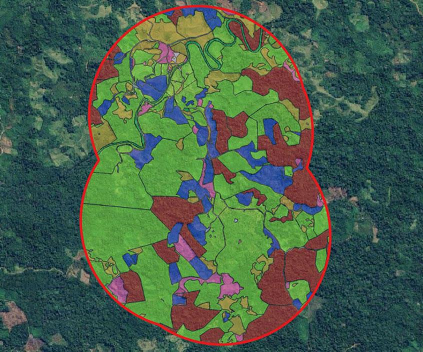
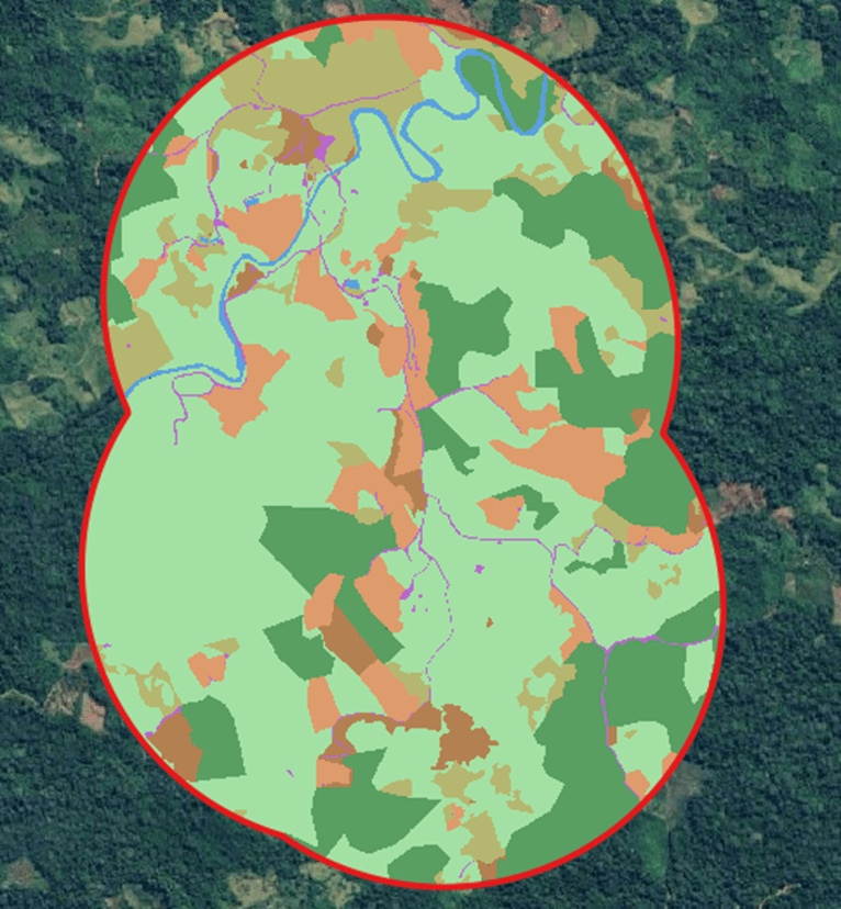
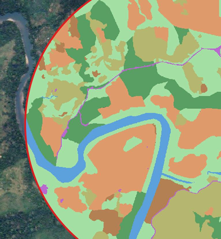
Once the digitizing process is completed, we create a raster image from the generated polygons. This type of image is composed of tiny pixels that form the figures. Thus, we can calculate the area covered by each coverage category by calculating the number of pixels belonging to each one within all the buffers created. From this data, we calculate an index of cover diversity in each landscape through the Shannon-Wiener index (commonly used to measure the diversity of organisms in an area).
This work allows us to have a clearer vision of the existing differences in land use that could influence not only the diversity of animal species in PFE, but also the ecosystem services they can provide for the benefit of cocoa producers in the area. These analyses can provide useful tools for regional governments to make decisions about land use. For example, there may be an area or connectivity limit for different land cover types, thus simultaneously benefiting local biodiversity and the people who live and work the land in these places.
El proyecto Agroecological Regenerative Cocoa (ARC), liderado por la Alianza de Bioversity International y el CIAT y KAOKA y ejecutado en conjunto con sus socios CIFOR-ICRAF, Conservation International (Colombia), Fundación KAOKA y Biocacao, busca contribuir al establecimiento de paisajes productivos sostenibles en la cadena de valor del cacao de excelencia en Colombia, Ecuador y Perú. El proyecto está financiado por el Fondo Francés para el Medio Ambiente Mundial (FFEM).
Related Blogs