
Blog Climate Services: A strategy for increasing resilience in Guatemala's dry corridor
By Arely Valdivia Araica, Carlos Navarro and Mónica Hernández
Guatemala is one of the countries with the highest agricultural production in Central America, characterized by its diverse ecosystems and geology. Eight of its 22 regions are located in the 'dry corridor' - an area highly vulnerable to drought and other weather challenges. Annual rainfall in the dry corridor is estimated to be less than 1,000mm, posing major challenges for agriculture.
In the Guatemalan dry corridor, farmers who produce their crops seasonally (mainly corn and beans), generally plant on pre-established dates each year. However, climatic variability and lack of rain makes it increasingly unrealistic and unproductive to follow these traditional dates. Extreme weather events in this regions are becoming more frequent, intense and with greater impacts on communities.
In this context, understanding the dynamics of the rains before they arrive is essential. To anticipate the rain, it is necessary to improve the regional communication channels to facilitate access to timely and reliable weather and climate information. This information allows communities to understand the behavior of climatic variables and how these affect their productive activities, thus allowing them to protect their livelihoods.
Bridging the climate information gap
Since early 2022, the Alliance of Bioversity International and CIAT has worked in collaboration with the Program to Build Resilience in Communities Vulnerable to Food Insecurity and Climate Crisis (Pro-Resilience) led by the World Food Programme (WFP) and funded by the European Union, focusing on managing climate variability risks through the implementation of Participatory Integrated Climate Services for Agriculture (PICSA).
The program has been developed in three dry corridor regions: Chiquimula, El Progreso and Zacapa. It has reached 6,000 farming families in 60 communities, most of which are located on mountain slopes with limited access to information, technologies and technical assistance. In these areas, productivity is affected by adverse climatic effects, socioeconomic conditions and precarious roads to reach the communities.
Through PICSA, a diverse group of stakeholders has bridged the climate and weather information gap for farmers. The challenge is to be able to build knowledge in an understandable way, and provide the necessary tools to be able to use them in a contextualized way to make informed climate decisions locally. After a process of empowerment through workshops, first for technicians and then at the field level, more than 5,000 community leaders have been trained.
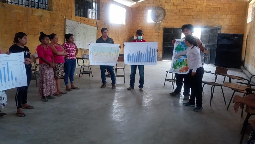
Photo 1. The May-July 2023 seasonal forecast. Department of El Progreso, Guatemala.
Learn more about the PICSA methodology here.
Over the past two years, the steps of the methodology that are most useful in dealing with climatic variations in basic grain production cycles have been addressed. Before the rainy season, producers have understood the interpretation and analysis of climate data, and evaluated their productive assets through the generation of a 'resource allocation map'. Following this, issues related to the climate-crop relationship have been addressed, such as the analysis of water requirements of crops in the region and the identification of more resilient practices for crop cultivation (known as 'productive assets' in ProResilience), using participatory exercises.
The farmers noted that these activities allowed them to better visualize how their farms and resources are organized, and to identify how to plan more effectively. Similarly, they expressed their interest in analyzing climate information with these tools, because it allowed them to discuss the practices that each farmer had tested throughout the year, and see how they have been adapted over time.

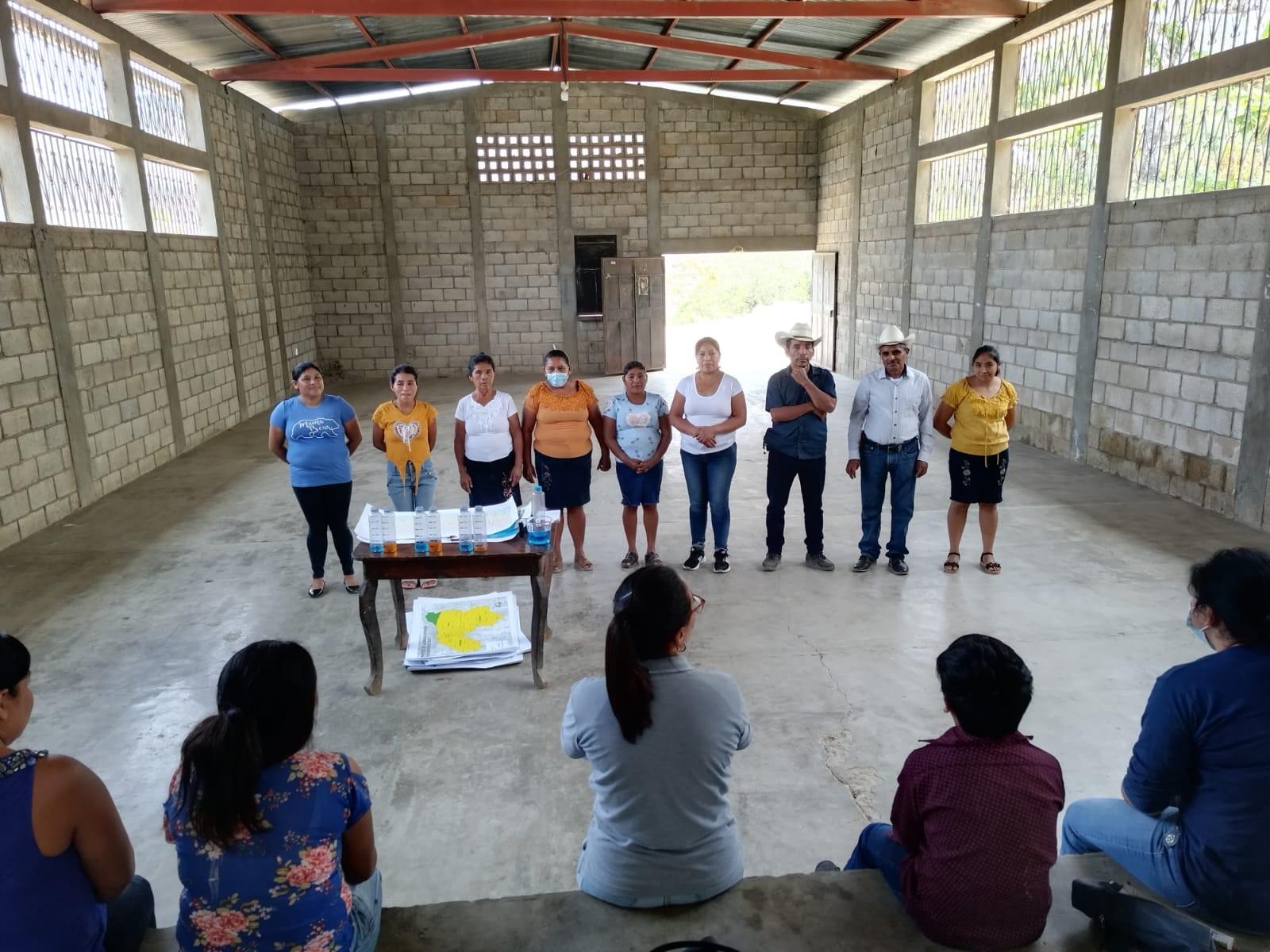
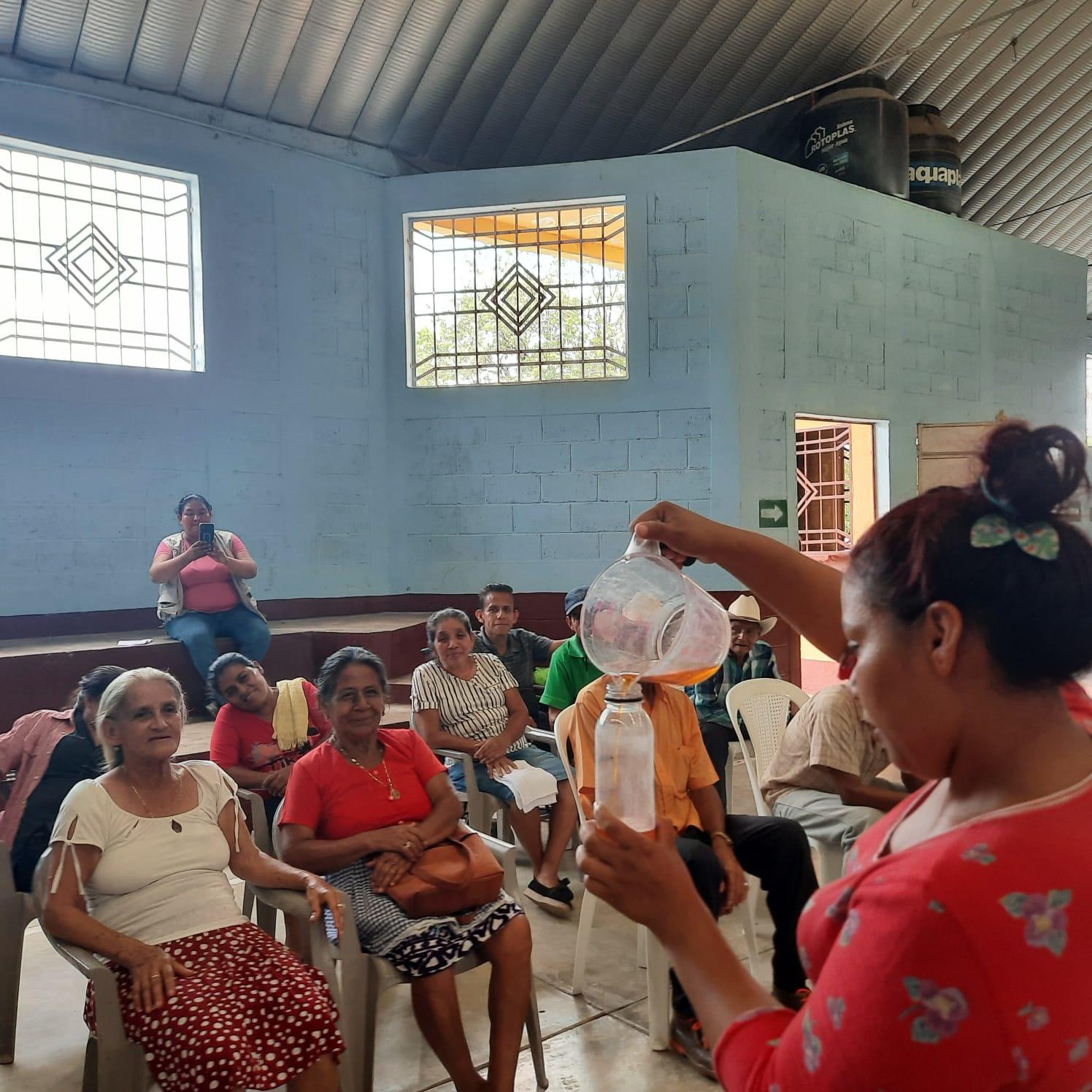
Photo 2. Exercise to understand the terciles, related to the seasonal forecast. Department of Zacapa, Guatemala.
Based on the knowledge acquired, the farming families had more tools to decide what to produce in the next season. To make this decision, the activity results were analyzed in light of the so-called 'participatory budgets', as a tool that allowed them to evaluate the options that best suited their individual conditions.
The work was carried out in groups, which encouraged discussion among diverse community actors. The group chose and analyzed two or three practices per crop, livestock system or livelihood, inquiring into the experience and interests of the members of the relevant groups. As a result of this exercise, people were able to understand which practices were the most appropriate for them.
Before and during the farming season, climate forecasts are presented, with information from the Central American Climate Forum of Central America (CA-COF). In addition, the team also increased farmers' understanding of concepts such as "El Niño" and "La Niña", and the implications of these weather variations on local climates. Over the course of 2022, interviewed participants found the forecasts to be accurate, significantly supporting them in making effective decisions about their farming.

Knowing the climate forecast for the coming months is very important information for farmers, allowing them to make decisions in a preventive rather than a reactive way.

Supported by community leaders, the workshops are supporting the upscaling of local farming, as told by Malida Lorenzo, a farmer from the El Jute community: "...we have shared the knowledge with family members and with the community and friends, even with other neighboring communities."
Encouraging farmers to make decisions based on accurate and site-specific weather and climate information is still a challenge, but it is also an opportunity for using participatory approaches to share climate services. Engaging activities, graphic materials and group activities bring a wealth of knowledge to communities, and encourage the meaningful participation of all community members.