SERVIR Eastern and Southern Africa
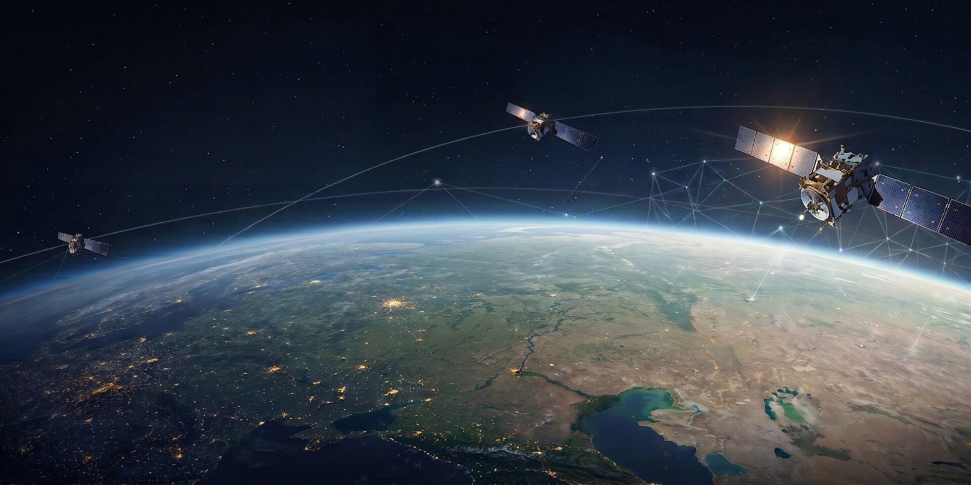
SERVIR Eastern and Southern Africa is part of the The SERVIR Global Collaborative which is an open, evolving alliance of regional hubs and partners that turns cutting‑edge geospatial science into locally led, globally connected solutions for environmental and development challenges.
Project Name (full): SERVIR Eastern and Southern Africa
Geographic area, countries: East and Southern Africa- Kenya, Tanzania, Uganda, Rwanda, Zambia, Ethiopia, Malawi
Funders: Fund for Science and Technology (FFST) through Spatial Informatics Group – Natural Assets Laboratory (SIG-NAL)
Brief description
SERVIR is a globally coordinated, locally-led collaborative that helps governments and communities transform Earth observation, geospatial science, and GeoAI into operational services for resilient, sustainable development. Its network of regional hubs and global partners across Africa, Asia, and Latin America brings together local knowledge, scientific expertise, and shared digital capabilities to co-develop decision-support services that strengthen climate resilience, disaster preparedness, food security, water security, and environmental stewardship.
SERVIR E&SA is implemented by the Alliance of Bioversity International and the International Center for Tropical Agriculture (CIAT) based in Nairobi, Kenya. Accelerating the journey from scientific innovation to operational impact, we co-develop decision-support services with regional institutions, build shared digital platforms that reduce the cost and time of deploying new capabilities, strengthen the institutions that sustain those services, and create pathways for successful innovations to be reused and scaled across regions. We use GeoAI to make advances in Earth observation and artificial intelligence more accessible, useful, and scalable.
SERVIR E&SA is leading the development of the global Food Security platform which monitors agricultural conditions, anticipates threats to food production, and strengthens food security decision-making, bringing together information on crops, weather, water, and other factors to support agricultural monitoring, production forecasting, and earlier identification of emerging food security risks.
Key activities
- Development of the Global Food Security Platform based on GEOAI
- Implementation of GEOGLOWS monitoring in Zambia to support flood forecasting and address associated risks and impacts
- Regional capacity strengthening – through training and knowledge co-development
- Hub Sustainability efforts
Project leaders

Anastasia Wahome
Research Team Leader