Characterizing degradation of palm swamp peatlands from space and on the ground: An exploratory study in the Peruvian Amazon
Mapping of soil organic carbon stocks for spatially explicit assessments of climate change mitigation potential
Caracterización de la degradación de los pantanos de palmeras turbosos desde el espacio y sobre el terreno: Un estudio exploratorio en la Amazonia peruana
Using high-resolution imagery and deep learning to classify land-use following deforestation: a case study in Ethiopia
Predictive modeling of above-ground biomass in Brachiaria pastures from satellite and UAV Imagery using machine learning approaches
Characterizing and mapping cropping patterns in a complex agro-ecosystem: An iterative participatory mapping procedure using machine learning algorithms and MODIS vegetation indices
Site-specific scaling of remote sensing-based estimates of woody cover and aboveground biomass for mapping long-term tropical dry forest degradation status
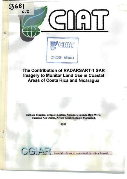
The contribution of RADARSAT-1 SAR imagery to monitor land use in coastal areas of Costa Rica and Nicaragua
Multi-pronged assessment of land degradation in West Africa to assess the importance of atmospheric fertilization in masking the processes involved
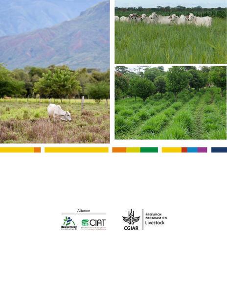
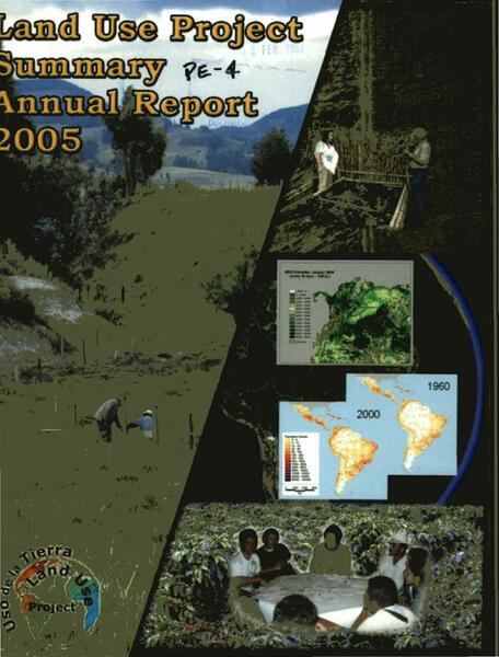
Land use studies: Reconciling the Dynamics of Agriculture with the Environment Summary: Annual report 2005 Project PE-4
Criterios para planificación del uso de la tierra en los Llanos Orientales colombianos, basado en unidades de paisaje. Estudio de caso: Municipio de Puerto López, Projecto conjunto PE-4 y PE-2
Improving natural resource management for an Andean watershed using an interactive coupled GIS/watershed model: quantifying and predicting the effect of land use practices on erosion, water quality, and crop production for the Ovejas watershed,…
Cartografía de la cobertura de la tierra en el municipio de Puerto López, Colombia, utilizando imágenes de RADARSAT-1 y de JERS-1: Proyecto Colombia-8 GlobeSAR-2