Land use studies: Reconciling the Dynamics of Agriculture with the Environment Summary: Annual report 2003 Project PE-4
Land use studies: Reconciling the Dynamics of Agriculture with the Environment: Annual report 1998 Project PE-4
Land use studies: Reconciling the Dynamics of Agriculture with the Environment: Project PE-4: Annual Reports: 1995-2005
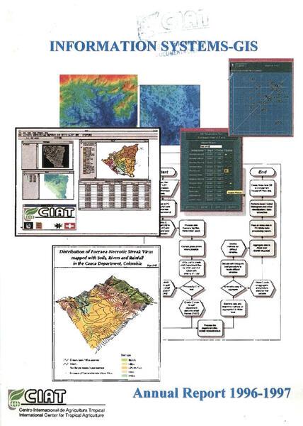
Land use studies: Reconciling the Dynamics of Agriculture with the Environment: Annual report 1996-97 Project PE-4
Report on validation of remote sensing to predict important parameters for pasture management under tropical conditions
Assessment of high speed internet for remote sensing data acquisition and exchange in Colombia and Latin America
Multiple scale land characterization on the hillsides zone of Honduras using integrated remote sensing, GIS and agricultural census
Technical implications of land monitoring projects using remote sensing data in Central America for natural resource management
Estimating rice yield related traits and quantitative trait loci analysis under different nitrogen treatments using a simple tower-based field phenotyping system with modified single-lens reflex cameras
Generación de modelos digitales de elevación a partir de imágenes RADARSAT (método radargramétrico): interim report
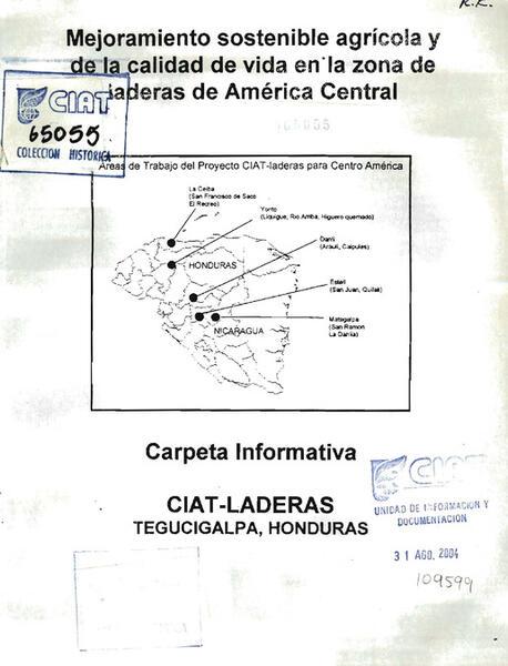
Mejoramiento sostenible agrícola y de la calidad de vida en la zona de laderas de América Central: Carpeta informativa
Predicting carbon benefits from climate-smart agriculture: Highresolution carbon mapping and uncertainty assessment in El Salvador
From space to plot: assessment of land degradation pattern in Kenya and its implication for sustainable land management