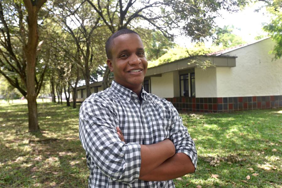
Jorge Andres Perez Escobar
Jorge Andres is a Research Associate in the Digital Inclusion Team, with experience in the development and application of methodologies for the analysis of vegetation cover loss, land cover change, and flooding detections, using remote sensing and geographic information systems.
He is a topographic engineer from Universidad del Valle in Cali, Colombia, with skills that allow the management of large volumes of information, satellite image processing, Machine Learning techniques, and time series analysis; in addition to the management of programming languages such as R, Python, JavaScript, HTML; programs such as ArcGIS, QGIS, and Google Earth Engine.
He has supported activities for the development and improvement of processing codes in projects such as Terra-i, and Agua de Honduras, as well as capacity building with government institutions and the private sector in countries such as Colombia, Honduras, Nicaragua, and El Salvador.

