The impact of user characteristics of smallholder farmers on user experiences with collaborative map applications
Potential of deterministic and geostatistical rainfall interpolation under high rainfall variability and dry spells: case of Kenya’s Central Highlands
Modelación de la Accesibilidad en ArcView 3: Una extensión para calcular el tiempo de viaje y obtener información sobre captación de mercados
Gender relations and inequalities in the Amazon: The potential of geospatial systems to address gender inequalities
Género en la Amazonía potencial de los sistemas geoespaciales para enfrentar las inequidades de género: Un estudio en el marco del Programa SERVIR-Amazonia
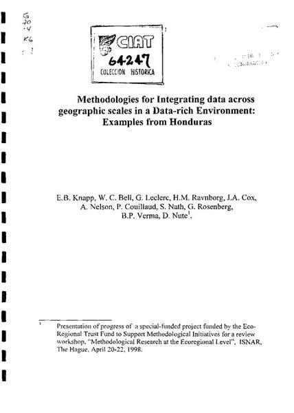
Methodologies for integrating data across geographic scales in a data-rich environment: examples from Honduras
Herramientas para la toma de decisiones en América Latina y el Caribe : Indicadores ambientales y sistemas de información geográfica
Integrated pest management and GIS: spatial analysis of the whitefly problem in Central America, Mexico and the Caribbean: the GIS component: user and technical documentation
Curso de Introducción a los Sistemas de Información Geográfica (1998 : [Tegucigalpa], Honduras; [Managua], Nicaragua). Curso teórico de introducción a los SIG y a la toma de decisiones
Estimating impacts of geographic information systems research: using rubbery scales and fuzzy criteria
Método SIG para identificar problemas y oportunidad de investigación en el manejo de los recursos naturales
HCI-Evaluation of the GeoCitizen-reporting App for citizen participation in spatial planning and community management among members of marginalized communities in Cali, Colombia