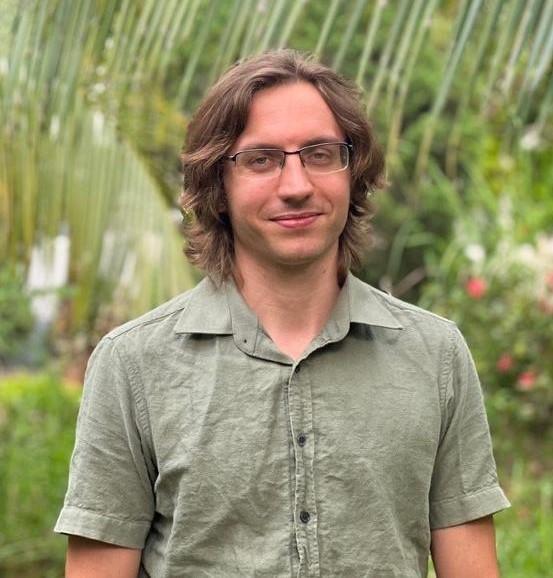
Thibaud Vantalon
Thibaud is an expert in using satellite imagery in combination with machine learning technics to develop monitoring system tuned to inform about the status and environmental impact of supply chains and practices. Since he joined the Alliance of Bioversity International and CIAT in 2018, he has worked on the development of Terra-i+, a risk assessment tool for private sector to manage deforestation within their commodity chain. He developed the land cover mapping component, a convolutional neural network software specialized in mapping tree crops in the presence of shade trees. He also created the shade canopy and visible bare soil mapping tools. Allowing for better remote sensed carbon assessment within agroforestry systems.
His interests also include working on new innovative digital approaches like the monitoring of food flow in wet market in exchange for free Wi-Fi.

