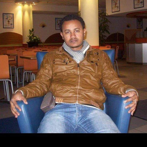
Getachew Tesfaye Ayehu
I am Research Project coordinator- Remote sensing and Geospatial Analyst at the Alliance of Bioversity and CIAT- Ethiopia office.
Prior to this, I was a Remote Sensing Specialist and researcher at the Ethiopian Space Science and Geospatial Institute. I have over 14 years of experience in remote sensing and geospatial science and their application to agriculture, hydrology, forestry, climate variability, and sustainable development. I am currently coordinating the REDD+ Participatory Forest Management (PFM) project, which is being implemented in five zones in SW Ethiopia.
In addition, I am now working on the building of EO data cubes to provide analysis ready data for Ethiopia, farm plot boundary mapping, remote sensing based in-season crop monitoring for local agro-advisories, index based crop insurance & risk financing, crop yield prediction using remote sensing data and machine learning algorithms, remote sensing based irrigation scheduling, soil moisture monitoring, validation and customization of remote sensing based near real-time forest monitoring systems, forest and non-forest mapping, developing remote sensing based near real-time forest fire monitoring system, and land optimization for cereal-legume mixed cropping system.
I contributed more than 17 peer-reviewed publications available on my ResearchGate profile, and one textbook. I have supervised 4 Masters’ students and currently co-supervise 1 PhD student. I have taught advanced courses in remote sensing & Geospatial science to MSc and PhD students. I hold My PhD in remote sensing from Addis Ababa University, Ethiopia.

