
Digital Meteorological Bulletin
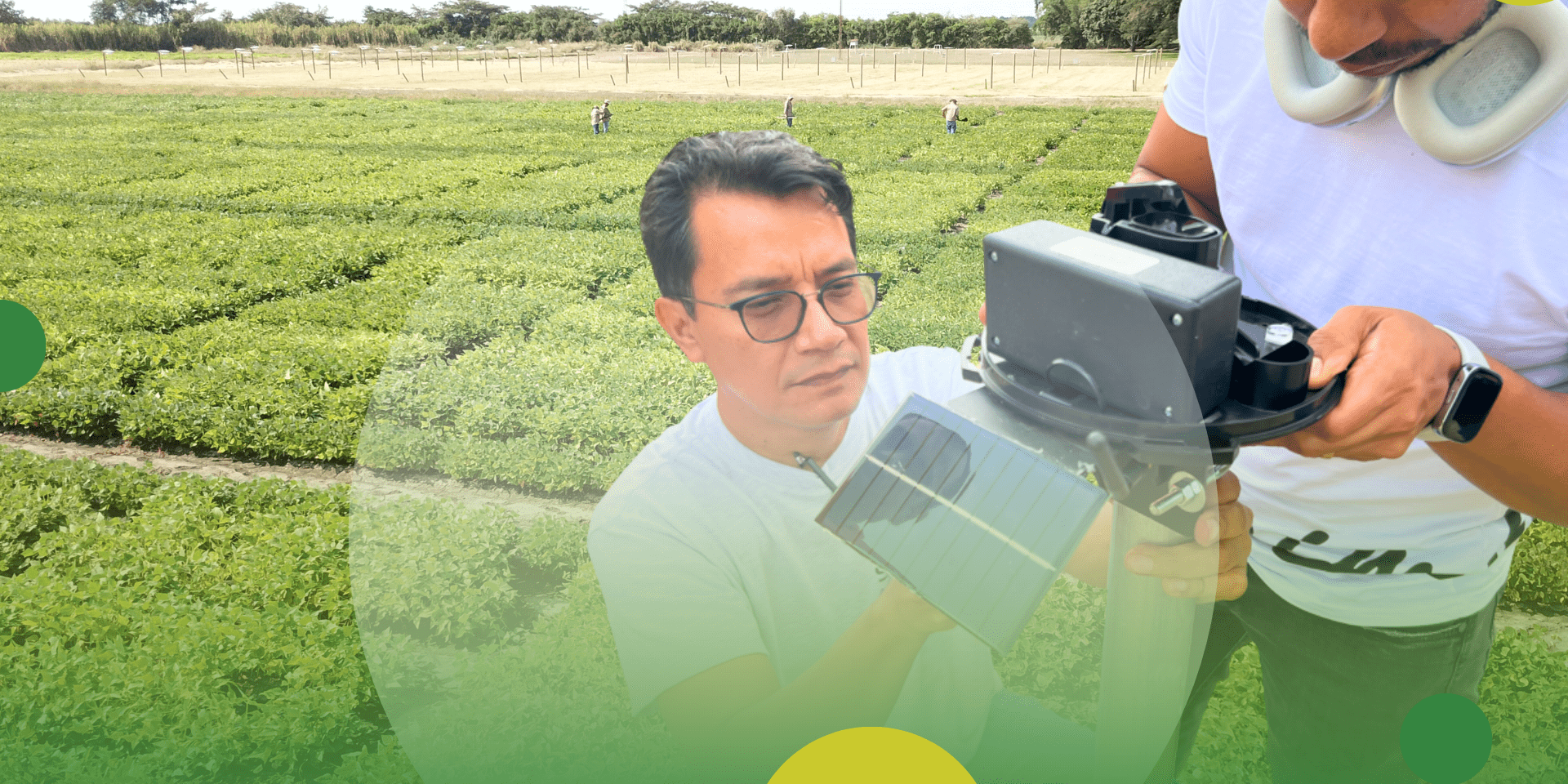
The Digital Meteorological Bulletin is a free online platform developed under the Green Campus Improvement Initiative to provide real-time weather information across the Alliance’s Americas Hub experimental campus in Palmira. The platform integrates data from ten automated rain gauges and a weather station managed by Cenicaña — the Sugarcane Research Center of Colombia and a key technical partner in this effort. Through an interactive web interface and campus screens, it displays rainfall, evaporation, temperature, humidity, solar radiation, and wind speed, offering users a comprehensive view of local agroclimatic conditions.
In what context is this tool useful?
The Digital Meteorological Bulletin automatically collects and visualizes meteorological data, allowing users to track rainfall distribution and other key variables in real time. By providing accessible, field-level climate information, it helps optimize resource use and reduce risks associated with weather variability.
The tool supports research, field operations, and climate monitoring at the Americas Hub. It is particularly valuable during the implementation and evaluation of agricultural experiments, informing decisions related to sowing, irrigation, fertilization, machinery use, and harvesting.
Overall, the Bulletin enables timely, evidence-based decision-making for researchers, technicians, and farm managers, strengthening planning, resource efficiency, and adaptation to climate variability.
Results achieved and expected
The tool has significantly enhanced access to real-time weather data across the Palmira campus, strengthening decision-making pathways for both research and field operations. By integrating automated data collection and visualization, it has improved monitoring of rainfall and other climatic variables.
Expected results include more precise crop management, optimized use of inputs such as water and machinery, and greater adaptive capacity to climate variability.
Upcoming versions will include new forecasting and decision-support features, such as:
- weekly excess/deficit water forecasts and
- irrigation requirements based on observed agroclimatic conditions and water balance models.
Variations, scaling and adaptation
Scaling Potential: From Campus to Community
The Digital Meteorological Bulletin has strong potential to scale beyond the experimental campus to farms and production landscapes.
How we scale the system?
Our scaling strategy is based on a low-cost, decentralized data collection model linked to a central platform:
-
Low-Cost Hardware: Deploying low-cost automated rain gauges and weather sensors directly into farmers’ fields.
-
Centralized Platform: Connecting these sensors to a centralized digital platform accessible via mobile and web interfaces.
-
Target Users: Empowering farmers, cooperatives, and extension services with direct, local data, to monitor local weather conditions, rainfall distribution, and water availability directly from mobile or web interfaces.
The system can also integrate irrigation alerts, short-term forecasts, and water balance models to support timely, precise agronomic decisions. Through partnerships with local organizations and institutions, the Bulletin could evolve into a scalable network of agroclimatic monitoring systems, improving resilience, optimizing resource use, and fostering digital innovation in smallholder farming communities.
Contact us
Camilo Barrios Pérez - [email protected]
Meet the team behind this platform
- Camilo Barrios Pérez – [email protected]
- Alejandra Amaya Quintero – [email protected]
- Genner Narvaez – [email protected]
About the project
Please note that this video is in Spanish, with English subtitles.
Discover the new rain gauge network: real-time rainfall monitoring
(Video in Spanish Language, activate automatic subtitles)