From the Field Catalyzing climate security interventions through participatory mapping in Arid and Semi-Arid counties of Kenya
The Alliance of Bioversity International and CIAT held workshops in Isiolo and Nairobi, Kenya, in May and June 2024. They aimed to address climate change-induced conflicts through participatory mapping, fostering local resilience and informing policy.
By: Owen Kimani, Benson Kenduiywo, Victor Korir, Pauline Omagwa and Duncan Kebut
Climate Change Intensifies Extreme Weather and Human Insecurity in Kenya
Climate change is a recognized catalyst behind the increasing frequency of extreme weather events and subsequent human insecurities. In Kenya, heavy rainfall has wrecked havoc, damaging infrastructure, crops, livestock, and causing significant loss of life and property. Arid and Semi-Arid Counties (ASACs), already strained by five consecutive failed rainy seasons followed by the recent floods, are particularly vulnerable. The need for climate-resilient, peace-sensitive solutions to address ongoing resource-based conflicts, such as those over water and pasture, is urgent as these issues are exacerbated by climate change, creating a vicious cycle of escalating tensions.
Environmental Challenges and Opportunities in ASACs
ASACs face a myriad of environmental challenges threatening community stability. These include droughts, heat stress, extreme rains, flooding, land degradation, loss of biodiversity, inter-ethnic violence, cattle rustling, border disputes, and land conflicts. Despite these hurdles, there are significant opportunities for transformation and innovation.
The Role of Science and Technology in Addressing Climate Change
The Alliance plays a crucial role in addressing these challenges through science. Through Alliance’s Climate Resilience initiative (ClimBeR), an online tool (Climate Security Observatory) that collates research on how climate exacerbates conflict, where it occurs, who is affected, and what can be done to break the cycle and build resilience was developed. The CSO identifies climate security hotspots within 21 km² grids, highlighting areas where conflict, extreme climate conditions, and socioeconomic vulnerabilities intersect. This data informs policymakers and stakeholders to design targeted interventions.
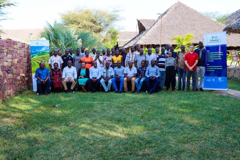
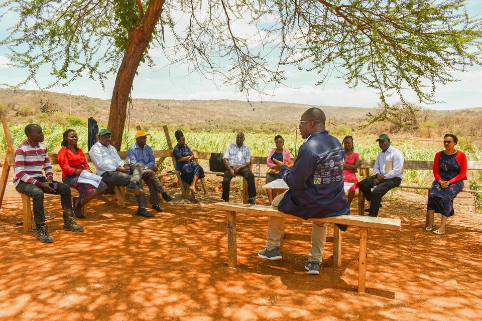
Participatory Mapping Workshop in Isiolo
In partnership with the Humanitarian OpenStreetMap - Eastern & Southern Africa hub (ESA-Hub: Read more
the Alliance organized a workshop in Isiolo from May 22-24, 2024. The workshop aimed to raise awareness of climate security issues, validate existing hotspots, identify new ones, and catalyze local resilient solutions through participatory mapping. Stakeholders included representatives from the Ministry of Interior, Civil Society Organizations, Indigenous groups, and county departments from various ASACs.
Key Discussions and Findings
Discussions focused on the nature of extreme climate events and conflicts within the identified hotspots. Participants detailed various climate extremes, their impacts on livelihoods, and the nature of conflicts, including causes, frequency, and actors involved. Existing mitigation measures and new interventions were also discussed. Participants identified new hotspots not captured by the CSO due to data limitations. Cross-cutting challenges included cattle rustling, overgrazing, land rights disputes, displacement, water scarcity, unclear migration corridors, and high illiteracy levels. Unique challenges, such as siltation of Lake Turkana and insecurity from Al Shabaab, were also noted.
Proposed Solutions for Resilience and Peace
Solutions proposed through participatory mapping included licensing and regulations over shared resources, land-use planning, capacity building on climate change, land adjudication, promotion of indigenous drought-resistant livestock and seeds, water harvesting, value addition for farmers' products, mobilizing funds through green climate funds, digital peacebuilding targeting youths, and improved dissemination of early warning information. The combination of hardcopy maps and digital tools facilitated the identification of local challenges and potential solutions.
Next Steps and Long-term Goals
Insights from the participatory mapping will inform analysis in the CSO. Eventually, since the CSO openly disseminates information, the efforts will enhance climate resilience through informed, data-driven interventions guided by participatory mapping. Empowering local communities and stakeholders to develop and sustain climate security solutions will promote local ownership and long-term sustainability as per Article 7 of the Paris Agreement. The Alliance initiatives also inform policy recommendations, such as those in Kenya’s National Climate Change Adaptation Plan (NCCAP) III, advocating for spatially aware decision support systems.
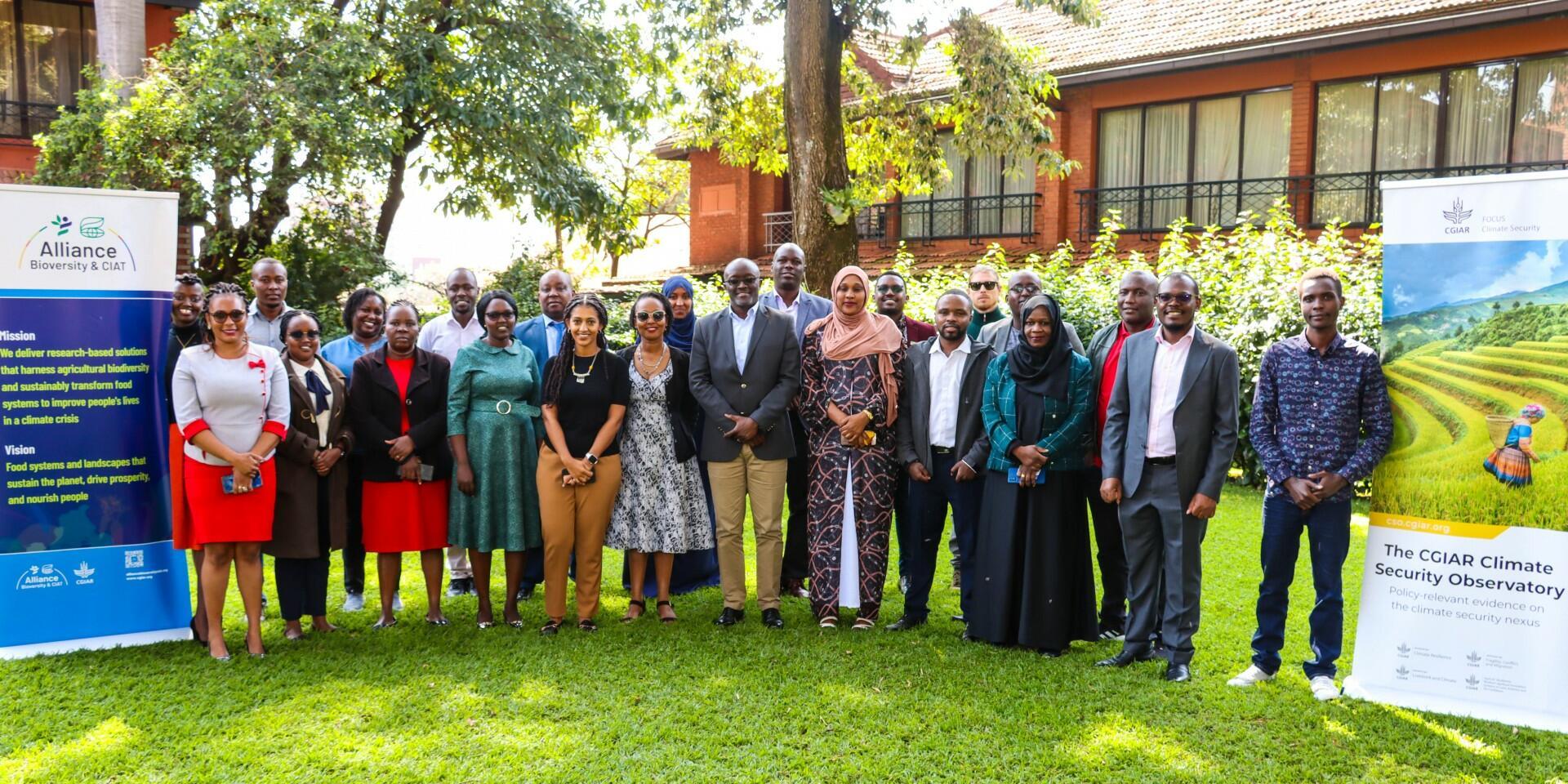
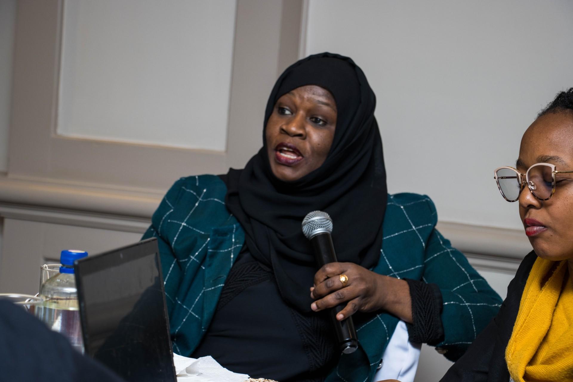
Insights from the Workshop in Nairobi
On June 11, 2024, a one-day workshop was held at the Norfolk Hotel in Nairobi, Kenya, building on the findings from the Isiolo workshop. This workshop engaged stakeholders, including governmental bodies, NGOs, local communities, and academic institutions, to disseminate findings and foster collaborative efforts towards context-specific resilience solutions.
Through these efforts, the Alliance aims to strengthen collaboration among various entities, build capacities in utilizing open mapping tools, and promote sustained climate peace and security initiatives.
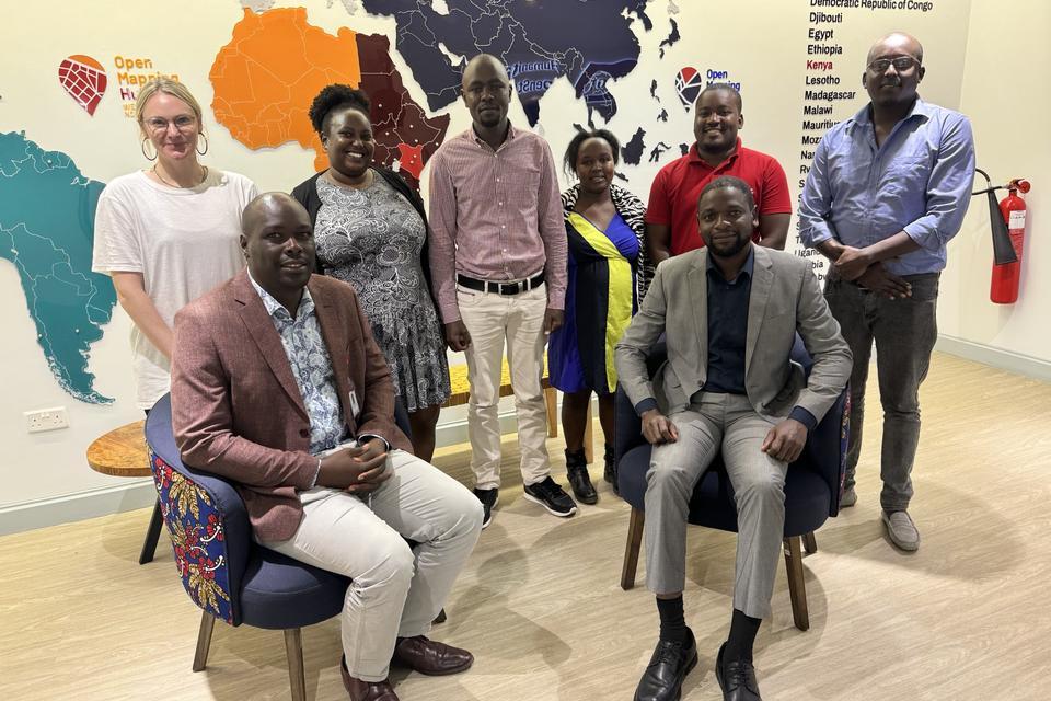
About Humanitarian OpenStreetMap - Eastern & Southern Africa hub (ESA-Hub)
The Open Mapping Hub -Eastern & Southern Africa [ESA-Hub] is a regional collaboration led by the Humanitarian OpenStreetMap Team [HOT], a Non Governmental Organisation that sits at the forefront of participatory mapping, community-led development, humanitarian response, open data and open data and technology. Our mission is to advocate for and actively facilitate the creation, utilization, and widespread dissemination of high-quality open map data communities across 23 countries in Eastern & Southern Africa. We believe that open map data is universal and contributes to identifying problems, monitoring change, managing and responding to events, forecasting, setting priorities and understanding humanitarian and development trends. Read more