
Press and News The Digital Map of Chemical Fertility of Ecuador's Soils wins international prize

ESRI Ecuador awarded this tool in the Map Gallery category. The Digital Fertility Map is a tool that supports the diagnosis, monitoring, and control of soil degradation in this country. The project was developed within the framework of the SERVIR-Amazonia Program and in collaboration with the Ministry of Agriculture and Livestock (MAG, by its acronym in Spanish) of Ecuador.
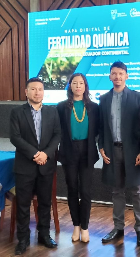
The 'Digital Map of Chemical Fertility of Ecuador's Soils', presented in Quito last August 26 in the presence of the Ministry of Agriculture and Livestock of Ecuador (MAG), won in the Map Gallery category of the ESRI Ecuador 2022 User Conference.
This project aimed to create a chemical fertility map of the soils of mainland Ecuador to support the diagnosis, monitoring, and control of soil degradation.
The Digital Map of Soil Chemical Fertility was developed over a year and a half by the Alliance of Bioversity International and the International Center for Tropical Agriculture (CIAT), in collaboration with Ecuador's Ministry of Agriculture and Livestock and the EcoCiencia Foundation.
During that time, the Alliance team, formed by Mayesse da Silva, Javier Martín, and Juan David Caicedo, worked in coordination with the technicians from the Soil Unit of the General Coordination of National Agricultural Information and the General Directorate of Environmental Management (CGINA-DGGA, by its acronym in Spanish) of MAG: Wilmer Jiménez, Oscar Calahorrano, and Darwin Sánchez. Together, they co-developed the fertility map and maps of key soil properties related to fertility, based on soil profiles collected nationwide.
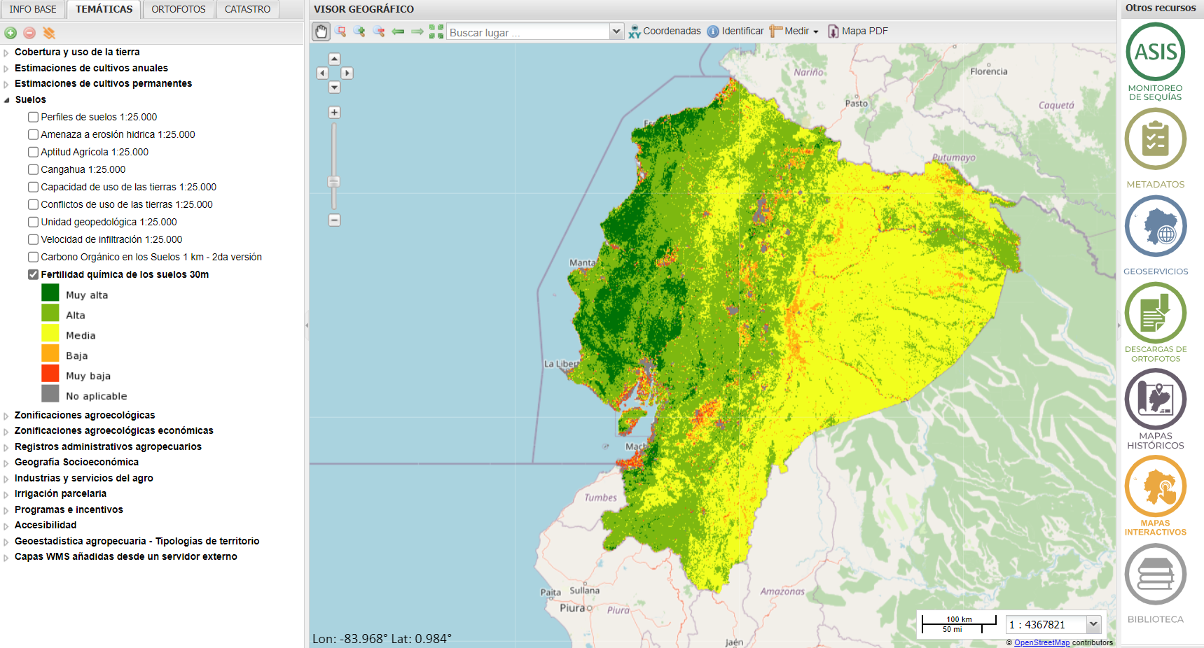
"MAG had a soil database of about 13,500 soil profiles sampled in the country that was not standardized and was underutilized. In that service, soil properties such as pH, and organic matter, among others important to define soil fertility were mapped using that information after being verified, corrected, and standardized. Now, the country has a map that adds value to the information they have collected over several years. This map enables its users – ranging from agricultural technicians and associations to the government – to make better recommendations and informed decisions,” stated Mayesse da Silva, the project leader.
During the map presentation, MAG officials and representatives from various public and private institutions committed to sustainable soil management participated. It is worth noting that the project arose from the need of Ecuador's MAG to strengthen its capacities in developing geospatial information, such as the fertility map, required for creating the country's Soil Degradation Map.
This map contributes to the diagnosis and monitoring of soil degradation in Ecuador, mainly caused by erosion, desertification, and pollution that influence the development and quality of crops.
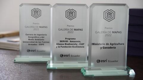
Thanks to the efforts of the Ministry of Agriculture and Livestock (MAG) and the scientists from the Alliance and EcoCiencia, on November 9th, ESRI Ecuador awarded the Digital Map of Soil Chemical Fertility the title of "Winning Map" in the Map Gallery.
Since 2020, The Environmental Systems Research Institute (ESRI) is the world's largest GIS (geographic information systems) software developer. A geographic information system is a framework used to create, manage, analyze, and map different types of data with unique locations, enabling the identification of spatial patterns and relationships that help better understand the phenomena occurring on the earth's surface to improve management and decision-making.
"This award, granted by ESRI, is undoubtedly a recognition to all the people who were involved both directly and indirectly in this development, but above all, it is an invitation to the entire community to continue contributing with their knowledge to the monitoring, improvement, and conservation of the world's soils," said Javier Mauricio Martín.
Credits: ESRI Ecuador
This development aims to complement the country’s spatial information and can be used for a wide range of applications, such as soil degradation risk zoning, land use planning based on soil characteristics, defining fertilization programs with best practices, and identifying areas for conservation.
The Fertility Map was developed within the framework of the SERVIR-Amazonia Program, which is part of SERVIR Global, an initiative between the National Aeronautics and Space Administration (NASA) and the United States Agency for International Development (USAID) and led by the Alliance of Bioversity International and CIAT.
To explore the ESRI award-winning Digital Map of Chemical Fertility and other maps related to soil properties, visit the following link: http://geoportal.agricultura.gob.ec