
Press and News Assessing agricultural biodiversity in Borotse floodplain, Zambia
Bioversity International Regional Director, Sub-Saharan Africa, Joseph Jojo Baidu-Forson, talks about a recent assessment of agricultural biodiversity carried out in response to stakeholders' concerns about biodiversity loss in Barotse.
An assessment of agricultural biodiversity in the Barotse floodplain in Western Zambia, led by Bioversity International as part of the CGIAR Research Program on Aquatic Agricultural Systems has just been completed following concerns by stakeholders of biodiversity loss in the region.
We interviewed Bioversity International Regional Director, Joseph Jojo Baidu-Forson, to find out more.
Q: Why the need to study agricultural biodiversity on the Borotse flood plain?
A: The Borotse floodplain comprises a wetland area alongside the Zambezi River as it passes through Western Zambia. Rural communities there have to deal with both the opportunities and constraints of the plain’s seasonal flooding which add extra challenges to biodiversity management. For example, the communities move away from the plains during the flood season to higher ground and then return when the floods recede. Added to this already challenging environment, changes in the predictability of flood patterns, climate change, and increasingly frequent and severe extreme weather events are adversely affecting income and food security.
Stakeholders, including those who live on the plain and depend on it for their livelihoods, are becoming increasingly concerned about the loss of biodiversity. These concerns led the CGIAR-led Consortium Research Program on Aquatic Agricultural Systems (AAS) to request an assessment of agricultural biodiversity in the region which Bioversity International was invited to lead.
Q: What was the scope of the assessment?
A: The scope of the assessment was to understand the uses, status and trends of local biodiversity for food and agriculture in the floodplain in order to prioritize and guide future research-in-development activities in Zambia’s Western Province. The assessment was carried out by Bioversity International with support from Caritas-Mongu, Catholic Relief Services and Worldfish. In addition, two people from the Western Province of Zambia area, from Natural Resources Development College in Lusaka and the University of Barotseland in Mongu, participated in the surveys as consultants.
The assessment documented the different plant species (both cultivated and collected from the wild), varieties of species, livestock types and breeds, fish species, mushrooms and insects which are consumed by communities in the Borotse floodplain communities.
Q: What kind of agricultural biodiversity on the plain is under threat and why does it matter?
A: There is a perennial species of grass, Oryza longistaminata, which is indigenous and from the same genus as cultivated rice (O. sativa). This ‘bushy rice’ is being weeded and replaced with improved cultivated rice. However, this variety contains environmentally-adapted genes that are very useful for rice breeding for improvement. There is also a local sorghum variety, ‘Sindeketi’, whose seeds are obtained by being saved from the previous harvests and from neighbours. It is cultivated because it is early maturing, produces big heads, and it is not eaten by birds. However, its seed availability is on the decline due to a decline in cultivation.
There is also a strikingly large number of nutritious varieties of vegetables which are collected from the wild when in season to supplement diets that are based on cultivated crops particularly maize, cassava and rice, all of which are increasingly under threat.
Q: Why was it important to work in a participatory way with the local rural communities in Borotse during the assessment?
A: The focus of the AAS Research Program in Zambia is to improve the livelihoods of the rural communities taking into account the opportunities and threats offered by seasonal flooding on the plain so it was important to reflect the dreams and challenges of those who depend on the plain for their livelihoods as part of the study.
Participatory research methods are also critical to harness indigenous knowledge about how to match various land types to specific crops and water availability to secure crop production and yields and maintain biodiversity to sustainably improve livelihoods. These rural communities have cultivated this challenging area for a long time and have accumulated knowledge that is particular to the local environment. For example, the farmers in the floodplain recommend planting the rice variety, Supa, in deep water, while the variety Zawa should be planted in shallow water as their water needs are different for rice-grain filling - an important trait that contributed to grain weight.
Rural communities from 10 target villages in the Borotse floodplain participated in focus group discussions and individual surveys during the agricultural biodiversity assessment. We also ensured that the community focus groups and individual surveys covered roughly equal numbers of both women and men and that views of young people were sought.
Q: What kind of strategies could improve livelihoods and maintain biodiversity on the plain?
A: Farmers told us that they are experiencing low yields from their major cultivated crops (rice, maize, sorghum, millet, cassava, etc.). This is highlighting opportunities for productivity improvement such as using a mix of varieties that mature at different times and matching them to the different land types and rains to spread the risk of complete harvest loss due to extreme weather or other events such as pest and disease outbreaks. In addition, we are looking at better access to improved seeds, soil amendments to enhance nutrient availability and non-chemical practices to control weeds on the fragile wetland ecosystem.
Farmers are also adapting the crops that they grow to the increases in unpredictability of the seasonal flooding— for example, by cultivating rice instead of maize. But some crops which are grown in areas prone to flooding, such as pumpkins, will have to be abandoned or cultivated in other areas.
A future strategy within the AAS Research Program will be to work with stakeholders to identify threatened crops and explore possible alternative sites to cultivate flood-threatened crops that are important to the rural communities for livelihoods, nutrition or tradition. They are also exploring community-led agronomic studies that will seek to overcome current constraints to crop productivity and low levels of food production.
Other opportunities to improve livelihoods we are looking at include the more systematic cultivation of edible compost-dependent mushrooms, woody perennials and crops that are linked to new market opportunities.
Q: This work is part of the collaborative CGIAR Research Program on Aquatic Agricultural Systems (AAS). What is the program all about and what is Bioversity International contributing to the collaboration?
A: Aquatic agricultural systems are farming and fishing systems where the annual production dynamics of natural freshwater and/or coastal ecosystems contribute significantly to the household livelihood, including income and food security. Living in coastal zones and along river floodplains, the farmers, fishers and herders who depend upon aquatic agricultural systems are not only poor, they are also vulnerable to multiple drivers of change, notably demographic trends, climate change, sea level rise, and increasingly frequent and severe extreme weather events.
The AAS Research Program aims to improve the lives of these communities through participatory action research, while establishing effective learning and partnership arrangements that can lead to impact at multiple scales. It is a partnership between three CGIAR centres — WorldFish, Bioversity and International Water Management Institute — working with a wide array of local intervention partners (government and non-governmental agencies, the traditional authorities and communities in 10 villages). Bioversity International is leading the assessment of agrobiodiversity and contributes to the assessment of ecosystem services.
- Download the report here:
Assessment of agrobiodiversity resources in the Borotse floodplain, Zambia
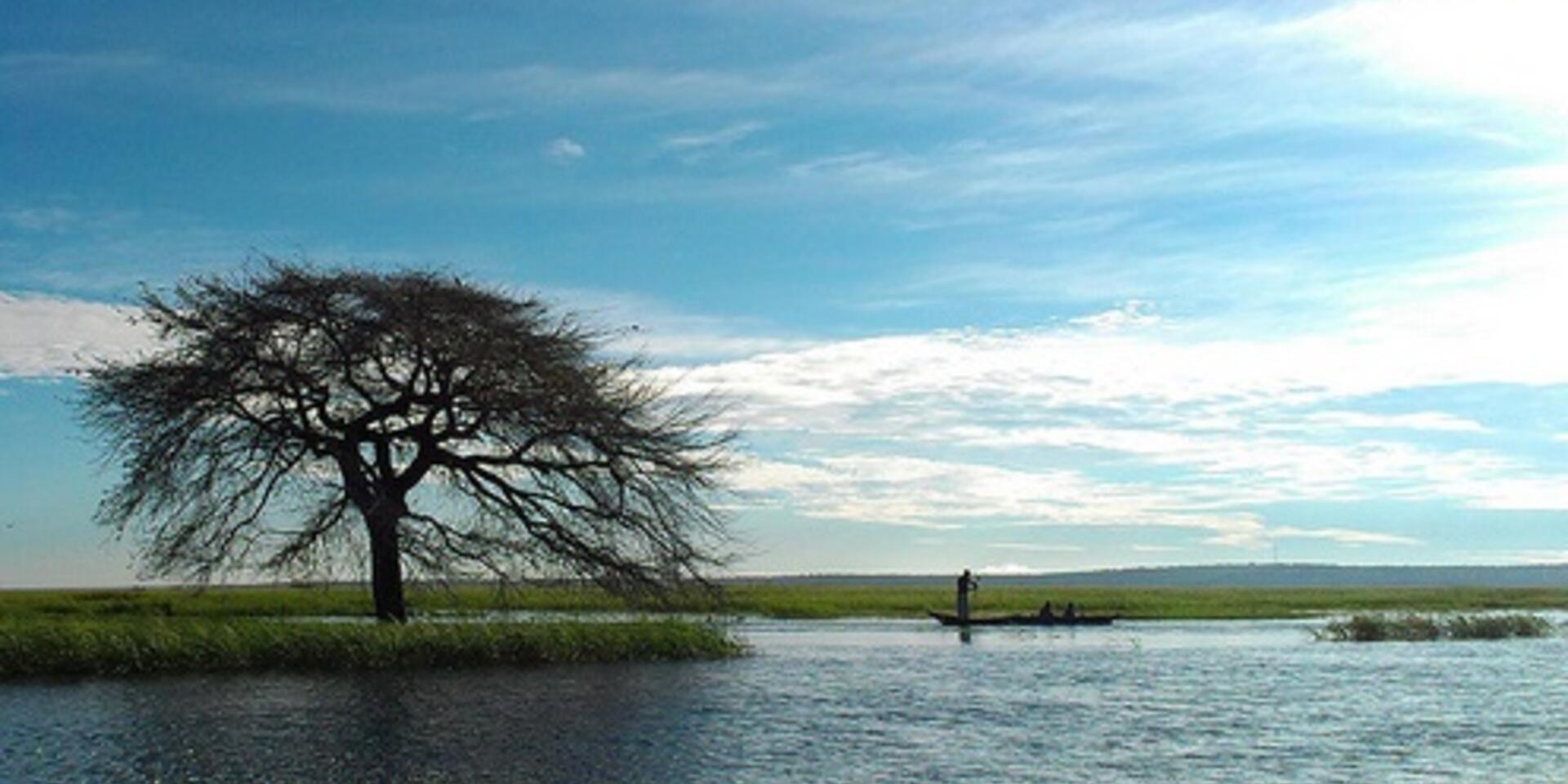
Photo: Along Barotse Floodplain. Credit:Worldfish/Froukje Kruijssen