Javier Mauricio Martín López
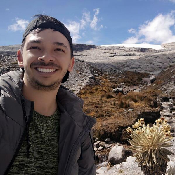
Javier, an agricultural engineer from the Universidad Nacional de Colombia in Bogotá, holds a master's degree in Geoinformatics and spatial data science from the University of Münster, Germany. Currently working as senior research associate in the Multifunctional Landscapes Research Area, he specializes in using Digital Soil Mapping (DSM), artificial intelligence, geostatistics, GIS, data visualization, and spatial data science techniques. His expertise lies in modeling, quantifying, and monitoring the spatiotemporal distribution of soil properties, land use changes, heavy metal contamination in soils, erosion risks, wetlands, and soil health and soil organic carbon stocks, among other areas. He is proficient in using R, Python, and Google Earth Engine. With a diverse research background, he has collaborated with organizations in Germany, Canada, EEUU, Peru, Ecuador, Honduras, El Salvador, and his home country, Colombia. In addition to his research, Javier is fluent in Spanish, English, and German. His interests include dancing, traveling, laughing, drinking coffee, and sharing memes. For him, the best combination is a good conversation with jokes, an empanada, and a juice.
Where to find me
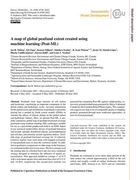
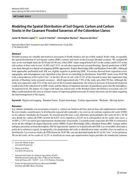
Featured publications