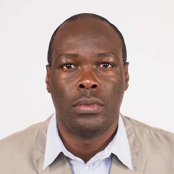
Benson Kenduiywo
Benson Kenduiywo is a Geospatial World Rising star 2024 and a spatial data scientist with experience spanning over decade offering spatial data related solutions including surveying, Early Warning Systems, mapping, remote sensing, machine learning, crop modelling, and index insurance. Recognized as a scientist with research impact on policy and strategies e.g. Kenya’s National Climate Change Action Plan III (NCCAPP III). Proven ability to use machine learning and Artificial Intelligence to offer spatial solutions in Agriculture and beyond, fundraise, manage diverse teams, and forge strong relationship with donors, governments, and private sector. Benson has postdoctoral level experience with PhD in Civil and Environmental Engineering from Technische Universitaet Darmstadt, Germany; Msc in Geo-informatics from University of Twente, The Netherlands; and BSc, Geomatic Engineering and Geospatial Information Systems from Jomo Kenyatta University of Agriculture and Technology (JKUAT), Kenya. At the Alliance of Bioversity International and CIAT, Benson is a research specialist and has supported spatial and related data analysis for the Climate Security Observatory (CSO), Livestock and Climate, Fragility Migration and Conflict amongst other initiatives in climate action. He also led the Climate Security team in East Africa region. Currently, Benson is supporting various ongoing research and bilateral projects.
Credentials:
- PhD, Civil and Environmental Engineering, Technische Universitaet Darmstadt, Germany
- MSc, Geo-informatics, University of Twente, ITC, The Netherlands
- BSc, Geomatic Engineering and Geospatial Information Systems, Jomo Kenyatta University of Agriculture and Technology (JKUAT), Kenya


