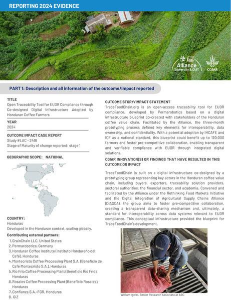
Open traceability tool for EUDR compliance through co-designed digital infrastructure adopted by Honduran coffee farmers
Gestión de datos climáticos, sección de climatología, Departamento de Investigación y Servicios Meteorológicos
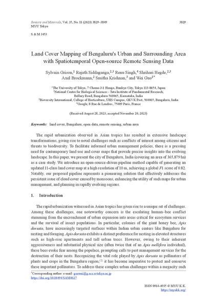
Land cover mapping of Bengaluru's urban and surrounding area with Spatiotemporal open-source remote sensing data
Terra-i+ - Leverage local knowledge and satellite data to perform high-precision mapping of agroforestry systems
Gestión de actores y co-diseño de data hub Gt / intercambio de experiencias exitosas hubs-MTA Mx Guatemala / México
Where is my crop? Data-driven initiatives to support integrated multi-stakeholder agricultural decisions
The role of open data in evidencing and limiting political interference in public input distribution in Guatemala
Toward a digital One CGIAR: Strategic research on digital transformation in food, land, and water systems in a climate crisis
Open research, open data, and your development organization: best practices in information and data management for development
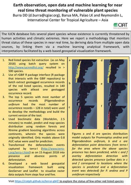
Earth observation, open data and machine learning for near real time threat monitoring of vulnerable plant species
Building essential biodiversity variables (EBVs) of species distribution and abundance at a global scale