Digital twins applications: Linking earth observation, models, and decision-making for multifunctional landscapes
Simulating herbage and soil organic carbon under Urochloa hybrid cv. Cayman in Tanzania using the Decision Support System for Agrotechnology Transfer CROPGRO-Perennial Forage Model
Validation of enteric methane emissions by cattle estimated from mathematical models using data from in vivo experiments
Impacto del cambio climático sobre cultivos relevantes para la región de Centroamérica, este de México y el Caribe
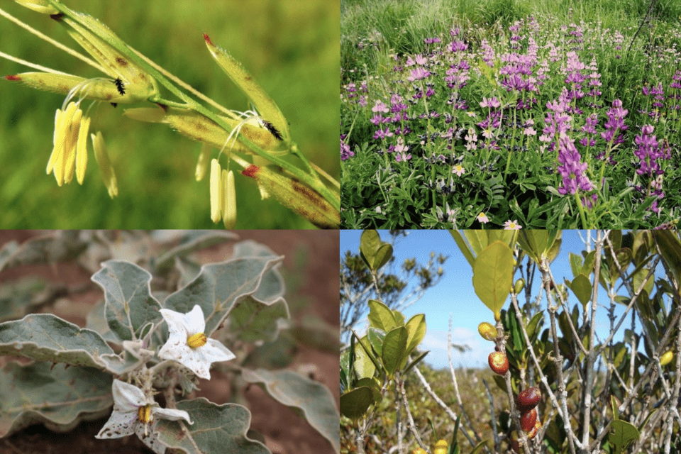
Data for the calculation of an indicator of the comprehensiveness of conservation of useful wild plants
Quantitative assessment of sediment delivery and retention in four watersheds in the Godavari River Basin, India, using InVEST model — an aquatic ecosystem services perspective
Reference soil groups map of Ethiopia based on legacy data and machine learning technique: EthioSoilGrids 1.0
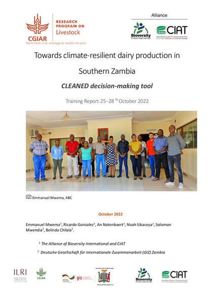
Towards climate-resilient dairy production in Southern Zambia: Report of a CLEANED decision-making tool training report, 25−28 October 2022
Modeling and mapping the spatiotemporal variation in agricultural drought based on a satellite-derived vegetation health index across the highlands of Ethiopia
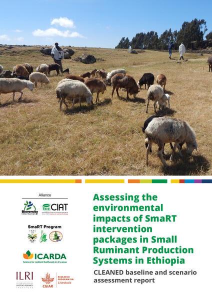
Assessing the environmental impacts of SmaRT intervention packages in small ruminant production systems in Ethiopia
Crop-livestock integration provides opportunities to mitigate environmental trade-offs in transitioning smallholder agricultural systems of the Greater Mekong Subregion
Land Degradation Assessments Using Multiscale Hierarchical Approaches for Agroecosystem Restoration and Improved Food Security: The Case for Kenya and Burkina Faso
South India projected to be susceptible to high future groundnut failure rates for future climate change and geo -engineered scenarios
Phylo-biogeographical distribution of whitefly Bemisia tabaci (Insecta: Aleyrodidae) mitotypes in Ecuador