
Peruvian authorities are using a gold mining monitoring tool for early detection of illegal gold mining in Southern Amazon
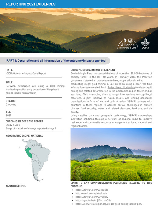
Gold mining in Peru has caused the loss of more than 96,000 hectares of primary forest in the last 30 years. In February 2019, the Peruvian government started an unprecedented mega-operation aimed at eradicating illegal gold mining in La Pampa by using a near real-time information system called RAMI (Radar Mining Monitoring) to detect gold mining and related deforestation in the Amazonian region faster and all year long. This is enabling them to target interventions to stop illegal practices. A joint initiative of NASA, USAID, and leading geospatial organizations in Asia, Africa, and Latin America, SERVIR partners with countries in these regions to address critical challenges in climate change, food security, water and related disasters, land use, and air quality. Using satellite data and geospatial technology, SERVIR co-develops innovative solutions through a network of regional hubs to improve resilience and sustainable resource management at local, national and regional scales.