
Poster
A comparative Digital Soil Mapping (DSM) study using a non-supervised clustering analysis and an expert knowledge based model - A case study from Ahuachapán, El Salvador
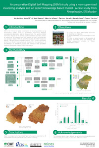
DSM is the inference of spatial and temporal soil property variations using mathematical models based on quantitative relationships between environmental information and soil measurements. The quality of DSM information depends on the method and environmental covariates used for its estimations. We compared two DSM methods to predict soil properties such as Organic Matter “MO” (%), Sand (%), Clay (%), pH (H2O), Phosphorus (mg/kg), Effective Cationic Exchange Capacity “CICE” (cmol/L), Potassium (cmol/L) and Water Holding Capacity (mm/m) for the department of Ahuachapán in El Salvador to support the activities of the Agriculture Landscape Restoration Initiative (ALRI) in the country