
Targeting Tools
A web-based geospatial information system (GIS)
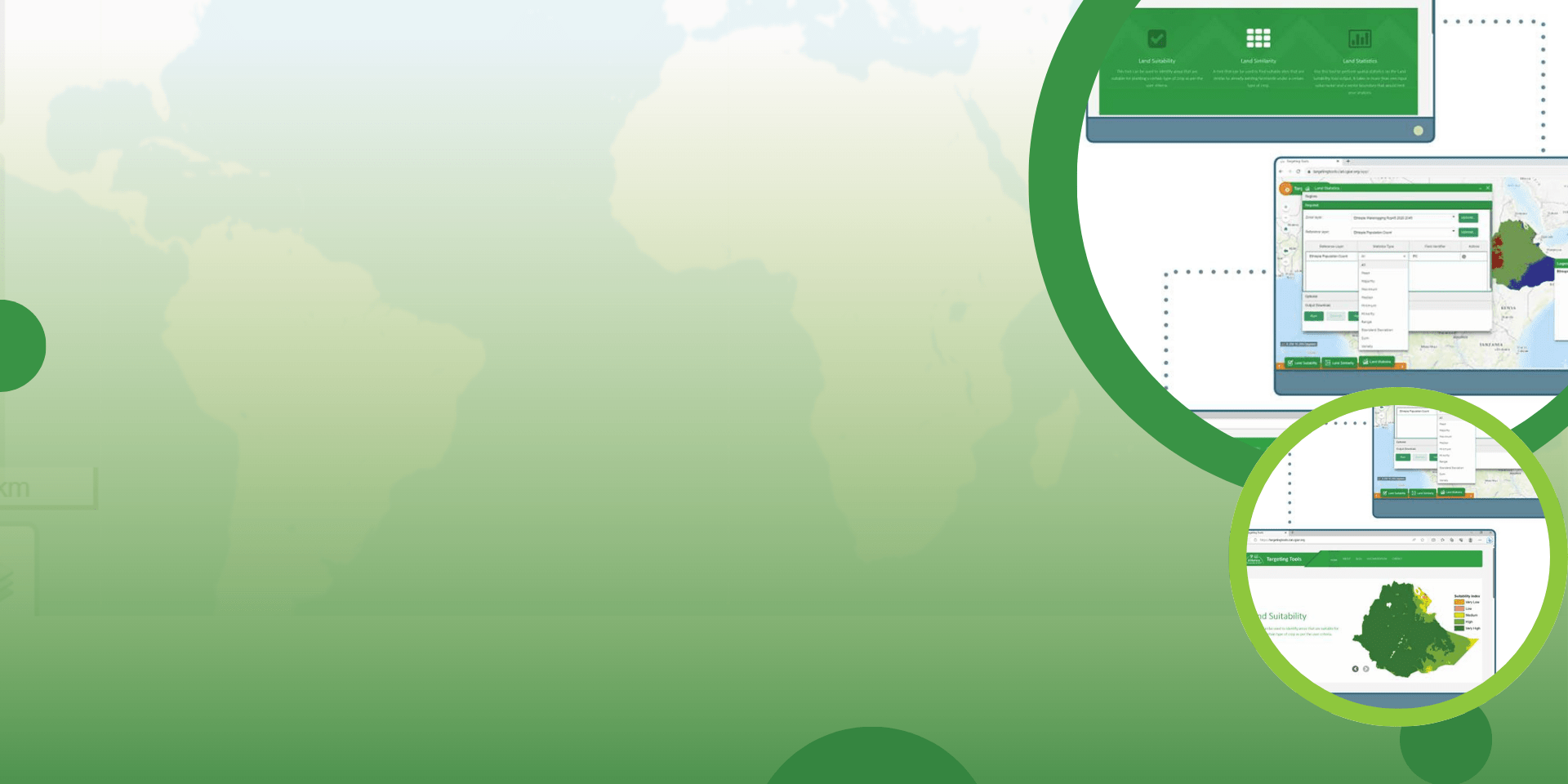
Targeting Tools is a platform that hosts a wide range of global and country-level spatial datasets. It provides tools for land similarity, land suitability, and land statistics analysis through both desktop and web interfaces.
Users can define their own criteria and thresholds to conduct suitability, risk, and similarity mapping, including identifying areas that are biophysically or socioeconomically similar to user-defined reference locations.
The platform integrates multi-dimensional datasets (e.g. climate, soils, agroecology, poverty, market access) and enables zonal statistics to characterize selected areas.
It is well documented, user-friendly, and suitable for students and development practitioners.
In what context is this tool useful?
It supports evidence-based spatial planning, investment targeting, and scaling. The platform can identify suitable or similar areas for interventions using transparent criteria.
Expected outcomes: better decision-making, higher impact per dollar invested, reduced risk, and defensible targeting in proposals and policies.
Results achieved or expected
Targeting Tools has been applied in multiple country contexts to inform the spatial targeting of agricultural interventions, generating detailed, data-driven insights with clear outputs, locations, and quantified results.
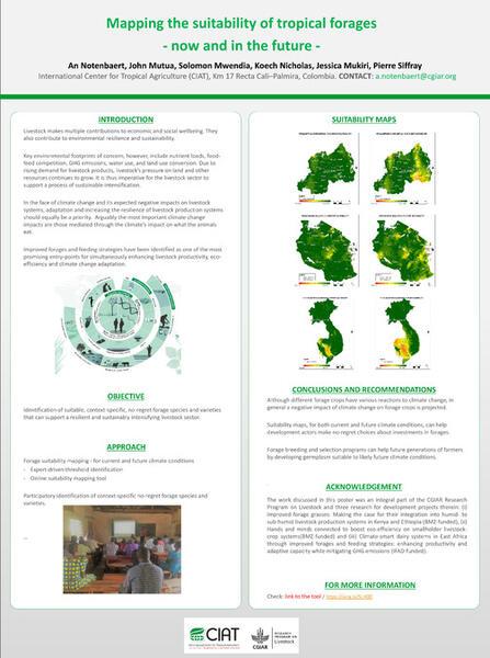
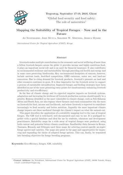
1. Bean and forage suitability mapping (East and Southern Africa)
Using high-resolution biophysical layers and socioeconomic filters, the platform has produced national and transboundary suitability maps for common beans and forages across multiple countries (e.g., Kenya, Uganda, Tanzania, Rwanda, and Ethiopia).
These maps identify priority areas by suitability class (e.g., highly suitable, suitable, marginal), including quantification of area extent (km²) and breakdowns by administrative units. For example, detailed forage species suitability maps across Ethiopia and Tanzania show agroecological zones where specific grasses and legumes match local climate and soil conditions. These outputs have informed national adaptive research planning and scaling pathways.
The results have been used in proposals and strategy documents, supporting investment cases with spatial evidence.
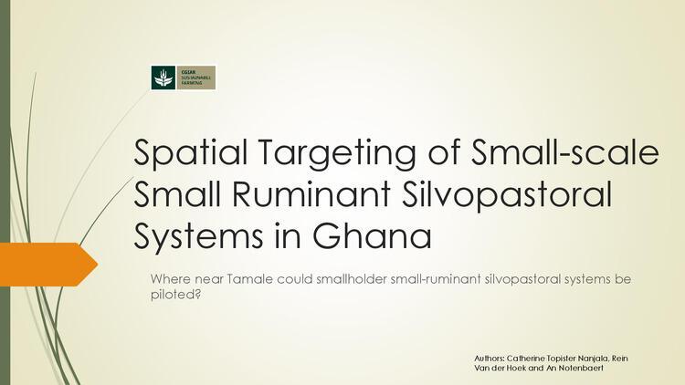
2. Small-scale ruminant silvopastoral systems (Ghana)
Within the Sustainable Farming Science Program, the GIS tools were used to spatially target pilot sites for smallholder silvopastoral interventions for goats and sheep in Ghana.
Expected outcomes across applications
Data-backed proposals with defensible spatial evidence for researchers, donors, and government partners.
Variations, scaling and adaptations
The Targeting Tools platform is modular and criteria-driven, making it highly adaptable. While initially used for beans and tropical forages, it can be applied to other crops, livestock systems, agroforestry, climate-risk screening, and nutrition- or poverty-sensitive targeting by adjusting datasets, thresholds, and indicator weights.
It operates at global, national, and sub-national scales and supports similarity mapping to scale from pilot sites to comparable areas.
Researchers can upload their own spatial data, define custom criteria, and replicate workflows. Its web-based design and documentation facilitate reuse, teaching, cross-country application, and integration into project design and climate finance proposals.
Contact us

Aniruddha Ghosh
Senior Scientist
An Maria Omer Notenbaert
Team Lead, Africa Tropical Forages ProgramResources
Funders
The original version of the tools was supported by the Feed the Future Innovation Lab for Collaborative Research on Sustainable Intensification. Further refinements were funded through the CGIAR Sustainable Farming and Multifunctional Landscapes programs.