Research Articles Mapping knowledge together: How social cartography empowers rural communities
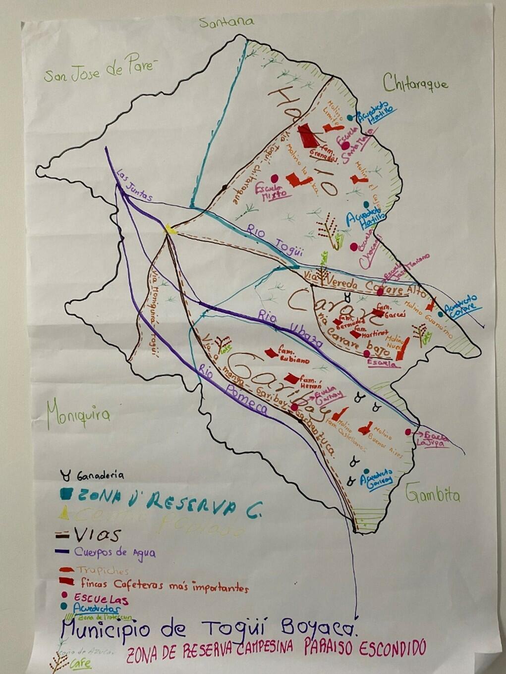
When researchers and communities come together to draw a map, something powerful happens. The lines, colors, and symbols sketched on paper become more than geographical references; they turn into shared narratives of place, memory, and change. This is the essence of social cartography; a participatory qualitative methodology increasingly used to understand and transform rural and agricultural systems.
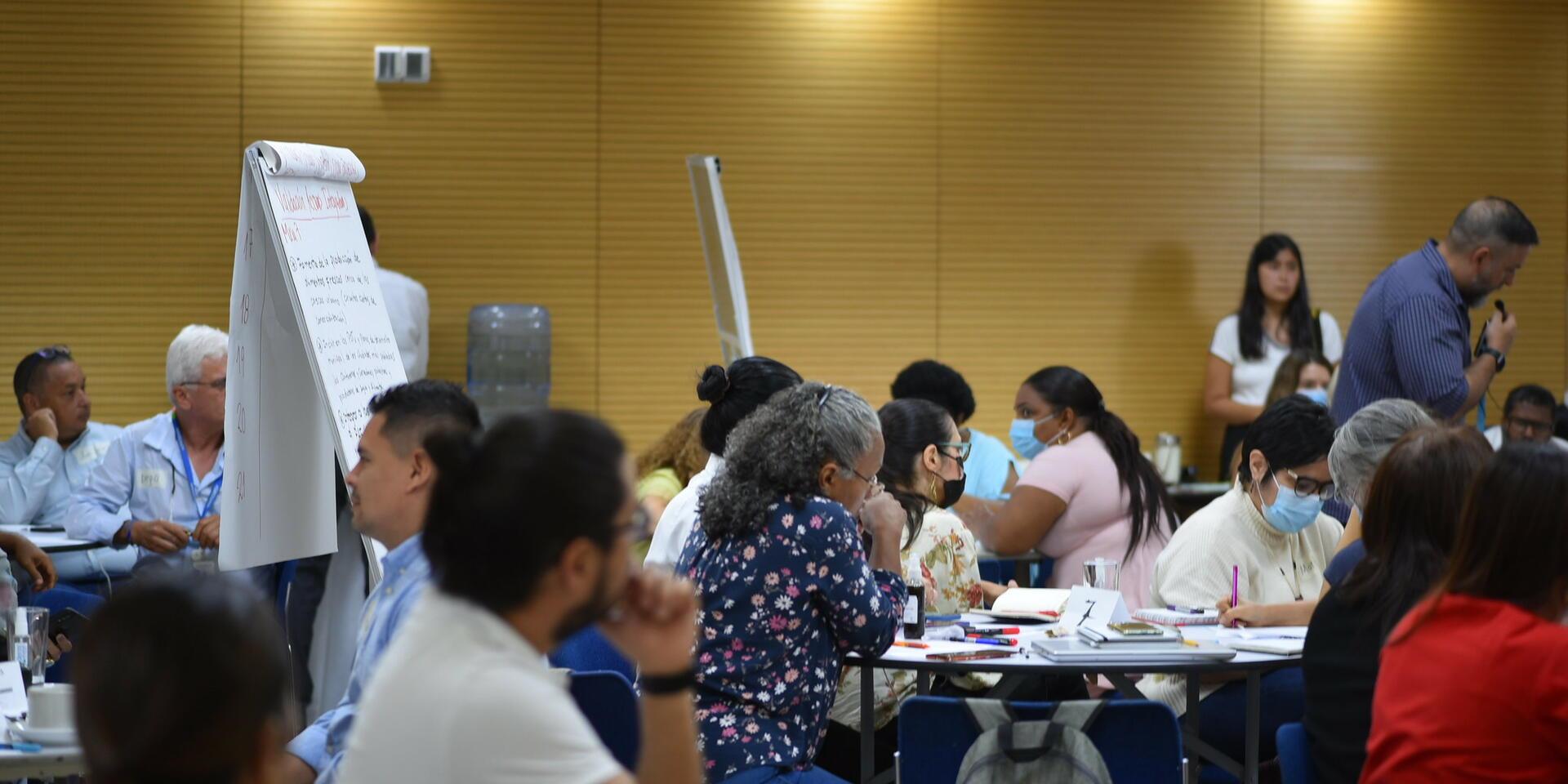
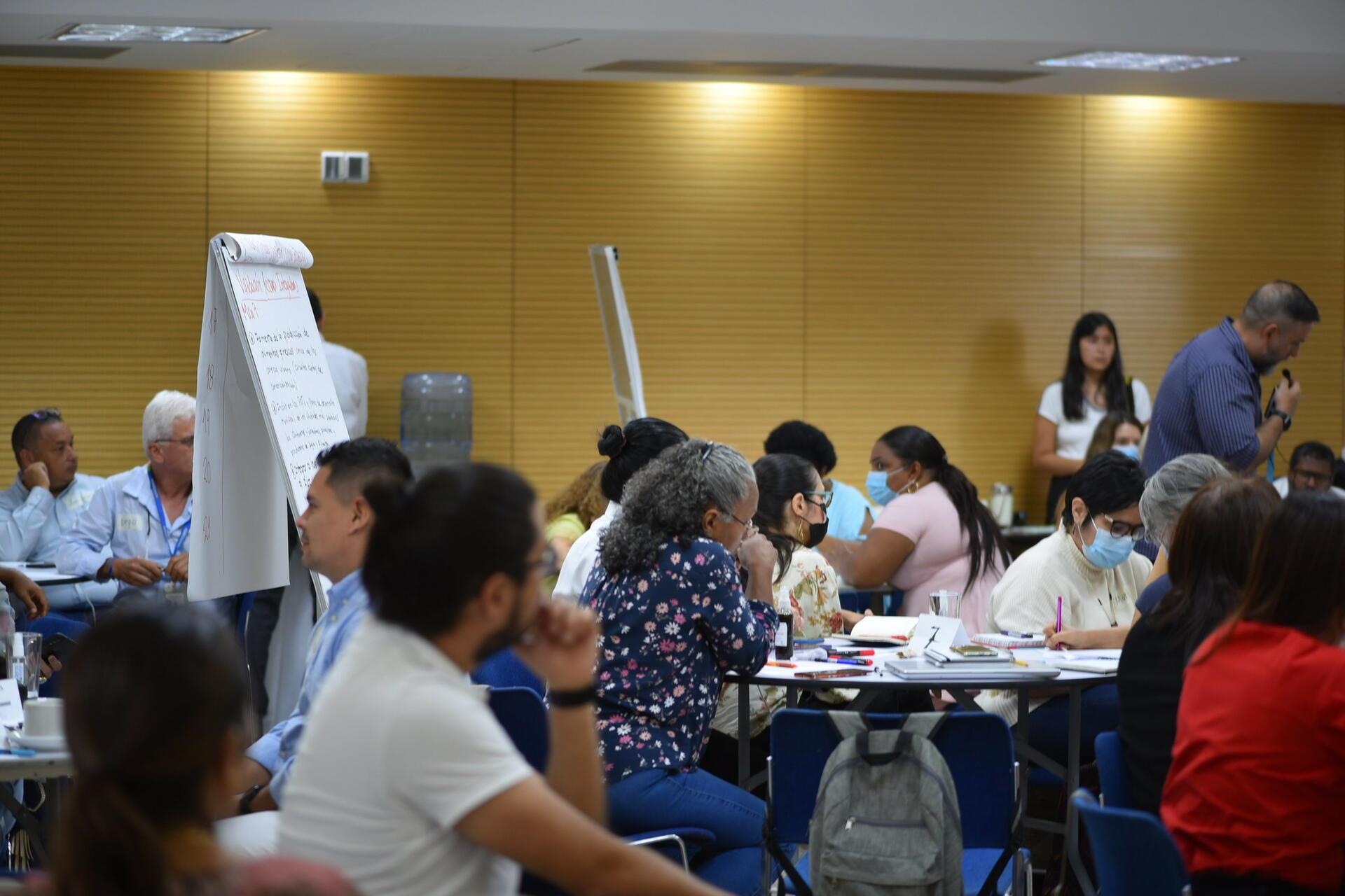
In a recent session organized by the Qualitative Studies Group of the Alliance of Bioversity and CIAT, Leidy Tibaduiza-Castañeda, researcher at AGROSAVIA, shared her experience applying social cartography in rural Colombia. The method, she explained, goes beyond mapping landscapes, it captures how people see and relate to their environment, revealing social hierarchies, community dynamics, and tensions often invisible in conventional research approaches.
Why it matters
In a world where data often speaks louder than voices, social cartography reminds us that maps can be instruments of empowerment. They help translate lived experiences into actionable insights, guiding context-specific interventions and supporting more equitable, informed decision-making.
For researchers working in food systems, the methodology offers a comparative advantage: it bridges local realities with research objectives, fosters trust, and reveals spatial dimensions of knowledge that quantitative data alone cannot capture. Ultimately, it shows that drawing together is a step toward understanding - and transforming - the complex landscapes of rural life.
Do’s and don’ts in practice
Like any participatory tool, the success of social cartography depends on how it is applied.
Do’s:
- Start simple: Use blank white paper and colored markers to encourage creativity and openness,
- Facilitate inclusion: Work in subgroups so that everyone can contribute and build on others’ ideas,
- Listen and adapt: Let community members guide the process; the facilitator’s role is to connect, not direct,
- Complement with other tools: Combine the maps with interviews, calendars, or spatial data to enrich interpretation.
Don’ts:
- Avoid overloading the map: Too much pre-drawn data (like satellite images or predefined boundaries) can limit local expression,
- Don’t rush: The value of mapping lies in the conversations it sparks; allow time for reflection and dialogue,
- Don’t treat the map as a finished product: It’s a living document, a platform for learning, negotiation, and collective understanding.
Lessons from practice
Over time, practice has evolved. Initially, mapping was done by small groups while others observed. Today, it is carried out in rotating subgroups, allowing everyone to contribute to a single collective map. “This inclusive approach not only ensures participation,” says Tibaduiza-Castañeda, “but helps the facilitator connect and synthesize diverse perspectives.”
Her doctoral research further extended the method’s use: communities mapped not only physical space but also social tensions and relationships in agricultural research. These maps became visual metaphors of the territory, illustrating how knowledge, conflict, and collaboration coexist and shape pathways to change.
Participatory mapping in agricultural research
Through collective map-making, farmers and local actors build visual representations of their territories that reflect their lived experiences, priorities, and aspirations. The act of drawing itself becomes a democratic tool, as Tibaduiza-Castañeda notes, “the possibility of painting is accessible to everyone, regardless of educational level,” opening space for dialogue and shared understanding. In this way, maps serve as bridges between scientific and community knowledge, supporting more grounded interpretation of context and collaborative decision-making.
Across agricultural research initiatives in Colombia, social cartography has demonstrated its value. In dairy value-chain strengthening efforts, it helped producer associations visualize social, environmental, and economic dynamics, facilitating peer-to-peer learning and improved farm-level practices. In quinoa and cacao systems, communities used maps to recognize key territorial resources, envision sustainable production models, and tailor technological tools, such as digital traceability systems, to local realities. These experiences highlight the methodology’s power to connect geography, people, and innovation, making it a catalyst for informed action and inclusive development.
Rooted in critical cartography, the approach also invites communities to question dominant spatial narratives and reclaim the authority to define their territories. As Tibaduiza-Castañeda emphasizes, starting with a simple sketch and leaving room for color and creativity fosters richer dialogue and deeper reflection on the symbolic and emotional dimensions of place. Social cartography is not only about representing space, it is about reshaping relationships, elevating local knowledge, and imagining new futures for agricultural research together.