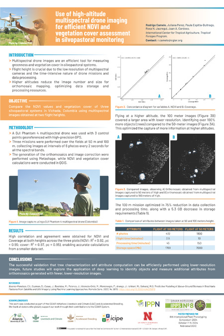
Poster
Use of high-altitude multispectral drone imaging for efficient NDVI and vegetation cover assessment in silvopastoral monitoring

Camelo, Rodrigo
Camelo, R.; Pérez, J.; Espitia Buitrago, P.; Jauregui, R.N.; Cardoso, J.A. (2024) Use of high-altitude multispectral drone imaging for efficient NDVI and vegetation cover assessment in silvopastoral monitoring. Poster Prepared for the 8th International Plant Phenotyping Symposium on 7-11 October 2024 in Nebraska (USA). 1 p.