
Omo-Gibe landscape characterization: An integrated biophysical and socio-economic assessment of the Omo-Gibe Landscape, Ethiopia
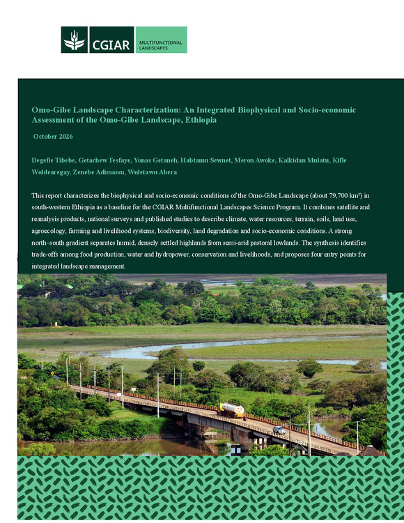
The Omo-Gibe Landscape covers about 79,693 km² of south-western and southern Ethiopia, between 4.45°N–9.37°N and 35.00°E–38.41°E. It is one of Ethiopia's most strategic river systems: it hosts the Gibe hydropower cascade, supports mixed crop–livestock, coffee, enset and pastoral production systems for an estimated 13.7–16.1 million people, protects some of the country's most important forests and wildlife areas, and supplies more than 80% of the inflow to Lake Turkana in Kenya. This report presents an integrated biophysical and socio-economic characterization of the basin, prepared as a spatial baseline for the CGIAR Multifunctional Landscapes Science Program (MFL-SP). It combines satellite and reanalysis products, national survey data, baseline information from several projects (including BRIGHT) and published literature, summarized at basin and sub-basin (ten units) levels.