Blog Eyes on the forest: training local experts on remote sensing based forest monitoring tools
By Kalkidan Ayele Mulatu; Degefie Tibebe; Paula Andrea Paz Garcia; Getachew Tesfaye Ayehu
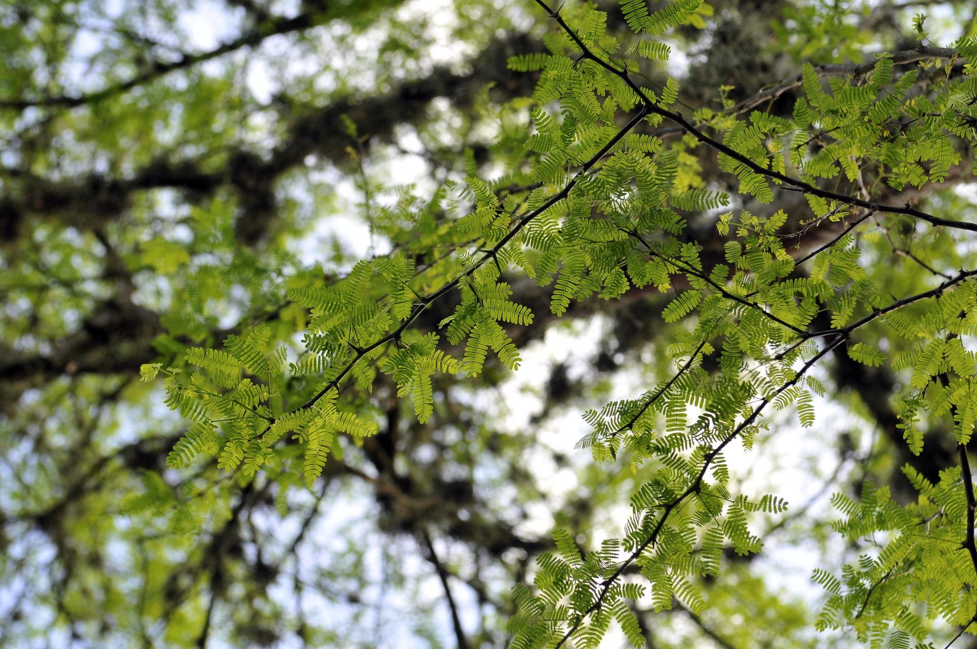
Ethiopia’s Southwestern forests are core of the country’s forest and biodiversity resource, hosting four out of five UNESCO designated biosphere reserves in Ethiopia. However, human induced activities, such as both small scale and large-scale agricultural expansion, selective logging, settlements, and coffee plantation have exerted pressure on these invaluable forests.
Several mitigation actions are being implemented to curb pressures off these forests and maintain their ecological integrity. Approaches such as Participatory Forest management (PFM), where local communities have a vital role in conserving their forests, are promoted to sustainably manage the forests while benefiting communities living closest to it. The Reduction of Emission from Deforestation and Forest Degradation (REDD+), a framework created by the United Nations Framework Convention on Climate Change (UNFCCC) Conference of the Parties (COP), is another mechanism that is largely implemented in SW Ethiopia where reduced emissions from the forest sector are promoted along with the sustainable management of forests and the conservation and enhancement of forest carbon stocks.
The impacts of such approaches (i.e., PFM and REDD+) are expected to be evaluated through a measurement, reporting, and verification (MRV) system, to establish evidence on successes and where applicable, request result-based payments for reduced emissions from avoided deforestation and forest degradation. However, acquiring information on forest changes and drivers of change is often challenging as much of it happens in remote areas, far from the eyes. In addition, the issue of capacity, both in terms of financial and technical sense highly restricts the information that can be gathered and communicated to design timely responses.
The Alliance Bioversity & CIAT (The Alliance) is working in partnership with Development Fund Norway (DF), and Ethio Wetlands and Natural Resources Association (EWNRA) to implement a NORAD funded REDD+ PFM project in SW Ethiopia. ABC is bringing in an evidence generation package to the third phase (2021-2025) of this project where one aspect of it is to produce a Near Real Time (NRT) forest monitoring system using Remote Sensing to informs on forest changes in the project area. Having a timely observation on changes and information on drivers of deforestation is expected to support local authorities to locate and identify hotspots, count annual and weekly detection changes, track main drivers, and design a mechanism to respond to changes as they happen.
As part of the forest monitoring and capacity building support ABC is delivering to this project, a tailor-made training on remote sensing-based forest monitoring approaches was conducted at International Livestock Research Institute (ILRI), Addis Ababa campus from 19th-23rd September 2022. The training aimed to provide capacity building to Woreda level forest monitoring experts in using geospatial data and exploring the application of remote sensing (RS) based products and tools for monitoring forest changes in project implementation areas and beyond. A total of 32 participants attended the training, out of which 29 were Woreda level experts that would otherwise rely on field-based observations to derive forest change information.
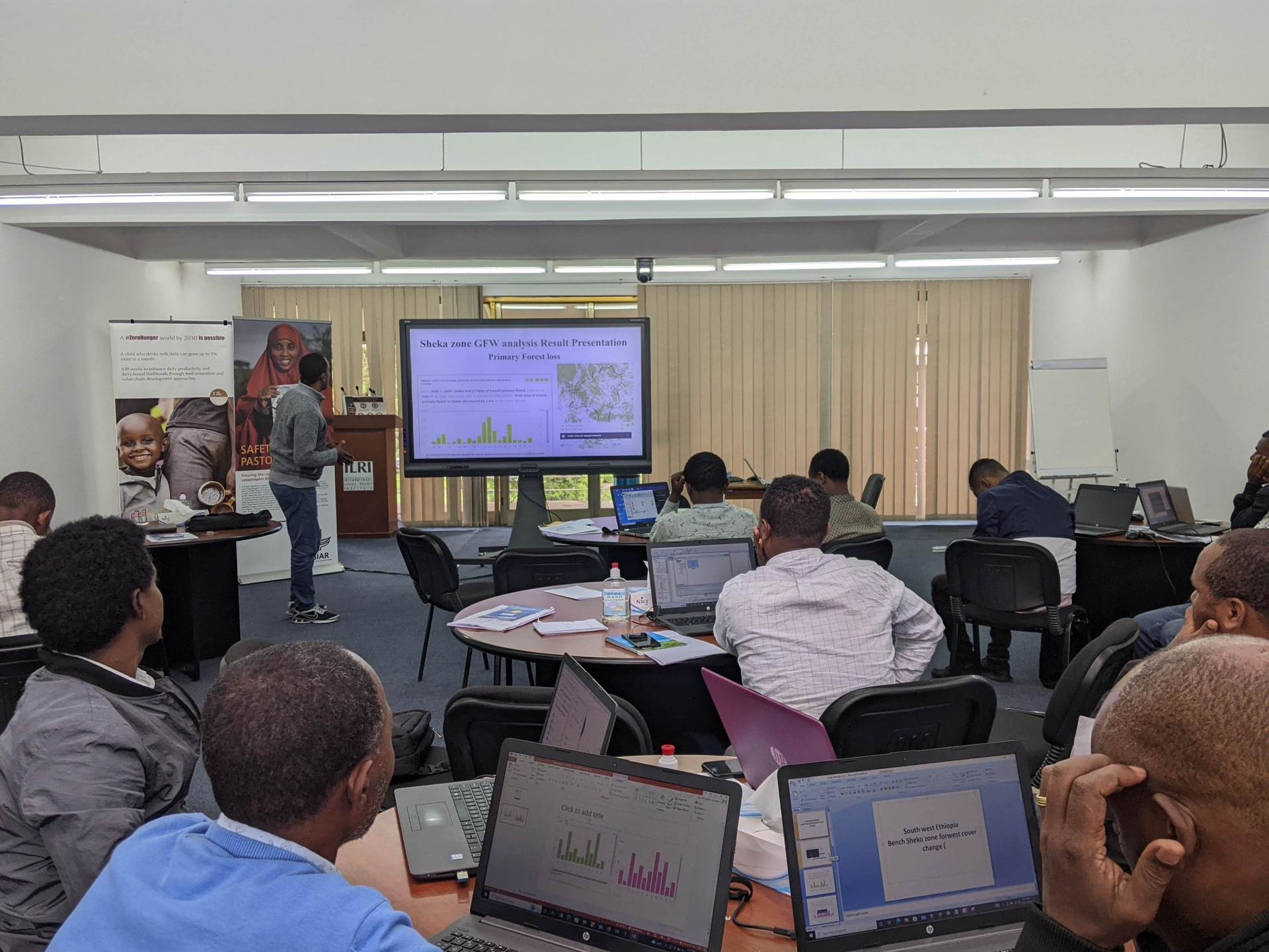
Participant from Sheka Zone presenting information on forest conditions derived from near real time platforms
Mr. Heiru Serbela, Director, Forest Resources Assessment & Monitoring Directorate, from Ethiopian Forest Development, was able to establish mutual understanding on the status of the national REDD+ activities and the application of RS in the national REDD+ MRV system on his lecture and follow-up discussions on the topic.
The identification of recent alerts, assessment of deforestation trends, and forest change validation through citizen science-based approaches were exercised with hands-on training. Backgrounds were also provided on remote sensing satellites and sensors, open data types, and their applications in vegetation change monitoring. Trainees also had the chance to discuss the type of forest monitoring system they apply in their respective woredas and how RS based systems can help fill gaps. Different RS based forest maps and forest change monitoring platforms were also introduced. Their pros and cons were discussed in terms of data availability in rainy seasons, spatio-temporal resolution (details provided), and ease of access. The trainees had dedicated time and support to familiarize themselves with key online forest monitoring platforms (e.g. Global Forest Watch, JJ-FAST, Terra-i) and identify near-real-time forest change alerts associated with their woredas.
Following the introduction provided on QGIS and Google Earth, they brought NRT forest changes to these mapping environments for further analysis. Trainees were also actively engaged on how RS derived alerts can be validated using online platforms (e.g. Collect Earth Online, JJFAST) hosting recent high-resolution images (e.g. NICFI Planet) as well as using mobile phone apps (e.g. ForestWatcher, Open Data Kit (ODK)) that can be used on the field. Finally, the trainees demonstrated how key information derived from the forest monitoring platforms can be used to analyze forest resources, deforestation patterns, carbon stock potentials etc. of their zones.
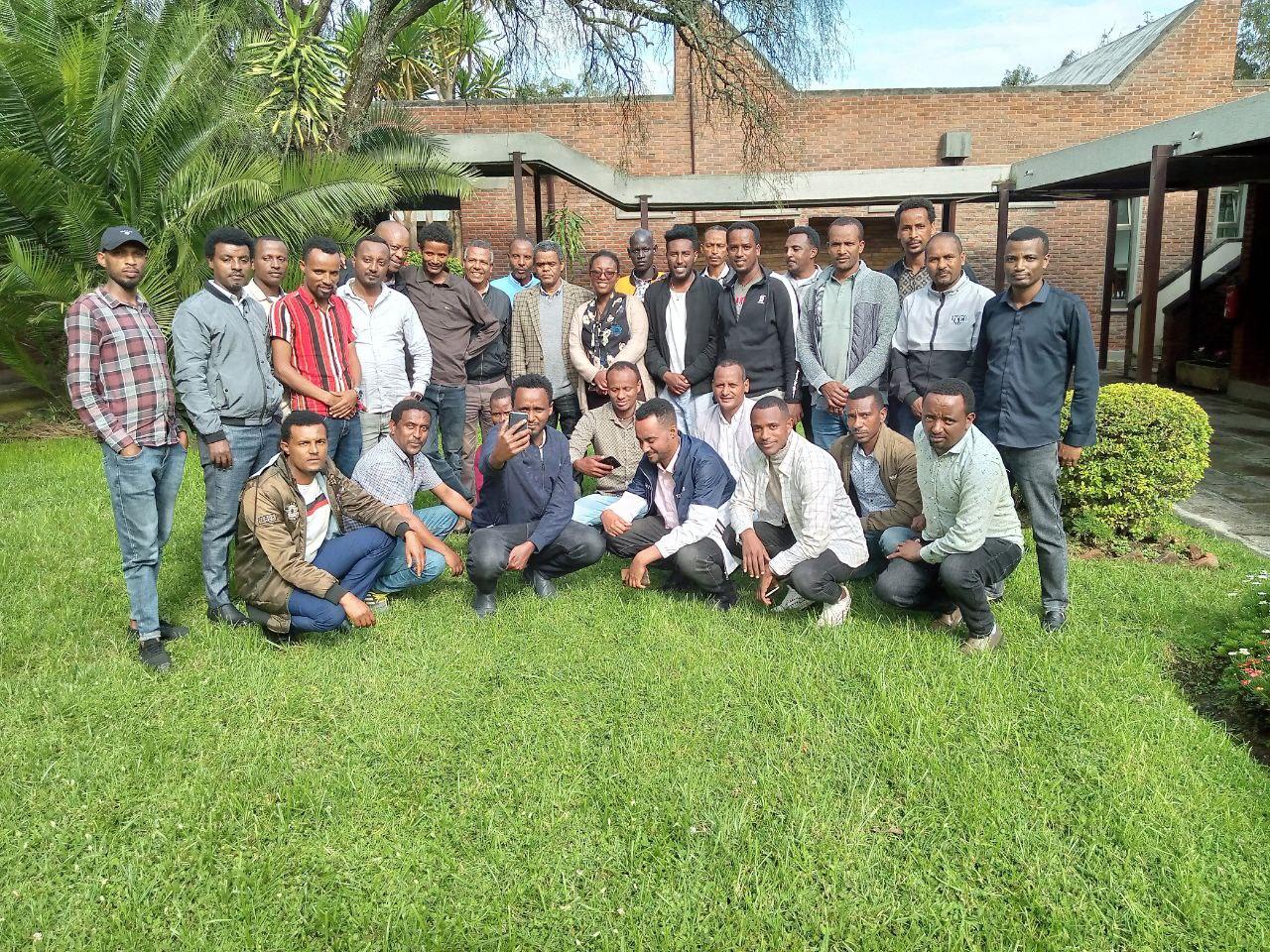
Trainees and Trainers at the ILRI campus, Addis Ababa, Ethiopia
“We need continued technical and technological support for successfully exercising, implementing, and transferring the acquired knowledge” was a common voice from trainees on the way forward. Accordingly, a telegram group was created to exchange information on progress and challenges, so that colleagues from the Alliance and Ethio-Wetlands can provide remote backstopping.
The training program has proved that local experts need to have central roles in planning and execution of conservation activities. The interpretation and validation of RS derived alerts by experts on the ground that knows their environment very well, establishes a deeper level of understanding on types and patterns of deforestation and its drivers. The special role RS has in providing key information on activity data can further be strengthened by linking with citizen science, creating a powerful stream of information that will provide great insight to not only detect deforestation but also expose subtle changes such as forest degradation. Such processes need to be supported through continuous capacity building programs.