
Biophysical characterization: Sustainable Intensification Mixed Farming system (SI-MFS) sites in Ethiopia
The SIMFS initiative in Ethiopia is implemented under the scheme of sustainable intensification of crop-livestock mixed farming systems. Its purposes are to encourage the adoption and innovation of sustainable intensification technologies that improve crop, livestock, and water productivity, and conserve natural resources for smallholder farmers in Ethiopia. To implement the SI-MFS in Ethiopia, three project sites in Basona Worena (of North Shewa Zone of Amhara region), Doyogena (Kembata Timber Zone of SNNP), and Lemmo Woreda (Hadiya Zone of SNNP) were selected based on bio-physical and socio-economic criteria set by experts of the implementing CG centres (i.e., ABC, ILRI, and ICARDA) based in Addis Ababa, Ethiopia. The objective of this study was to characterize the biophysical features of the project woredas and produce primary benchmark information to establish key monitorable biophysical indicators. This study encompassed topographic characterization, climate, existing land use and land cover, soil chemical and physical properties, soil erosion, land net productivity, and carbon storage of the selected sites.
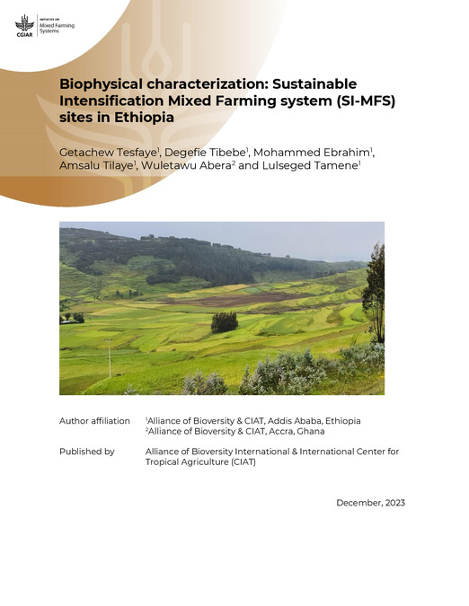
Accordingly, the study sites were found to have mountainous, undulating terrain that is prone to soil erosion. Because of the extensive range in elevation, the study areas have diverse vegetation and broad farming systems. Thus, it is quite common to see different types of cereals, pulses, vegetables, fruits, and agro-forestry practices throughout the study sites. The slop map has revealed that the majority of the area in Basona woreda is represented by slopes greater than 15%, making this site quite challenging for agricultural uses. As a result, there is a need to introduce various soil and water conservation measures to improve the farmland and sustain crop production. Conversely, a significant portion of Lemmo and Doyogena Woreda has slopes that are either almost flat or gentle sloping, making the two sites more ideal for agriculture. The long-term mean rainfall analysis has indicated that Basona woreda receives rainfall ranging from 890 to 1310.38 mm, whilst Lemo and Doyogena Woreda receive rainfall ranging from 1114.98 to 1273.56mm and 1163 to 1311.58mm, respectively. More than 70% of the annual rainfall in the study woredas are received during the main rainfall season (referred to as Kiremt) that occurs between June to September.
Agricultural land is found to be the most dominant LULC type in the Basona Worena woreda. In Doyogena and Lemo Woredas, the most common LULC types are forest land and bareland, respectively. In general, soil in the study site was found to be predominantly acidic, with organic carbon and nitrogen contents ranging from 1 to 36 g/kg and 1 to 4 g/kg, respectively. Clay and clay loam textured soil is the major soil texture class in the study woredas, and these classes of soils are often very fertile and could be used for agricultural uses. Vertisols, a highly productive group of soils, are the dominant soil type in Baona woreda and covers more than half of the total area. While Luvisols are the most common soil type in both Lemo and Doyogena Woreda. Luvisols are generally fertile and widely used in agriculture. Soil erosion is found to be the most critical problem over the study sites, particularly in Basona Woreda, which is characterized by complex and rugged topography, with the majority of the woreda classified as having a severe erosion problem, with more than 40t/ha/year soil loss. Soil at the study sites majorly lie over somewhat poorly drained classes, and special management of the farm site might be needed for best crop production. The study site has a capacity to store more than 135 t/C/ha, particularly in areas dominantly covered by forests and other vegetation.