
Agua de Honduras will be expanded to facilitate water planning in the country's main watersheds
What is the Agua de Honduras Platform?
The Agua de Honduras platform is an innovation initiative that offers reliable information on water resources in a responsive way and free of charge. This platform combines scientific methods, public information on climate, hydrometry, official hydrographic delimitations, soil, plant cover, water demands, and digital technology, with the aim of facilitating decision-making on water management in micro-watersheds, sub-watersheds, and watersheds.
By: Sindy Leverón
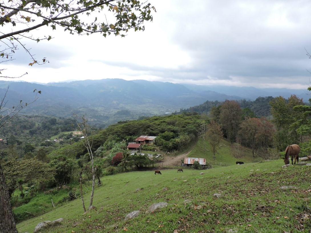
The platform has been developed in different modules, some of which have implemented hydrographic delimitations or climate change scenarios for the whole country, official information to support the integrated management of natural resources in Honduras. Other modules contain tools, such as AGRI (Spanish acronym for Water for Irrigation: AGua para RIego), and some focus on the assessment of water balance under natural conditions. According to climate change scenarios and changes in plant coverage, these were implemented in 2,237 micro-watersheds from 11 watersheds in the western and southern parts, in approximately 3.5 million hectares across eight departments (Copán, Intibucá, Lempira, La Paz, Ocotepeque, Santa Bárbara, Choluteca, and Valle).
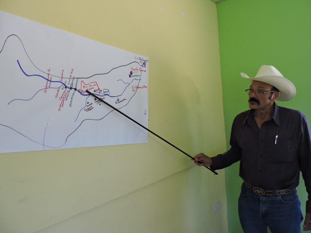
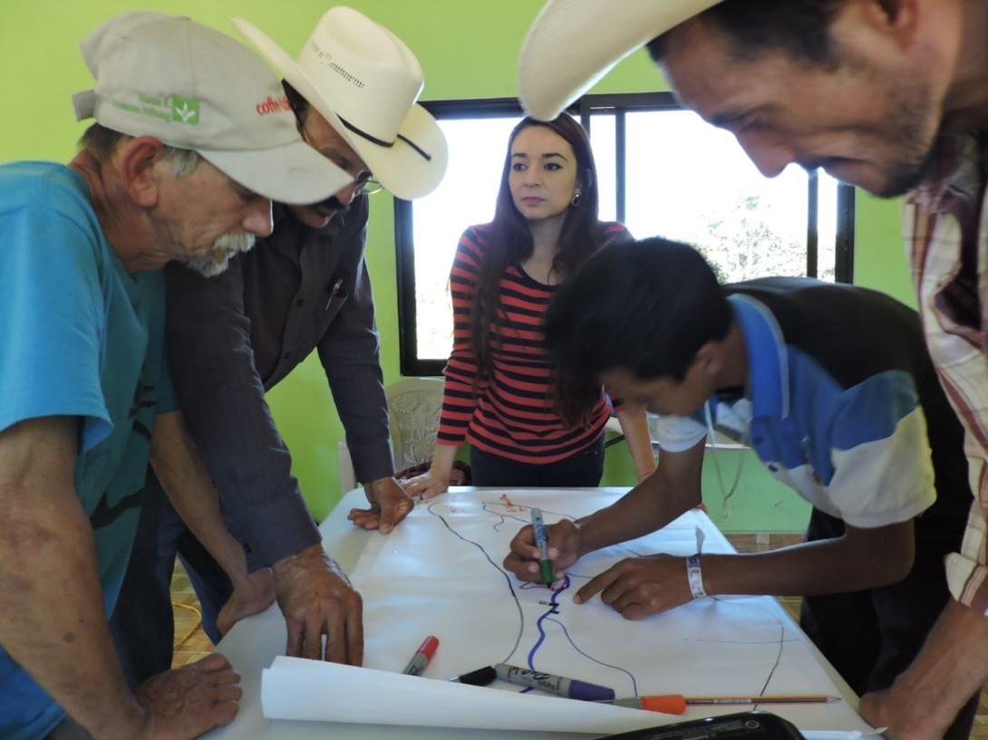
Agua de Honduras seeks to engage the communities and local stakeholders in the water planning process. Thus, after communities introduce their information on water use and local demand, discussions are generated about a tailored water balance, leading to water planning based on all the aforementioned information and scenarios.
However, Agua de Honduras requires an active participation and local empowerment to be used and fulfill its main goal: improve local water governance and planning. Furthermore, several of its modules have not been implemented in all the Honduran watersheds, and since their initial implementation, new challenges have been identified for the platform. This is the reason why a new implementation phase is starting.
Who has taken part in platform development and local implementation?
Agua de Honduras has been developed through interinstitutional cooperation agreements between CIAT – now part of the Alliance of Bioversity International and CIAT – and the Directorate General for Water Resources (DGRH, its Spanish acronym) of the Secretariat for Natural Resources and the Environment (MiAmbiente+). This has been an initiative funded by the United States Agency for International Development (USAID), the Swiss Development Cooperation (SDC), and for the generation of climate change scenarios, the United Nations Development Programme (UNDP), with collaboration from the Directorate for Climate Change at MiAmbiente+.
Agua de Honduras reloaded: the new implementation phase
After four years of providing free information on the water resources in the country, and with new support from USAID/Honduras, a third phase of the Agua de Honduras platform has started and will extend into 2023. This new phase aims to strengthen the local capacities to increase the ownership of the platform and improve water resources planning and management in the areas of implementation.
Additionally, the implementation area will be expanded across all the watersheds of rivers Ulúa, Chamelecón, and Omoa. This expansion area covers 1,377,048 hectares, which represents a 39% increase of the total area currently covered by the platform. After this intervention, the platform will be expanded to 867 new micro-watersheds, which will increase the coverage to a total of 3,104 micro-watersheds, representing 44% of the Honduran territory.
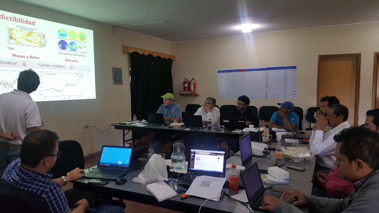
This new implementation phase will be carried out through capacity strengthening and increasing the number of local and national stakeholders using the water planning tools and the information provided by the platform. Capacity strengthening in national, regional, and local institutions – that play a role in water, soil, and land management – will focus on the use, adoption, and administration of the platform for water planning. It will also carry out continuous improvement on the platform based on users’ feedback, new technological advances, and needs arising to enhance water management in the country.
What’s new in Agua de Honduras?
In addition to scaling the tools already in the platform, in this phase, new analyses and tools will be included, such as: 1-) identification of potentially flood-prone areas, which will enable planning of actions against extreme events, such as those recorded in 2020 (hurricanes Eta and Iota); 2-) creation of a flooding index for all the micro-watersheds with a water planning system; and 3-) integration of planning platforms for decision making, especially the integration of Agua de Honduras with Terra-i Honduras.
Advances in the new implementation phase
This new phase in Agua de Honduras is already starting to reap positive results, such as the digital maps showing soil features at a spatial resolution of 30 m, with information on organic matter, soil texture (clay, sand, and silt), and water retention capacity, generated for a large part of the country. This information is freely available in the Download section of the platform. It may also be accessed directly at this link: https://doi.org/10.7910/DVN/MBHUV4.
The new mapping is a key input for analyses with the AGRI tool and to develop the water balance in the new intervention area. This way, now Honduras has valuable soil information for hydrological and environmental planning in a large part of the country.
“Through this new implementation phase, nearly 4.9 million hectares in the country will have information related to water resources. The different activities developed within the framework of this project will be key to ensuring full adoption of the Agua de Honduras platform by local and national stakeholders, thereby enabling the strengthening of the country´s capacities for water resources planning and management”, said Jefferson Valencia, Senior Coordinator of the Alliance, who leads this initiative.
Find more information on our project at:
1. Identifying water sources for smallholder farmers with AGRI | CIAT Blog (cgiar.org)
5. Inter-institutional team tackles Honduras’s water crisis | CIAT Blog (cgiar.org)